A Mild Weekend Before Cooler Weather Returns

Winnipeg will see seasonably mild temperatures this weekend before more rain and cooler weather returns.

Winnipeg will get to enjoy a comparatively pleasant weekend when compared to the last! The city will see daytime highs in the low teens right through the weekend and overnight lows hovering a bit above 0°C. This morning’s southeast winds near 30 km/h will ease later today, then stay light through the rest of the weekend.

A trough moving through today will keep skies overcast across the region today. While there may be a slight risk of some late-day rain for Winnipeg, it’s more likely that any precipitation develops to the east and northeast. Some sun will return for Saturday with mixed skies.

The Red River Valley will see a chance for more accumulating rainfall on Sunday night.

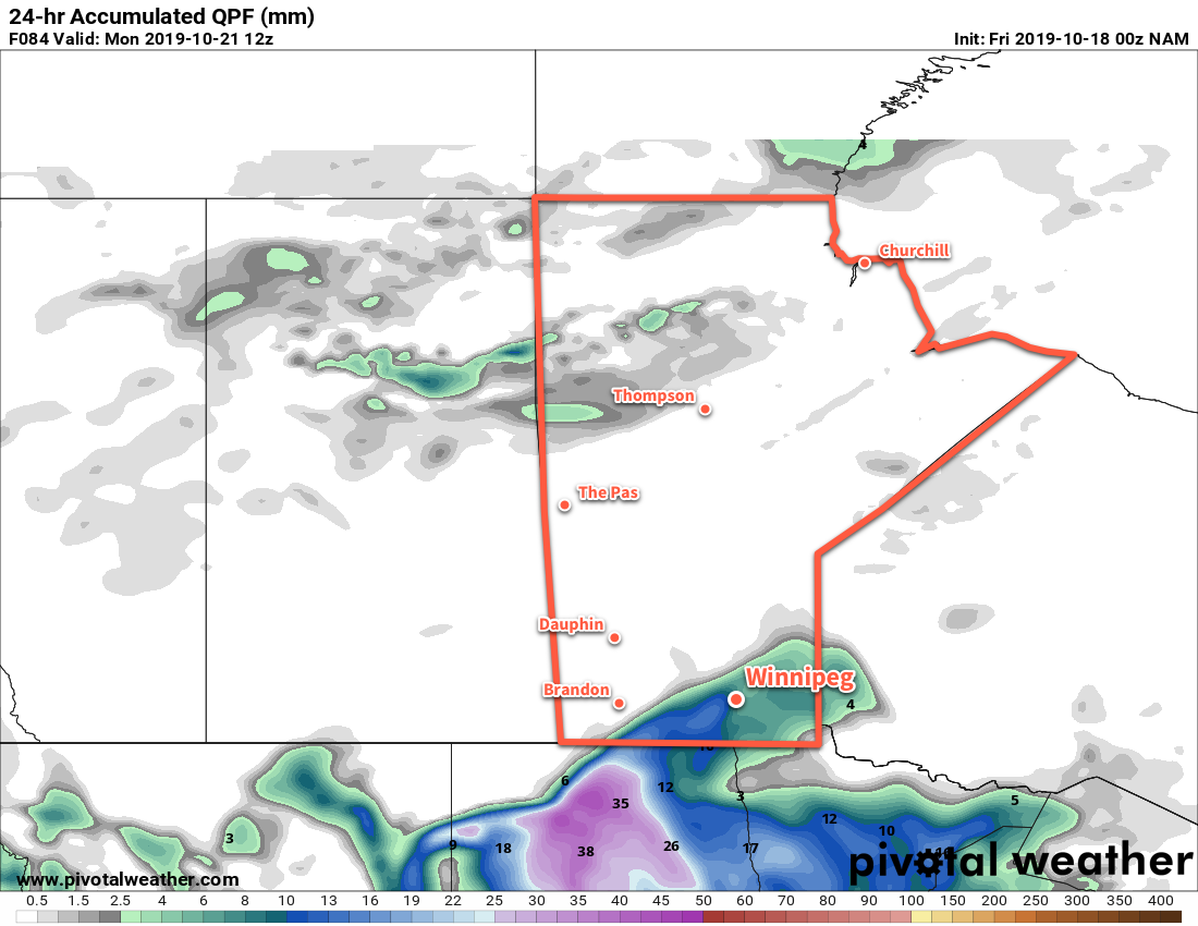
On Sunday, a low pressure system will move across the Dakotas into Minnesota, spreading more cloud back into the region. On Sunday night, winds pick up out of the north and some rain is likely over the Red River Valley. There’s uncertainty with amounts at this point, but 5 to 15 mm across the region seems likely.

Long Range Outlook

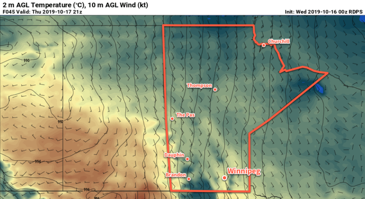
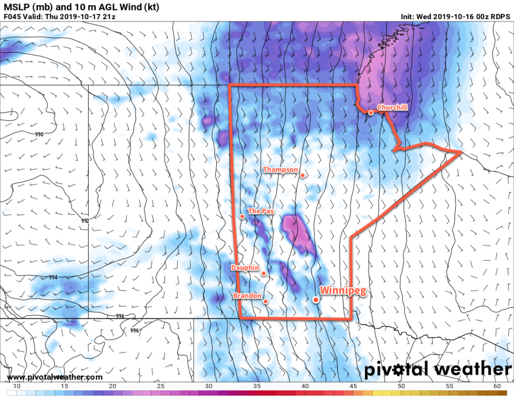
More rain is possible on Monday as colder air begins to push southeastwards across the Prairies. The rest of the week will likely bring mixed to cloudy skies with several lake-effect precipitation events developing off of the Manitoba Lakes through the week. Daytime highs will dip to the mid- to low single digits with overnight lows hovering around the freezing mark.

Today’s seasonal daytime high in Winnipeg is 9°C while the seasonal overnight low is -1°C.

Seasonal Temperatures Return to Winnipeg

After one more cool day, breezy southerly winds develop and usher seasonal temperatures back into the region.

A ridge of high pressure moving through southern Manitoba today will keep winds light and temperatures cool. In Winnipeg, the high will sit near 5°C. With so much moisture stuck in the region, skies should remain mostly cloudy through the day. A light southeasterly wind will develop tonight with temperatures dipping to a low near 0°C.

A warm front will move across Manitoba on Thursday, bringing breezy southerly winds. Warm air will push eastwards into the region as the wind increases into the 30 to 40 km/h range. Temperatures will climb to a high near 11°C in Winnipeg, continuing to rapidly melt the remaining snowpack. Winnipeg will see a bit of sun through the day as the clouds giving way to mixed skies. On Thursday night, the cloud cover will thicken back up with breezy winds continuing. This combination of cloud and wind will keep temperatures warmer with a low near 6°C in Winnipeg.

Breezy southerly winds will develop over the Red River Valley on Thursday.

On Friday, a broad trough of low pressure will move across the region. With cloudy skies, temperatures will continue at near seasonal values. Winnipeg should see a high near 11°C again with the southerly winds gradually easing. No significant precipitation is expected, but some scattered light rain is possible. Skies will become mixed again on Saturday night as a westerly wind builds into the region behind a weak cold front. Temperatures will dip down to a low near 5°C.

Long Range Outlook

Seasonal conditions will continue into the weekend with highs in the low teens and overnight lows in the low to mid-single digits. The region should see some sun return for Saturday, but another disturbance moving into the region on Sunday will bring more cloud with a chance of light rain, particularly overnight into Monday.

Today’s seasonal daytime high in Winnipeg is 10°C while the seasonal overnight low is 0°C.

Cleanup Continues With Cool and Cloudy Conditions

Southern Manitoba will continue to see plenty of cloud cover as the region continues to clean up after the historic winter storm last week.

Another low pressure system crossing the Prairies will keep Winnipeg locked under cloudy skies for the next few days. Between the lack of sun and the new snow pack covering the region, temperatures will stay well below seasonal averages. Over the next few days daytime highs will hover near 4°C while low dip to around freezing.

Winds won’t be much of an issue the next while, either. Light southerlies will persist today, switching to northerly on Tuesday as the low passes. Northwest winds of 20 to 30 km/h will develop for Tuesday, but a ridge of high pressure will bring light winds for Tuesday night into Wednesday.

Cooler daytime highs will occur over the fresh snowpack in southern Manitoba and North Dakota.

The only notable weather will be as the low moves through tonight into Tuesday. A wintery mix of light precipitation will move through the Red River Valley overnight, leaving behind a chance of scattered rain showers or flurries for Tuesday. Accumulations will generally be light with 1 to 3 mm for most areas, but a narrow band of 5 to 10 mm may develop along the low track. The heaviest precipitation will remain south of Winnipeg, but whether it occurs in southern Manitoba versus North Dakota is still questionable.

Long Range Outlook

The sun will attempt to reappear in the latter half of the week as warmer air pushes eastwards across the Prairies. Exactly how warm temperatures are able to climb will depend on how much snow remains on the ground. More snow will mean temperatures stay locked into the low single digits. For any areas that are able to eliminate much of the snow pack, highs could climb into the low teens.

No precipitation is expected through the latter half of the week.

Today’s seasonal daytime high in Winnipeg is 11°C while the seasonal overnight low is 0°C.

Major Winter Storm Hammers Southern Manitoba

A Colorado Low is bringing a major early-season winter storm to southern Manitoba that ranges from rain to a crippling blizzard.

Because the storm is ongoing and long-lasting, we are not issuing a standard forecast today. This is a complex and dynamic system that requires constant monitoring as the snow/rain line wiggles around the region. We strongly encourage you check your local weather forecast from ECCC and the weather warnings in your area.

As a general overview, a Colorado Low will gradually move into southeastern Manitoba today. Waves of rain will spread westwards, transitioning into moderate to heavy snow over the Red River Valley and areas west. Storm total snowfall will range from a trace all the way up to in excess of 50 cm. The most snow will fall in upslope areas of the Turtle Mountains, Riding Mountains, and the western escarpment of the Red River Valley. The snow that is falling will be wet, heavy snow, resulting in significant snow loading on trees and infrastructure.

Complicating matters will be strong north-northwest winds with widespread gusts in the 70 to 90 km/h range. These strong winds, combined with the heavy snow, will produce poor visibilities and an elevated risk of damage to trees an infrastructure. Over 23,000 people were without power on Thursday evening and the widespread power outages will likely continue today as well.

Heavy snow will continue over southern Manitoba today with the hardest hit areas extending from the western Red River Valley region southwards into eastern North Dakota.

The storm will gradually ease across the region on Saturday, leaving just a few flurries or showers for Sunday.

Today’s seasonal daytime high in Winnipeg is 12°C while the seasonal overnight low is +1°C.