An area of high pressure building into Manitoba will bring pleasant summer conditions to southern Manitoba this weekend with a low chance of an isolated thunderstorm or two.

To end the work week in Winnipeg and area, northerly winds behind a cold front will bring seasonably cool temperatures to the area. With gradually clearing skies, temperatures will climb to a high around the 20 °C mark this afternoon. Those northerly winds will ease from around 20 km/h today to light this evening, followed by temperatures dipping to a low near 10 °C.
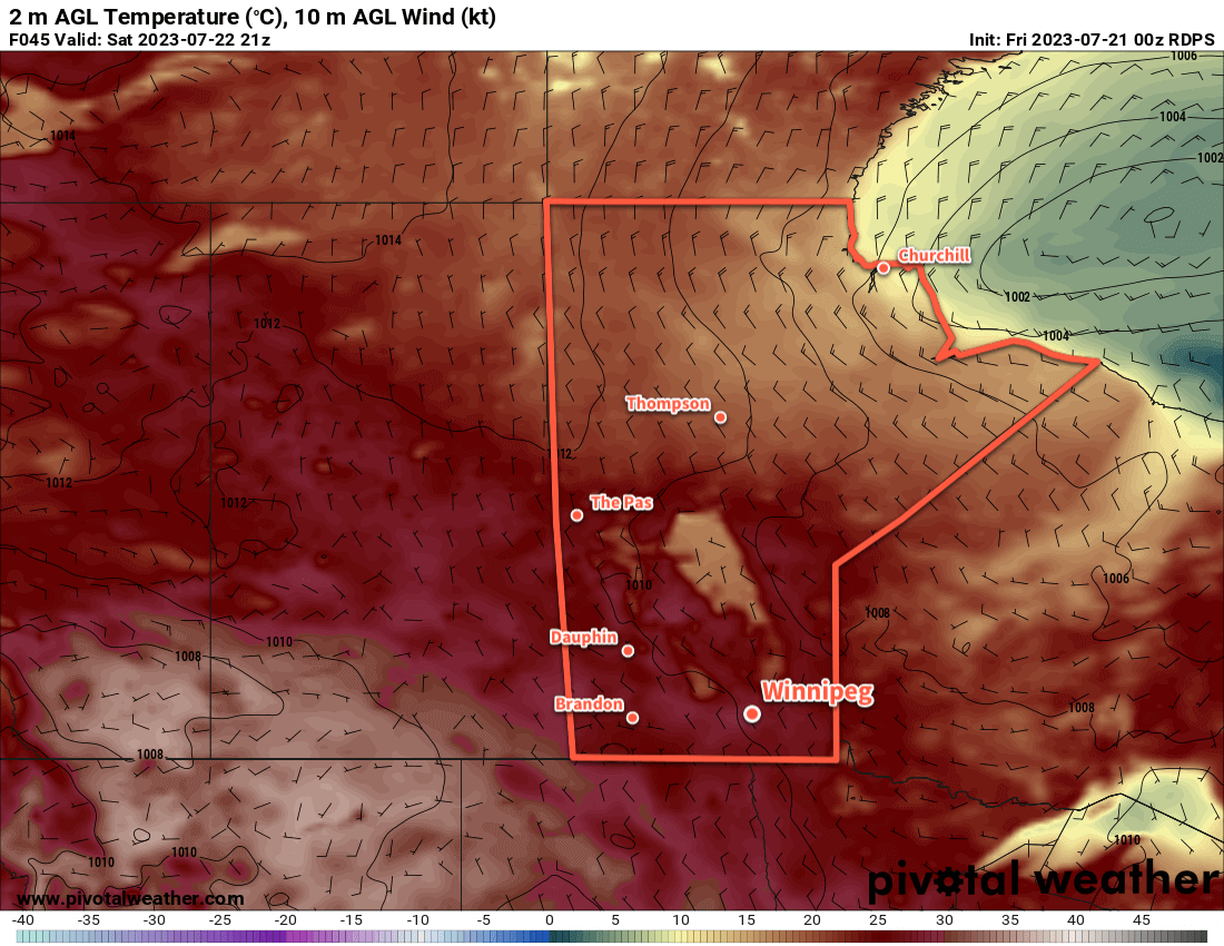
On Saturday, warmer weather will return to the region with highs back into the mid-20s. Some cloud will develop in the afternoon as a weak upper trough swings across the region; some showers will be possible on Saturday night as it moves through. Winds will be light on Saturday night as an area of high pressure moves in. Temperatures will dip down to the low teens overnight.
On Sunday, warm weather returns with highs climbing back into the upper 20s under sunny skies. A few locations may even see temperatures reach the low 30s. Humidity won’t be an issue, making for a great day to enjoy some time outside.
Long Range Outlook
Next week will kick off with another beautiful day on Monday; daytime highs will again sit in the upper 20s under partly cloudy skies. More humidity arrives Monday night, though, and with it will come variable cloudiness and the chance of showers or thunderstorms. Unsettled conditions are possible, particularly in the late overnight or early morning through mid-week, then more settled conditions should return for the end of the week as the humidity across the region eases.
Today’s seasonal daytime high in Winnipeg is 26 °C while the seasonal overnight low is 13 °C.