The Winnipeg area will stay smothered in cloud cover this week as temperatures gradually cool.
The Winnipeg area will be stuck under a blanket of cloud cover this week thanks to a stagnant flow over the region. Winds will stay light over the next few days as a weak ridge of high pressure stalls over southern Manitoba.
While an occasional sunny break may be possible, it looks like skies will stay mostly cloudy to overcast for the next several days.
Daytime highs will hover around -6 °C over the next couple days with overnight lows close to -10 °C. With temperatures in this range, flurries will be possible over the next couple days as well.
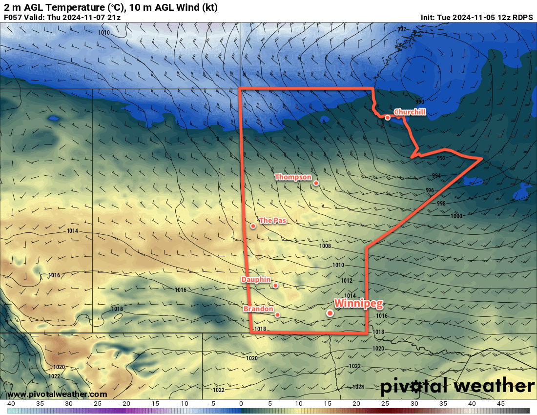
A cold front will slide through the area on Thursday, bringing breezy northwest winds and cooler temperatures. Winds should climb up to 30 gusting 50 km/h on Thursday as colder air pushes in. Temperatures will struggle to break -10 °C and then head down into the mid-minus teens on Thursday night. The cooler temperatures will make flurries less likely, but with the push of colder air there will be a chance that some lake-effect snow streams off Lake Winnipeg and Lake Manitoba.
Long Range Outlook
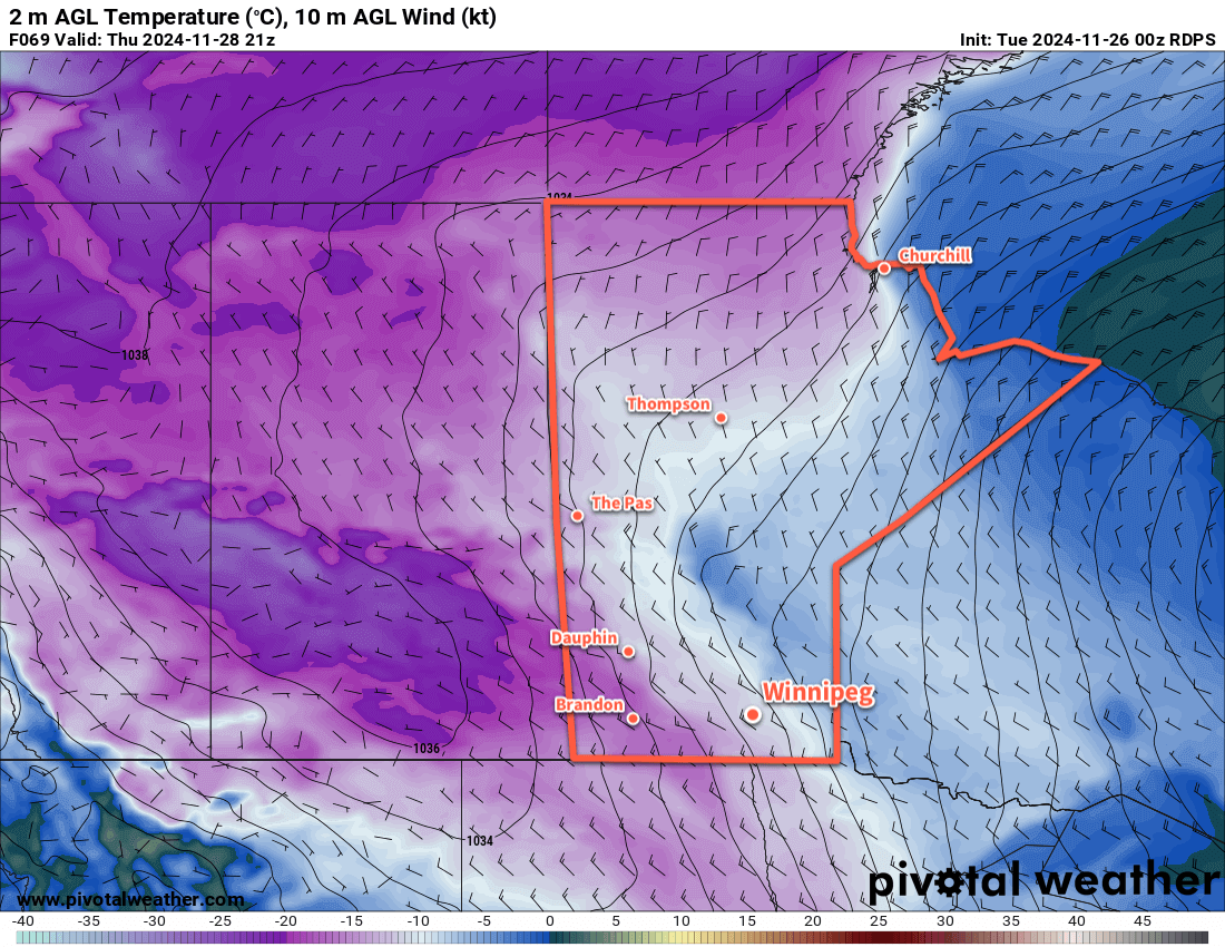
Heading into the end of the week, skies will likely stay mixed to mostly cloudy right through the weekend. Some sunshine is possible, but will more likely be through breaks in the cloud and any widespread clearing.
Temperatures will hold relatively steady with highs in the -15 to -10 °C range and overnight lows in the -20 to -15 °C range. Now that the city has snow on the ground, it will be much easier for temperatures to drop overnight, especially under any clearing that could develop.
Winds will gradually ease and there could still be some more flurries, but with the likelihood dropping along with the temperature.
Today’s seasonal daytime high in Winnipeg is -5 °C while the seasonal overnight low is -13 °C.
#awm/snow #awm/benign_weather #MBwx #Winnipeg