Winnipeg will see variable cloudiness over the coming days as a milder Pacific air mass brings above-seasonal temperatures back to the region.
Seasonal temperatures will give way to Pacific warmth this weekend as it spreads eastwards across the southern Prairies. The city will see a high near -9°C today with southerly winds picking up to around 20 km/h later this afternoon. Skies will stay mixed through the day. Some clearing will push into the region tonight with brisk 30 km/h winds. Temperatures will head to a low near -12°C.
Saturday will bring partly cloudy skies to the region as temperatures climb to a high near 0°C. Winds will start the day near 20 km/h and ease for the afternoon. Winnipeg will see variable cloudiness on Saturday night with temperatures dipping to a low near -7°C.
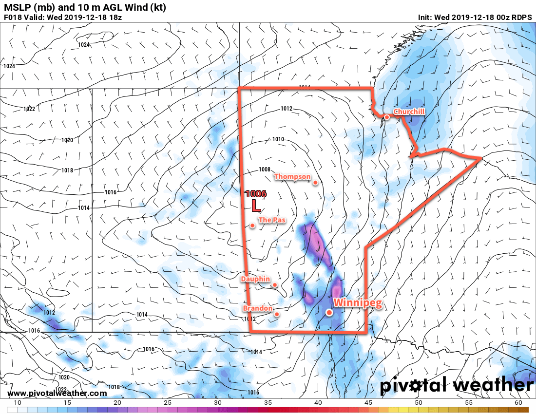
A low pressure system will push into the Interlake on Sunday, bringing more warmth to the region with mixed skies. Winds will pick up out of the south to around 20 km/h and send temperatures in Winnipeg to a high near 0°C. Winds will shift to the west later in the day with a bit more cloud pushing in for Sunday night. Temperatures should dip to a low near -10°C.
Long Range Outlook
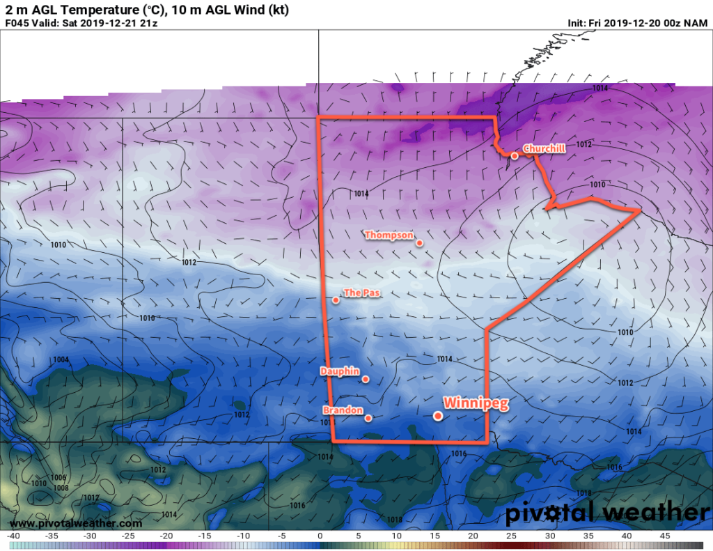
Beautiful December weather will continue right through next week with mild highs in the -5 to 10°C and mixed to cloudy skies. No significant snow is in the forecast.
Today’s seasonal daytime high in Winnipeg is -11°C while the seasonal overnight low is -21°C.