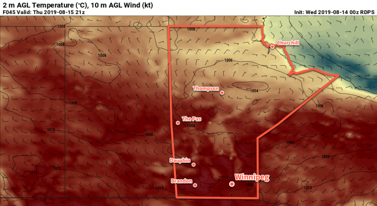
Cool Start to the New Work Week

Winnipeg will see seasonably cool temperatures to start the new work week, but warmer weather will quickly return.

Breezy northwesterly winds on the backside of a low pressure system that crossed the province yesterday will bring cooler conditions to Winnipeg today. The city will see a cloudier start to the day with a chance of a few showers. Skies will gradually clear through the morning with northwest winds increasing to 30 gusting 50 km/h. Once the sun is out this afternoon, temperatures will climb to a seasonably cool high of 21°C.

A ridge of high pressure will move into the province tonight, bringing light winds and a low near 7°C.

The same ridge of high pressure will bring beautiful weather to the city for Tuesday: plenty of sunshine, light winds, and a seasonal high near 25°C!

A few clouds will likely push into the region on Tuesday night as temperatures head to a low near 12°C.

Hotter conditions will redevelop over southern Manitoba on Wednesday ahead of a low pressure system moving through Saskatchewan. The city will see increasing southerly winds with temperatures climbing to a high near 28°C. Skies should stay partly cloudy through the day with most of this system’s cloud moving across northern Manitoba.

Heading into Wednesday night, the chance for thunderstorms will develop as the region shifts into a more unsettled pattern. Temperatures will stay warm with a low near 18°C. We’ll be able to give a better idea of the chances for thunderstorms in our mid-week forecast.

Long Range Outlook

The rest of the week should see warm weather with increasing humidity. The general pattern will become more unsettled, but it’s far too early to be able to nail down any specific timing for any showers or thunderstorms. In general, though, it appears that the region will head into a warmer stretch with variable cloudiness and the potential for unsettled conditions.

Today’s seasonal daytime high in Winnipeg is 26°C while the seasonal overnight low is 13°C.

Heat Builds In Through The Week

Sweltering summer heat will slowly build into Winnipeg this week as an upper ridge builds moves into the region.

The only significant weather feature for southern Manitoba over the next few days will be a potent upper-level ridge building into the region. As it approaches, daytime highs will slowly climb to around 30°C with overnight lows moving from the mid-teens to around 20°C.

Conditions will remain dry over the next few days with sunny to partly cloudy skies in place right through Wednesday. Overnight Wednesday into Thursday morning there may end up being a chance of showers or thunderstorms as a low pressure system begins moving eastwards across southern Saskatchewan.

Humidity levels should remain comfortable through the first half of the week.

Long Range Outlook

The heat continues into the second half of the week, but Thursday in particularly looks sweltering. As the low pressure system passes by to the north, dew points are expected to climb to around 20°C. Assuming that the region ends up seeing enough sunshine, this would produce humidex values in the upper 30s. The humidity will ease heading into the weekend, but temperatures should remain warm with highs in the upper 20s or low 30s.

Today’s seasonal daytime high in Winnipeg is °C while the seasonal overnight low is °C.

Sunny Weekend Ahead for Winnipeg

Winnipeg will get to enjoy sunny to partly cloudy skies right through the weekend.

Winnipeg will find itself between two main weather features today: a trough of low pressure laying across the Interlake, and a mid-level disturbance zipping along near the U.S. border. Not being directly affected by either system, the city will see plenty of sunshine today. With a few clouds grazing by, temperatures will climb to a high near 26°C. Winds will be breezy out of the west-southwest at up to 30 gusting 50 km/h. Skies will clear out tonight with winds easing as temperatures head to a low near 15°C.

Saturday will bring partly cloudy skies to the city again as a cold front slumps southwards. Winds will shift out to the north-northwest in the morning, picking up into the 20 to 30 km/h range. There might be a slight chance of a shower midday as the front passes, but it looks like things should stay dry. Temperatures will reach a high near 23 or 24°C behind the front. Winds will taper off in the evening as temperatures head to a low near 12°C.

On Sunday, a ridge of high pressure will slowly build into southern Manitoba. As a result, the city will see mainly sunny conditions with northwest winds around 20 km/h. Temperatures will climb to a high near 23°C, then dip to a low near 13°C on Sunday night.

Long Range Outlook

Next week will see temperatures climbing back into the upper 20s or low 30s as an upper ridge redevelops over the Prairies. Winnipeg should see plenty of sunshine through the first half of the week, then unsettled weather may return for the second half into the weekend.

Today’s seasonal daytime high in Winnipeg is 26°C while the seasonal overnight low is 13°C.

Beautiful Summer Weather Ahead

Winnipeg will see beautiful summer conditions this weekend with mild temperatures and plenty of sun.

Today’s forecast will be short and sweet as there isn’t a whole lot to say! Over the next few days, the large-scale pattern will shift as a cold trough exits northern Manitoba. In its place will be a gradually amplifying upper ridge. The result will be lots of sunshine and slowly warming temperatures.

For today, Winnipeg will see a high near 25°C with northerly winds picking up into the 20 to 30 km/h range. A couple clouds may move through in the morning, but all in all it should be a mainly sunny day. The winds will taper off tonight as temperatures head to a low near 8°C.

The high pressure centre will move through southern Manitoba on Saturday, bringing sunny skies and a high near 26°C. Winds will be light and variable. Skies will stay clear on Saturday night as the temperature dips to a low near 12°C.

On Sunday, Winnipeg will again see mainly sunny skies, but a light southerly wind near 20 km/h will send temperatures to a high near 29°C. Some cloud cover will likely push in late Sunday night with temperatures dipping to a low near 17°C.

Long Range Outlook

Winnipeg will see increasingly humid and unsettled conditions to start next week as the southerly winds continue and push moisture northwards into the region. Monday, Tuesday, and Wednesday could all bring showers or thunderstorms to the region. Temperatures will remain warm throughout, though, and the latter half of the week looks to be sunny with highs in the upper 20s.

Today’s seasonal daytime high in Winnipeg is 26°C while the seasonal overnight low is 13°C.