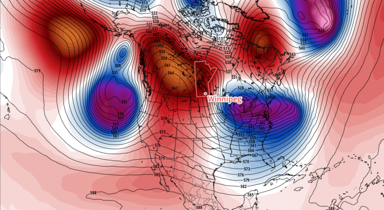
An upper-level ridge building into the Prairies will bring sunny skies and warm temperatures to Winnipeg this week.
Winnipeg will see benign weather over the next few days with plenty of sunshine and mild temperatures. Over the next several days, Winnipeg will see high temperatures in the -2 to 0°C range with winds in the 10 to 20 km/h range. Overnight lows will vary a bit more, ranging from near -8°C to -13°C.
With the mild temperatures and clear skies, there will also be the potential for fog development at night as moisture from the daytime melt is trapped near the surface with cooling temperatures. If you need to travel, particularly outside the City of Winnipeg, keep in mind you may encounter fog patches overnight into the morning on any of the next few days.
Long Range Outlook
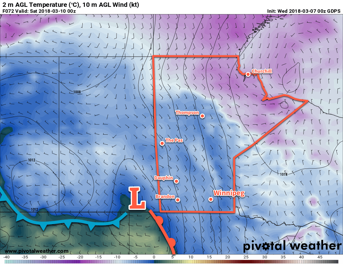
The remainder of the week also looks quite pleasant with highs continuing in the -1 to +2°C range. Skies will likely become mixed with cloud late in the week as Winnipeg gets closer to passing low pressure systems. Despite the cloud, the forecast shows dry conditions for the weekend.
The long-range forecast continues to show a good likelihood of near-seasonal temperatures with no significant precipitation events. Enjoy the beautiful spring weather!
Winnipeg’s seasonal daytime high is currently -2°C while the seasonal overnight low is -12°C.