A series of cold fronts will slump through Manitoba this week, gradually bringing colder weather into the region. Along with a chance of flurries, Winnipeg could see its first encounter with colder winter temperatures of the season by the coming weekend.
Tuesday will start with northwest winds near 20 km/h through the Red River Valley and increasing cloudiness as a cold front slump into the region. A chance of flurries will develop for the afternoon in Winnipeg, but no more than a centimetre or two (at most) is likely. Temperatures will climb to a high near -4 °C — a tad cooler than yesterday — and then dip to a low in the -15 to -20 °C range tonight as the clouds break up. The chance for flurries will extend into the evening before tapering off.
An area of high pressure will move through southern Manitoba on Wednesday, bringing partly cloudy skies and a high near -10 °C. Temperatures will dip back into the -15 to -20 °C range on Wednesday night with increasing cloudiness overnight.
On Thursday, a low pressure system crossing the province will drag milder air back into the Red River Valley. With cloudy skies, daytime highs will climb back into the -5 to -10 °C range along with southerly winds up to 30 gusting 50 km/h. Skies will stay mostly cloudy on Thursday night as a cold front slumps southwards; overnight lows will dip into the -10 to -15 °C range.
Long Range Outlook
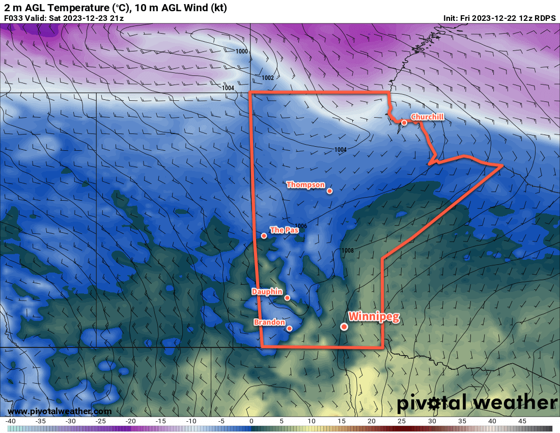
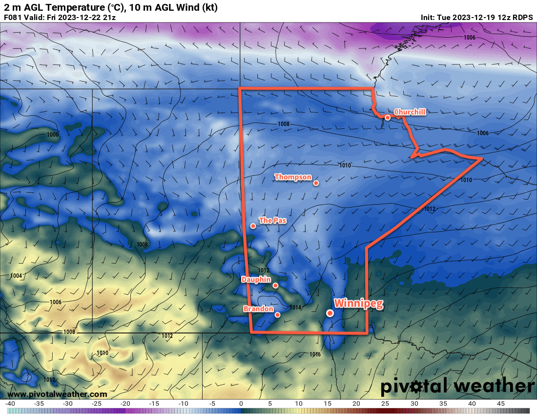
The first work week of 2024 will end with cloudier skies and a high again in the -5 to -10 °C range. That will mark the last of the seasonably mild weather, though, as a major pattern change ushers in a colder weather pattern.
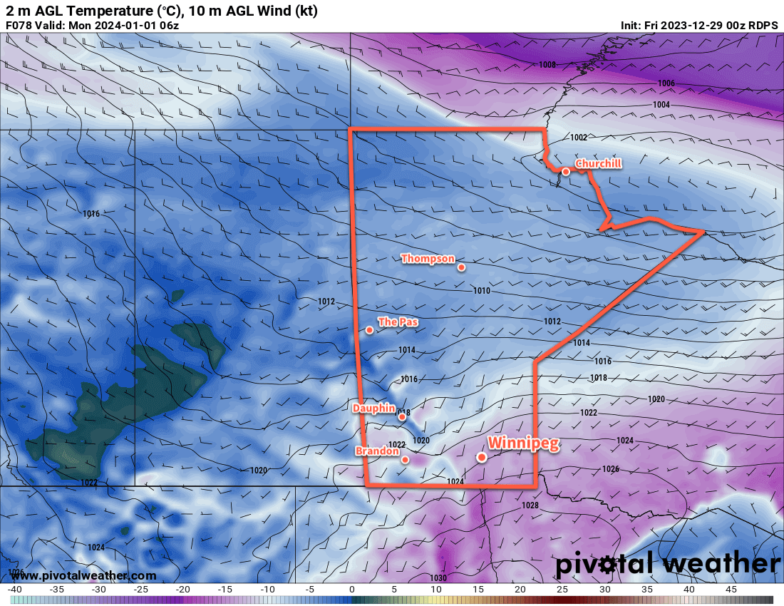
Heading into the weekend, multiple large-scale feature interactions will begin to draw the Polar Vortex westwards from the Baffin Island area. By early next week, it will sit over southern Nunavut, and is forecast to then drop into Manitoba through next week.
As this happens, significant amounts of cold air will begin to develop over the southern Arctic and northern Prairies. This will likely result in daytime highs in the mid-minus teens in much of southern Manitoba with temperatures dropping into the -30’s over northern Manitoba.
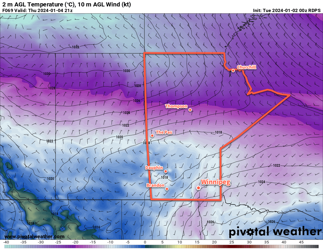
Heading into next week, the cold air will continue to build to the north, and likely surge southeastwards sometime mid- to late-week. This could bring daytime highs down into the -20s with overnight lows potentially dipping to -30 °C.
Of note, this entire transition is forecast to occur with little to no snowfall.
Enjoy the last of the milder weather; it looks like harsher winter temperatures will be here in the near future.
Today’s seasonal daytime high in Winnipeg is -13 °C while the seasonal overnight low is -23 °C.