Temperatures in Winnipeg will climb back above freezing heading into to the weekend before Christmas.
The weather this week will be marked by the depature of an upper trough over the eastern Arctic and the re-establishment of a zonal flow over the Prairies. This will allow a Pacific air mass to gradually scour the cooler air out of the region, sending daytime highs warmer.
Today, the region should see a sunny start with cloud cover gradually pushing into the region through the afternoon. Temperatures should climb to a high around -2 °C this afternoon. Skies will be on the cloudy side to night as a cold front drifts southwards into the region with a low close to -10 °C.
Wednesday will bring cloudier skies as southerly winds pick up to around 30 gusting 50 km/h. Temperatures will be similar to Tuesday; although warmer air is moving in aloft, the surface winds will be a return flow sourced from a departing area of high pressure. Skies will begin to clear out on Wednesday night with temperatures likely steady around -3 °C as a warm front lifts through the region.
The sun will reappear on Thursday as winds ease behind the warm front. Temperatures will climb close to the freezing mark in the afternoon, then drop just a few degrees on Thursday night. Friday will be, more or less, a repeat of Thursday with sunshine, highs near freezing, and light winds.
Long Range Outlook
Heading into the weekend, a deep southerly flow will send temperatures back above freezing as a low pressure complex devleops to the west. Temperatures will likley climb a few degrees above freezing on Saturday and then dip a bit below freezing as skies cloud over on Saturday night.
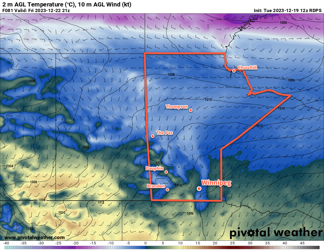
Christmas eve will likely bring cloudy skies and a high near freezing as a cold front slowly slides eastwards across the province.
For Christmas Day, Winnipeg should be on the back-side of the cold front. This will mean northerly winds and highs back down in the mid-minus single digits. The region could see some sun through the day as well.
That said, there’s no major cold outbreak on the horizon. Next week looks to stabilize in seasonably mild conditions heading into the last days of the month. No notable snowfall is expected in the next 5 to 10 days.
Today’s seasonal daytime high in Winnipeg is -11 °C while the seasonal overnight low is -21 °C.