Gradually Warming up in Winnipeg

Temperatures will gradually warm through the week in Winnipeg, bringing beautiful spring warmth to the region by week’s end.

RDPS 2m Temperature Forecast valid 21Z Thursday April 10, 2025
A building upper ridge will bring warm weather to western Canada this week, gradually pushing it east into southern Manitoba.

Sorry about the delay in posting; life has been busy and we’ll go with better late than never!

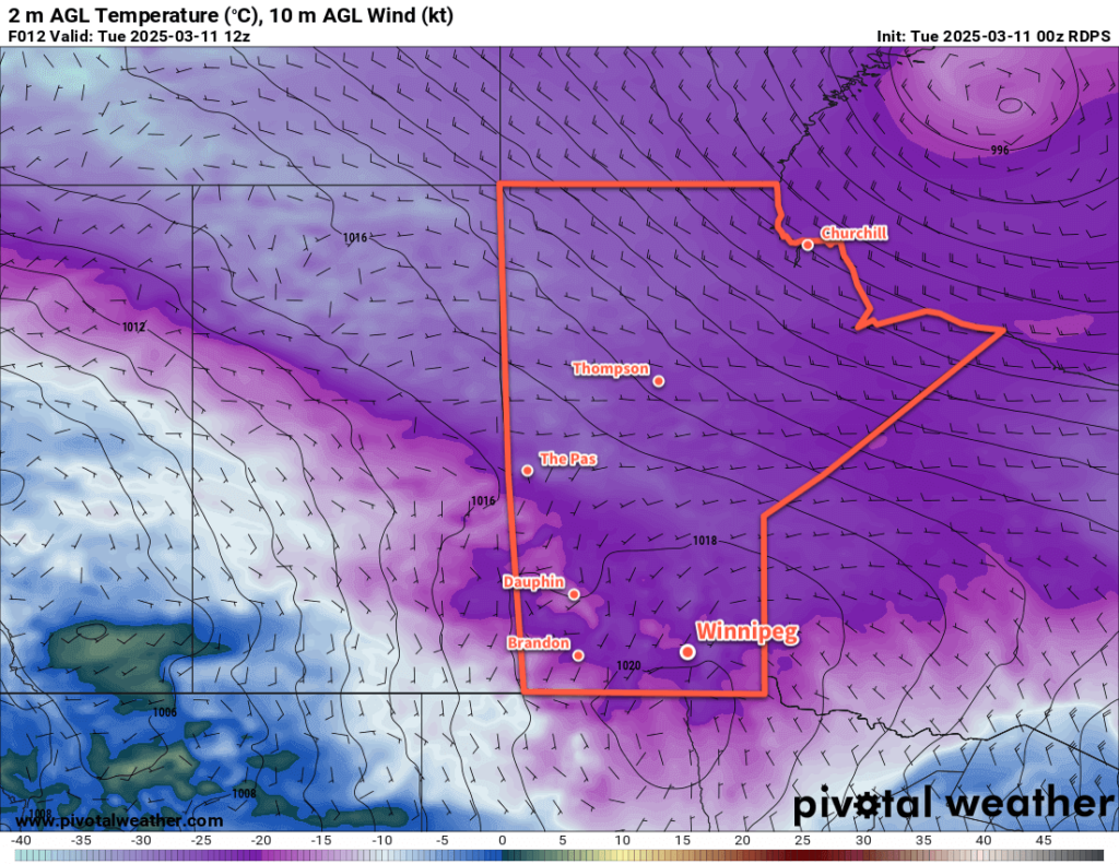
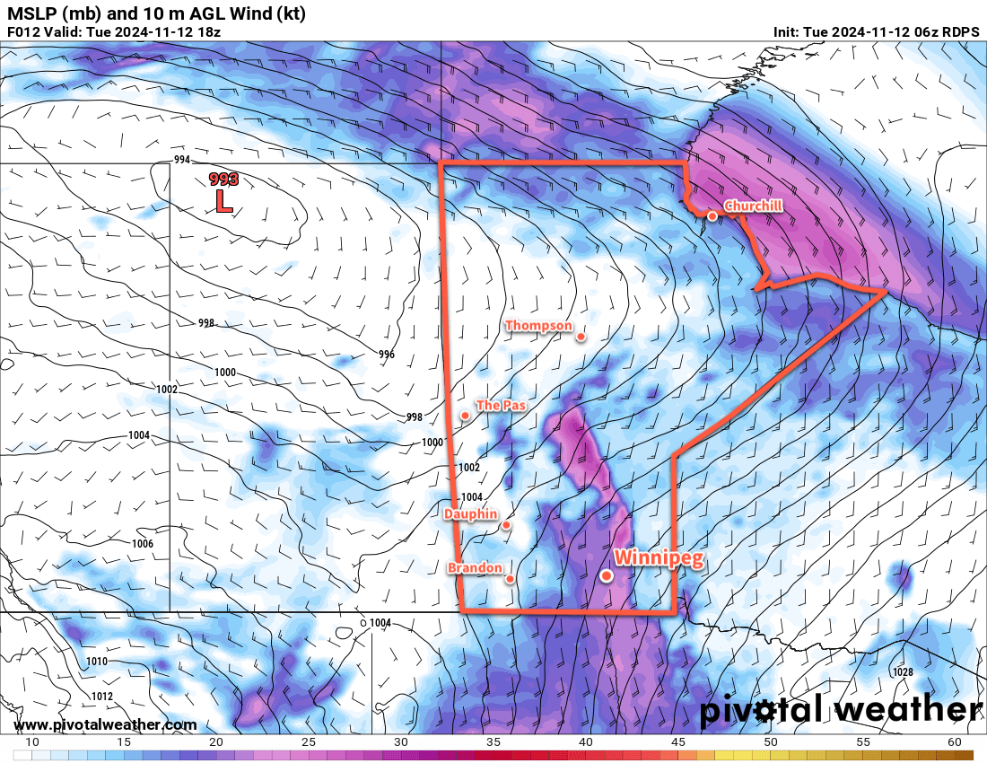
Looking ahead through the rest of the work week, the weather in Winnipeg will see a distinct warming trend as an upper ridge builds over western North America. Before that warmer weather gets to southern Manitoba, though, a weak disturbance will move through the region.

This disturbance will push cloud cover into the region overnight as temperatures dip down to a low near the freezing mark. Light snow is possible by Wednesday morning. Periods of light snow will likely transition to a few rain showers through the day on Wednesday as temperatures climb up to a high near 5 °C. Winds won’t be too much of an issue, climbing to around 20 km/h out of the southeast for the afternoon.

Skies will stay cloudy on Wednesday night as the winds taper off. Temperatures will head down to a low near the freezing mark.

On Thursday, a surface high pressure will build into the province as the upper ridge begins to amplify over western Canada. Cloudy skies will gradually break up through the day with clearing pushing into the region by the evening. Winds will stay light as temperatures climb to a high in the 5 to 10 °C range. Temperatures will dip down into the -5 to 0 °C range overnight under clear skies.

Long Range Outlook

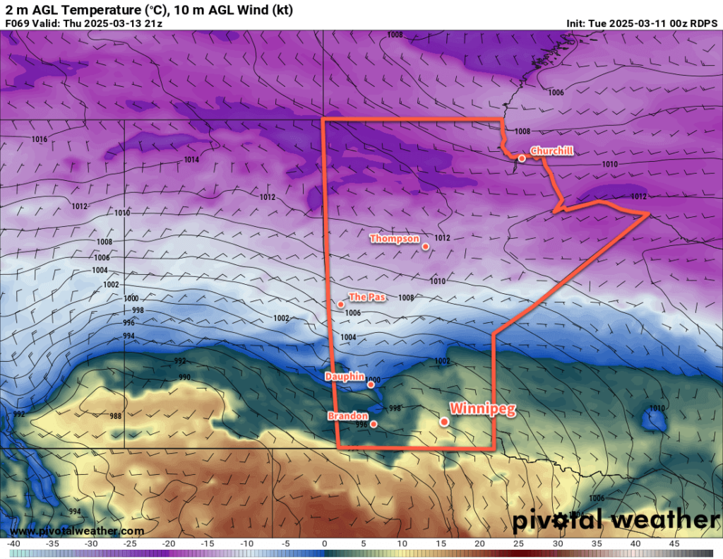
Friday will bring mixed skies to the region as temperatures climb into the mid-teens. The warmth will come with breezy southerlies up to around 40 km/h that gradually taper off on Friday night. Temperatures will likely dip down into the 5 to 10 °C range on Friday night.

There’s more uncertainty in the weather heading into the weekend. A potent low pressure system will develop in the United States push northeast, but it’s unclear if it will end up affecting southern Manitoba or track further east into NW Ontario. It has the potential to bring significant precipitation to the region, but there’s a wide range of solutions that change day by day.

It does look likely that Winnipeg should see a high in the teens again on Saturday, then cool into the single digits for Sunday. There may be rain or snow beginning on Sunday, but that will be dependent on the track of the system south of the border. We’ll keep track of this system’s development through the week and have more to say on Friday.

Until then, enjoy the warmth heading our way!

Today’s seasonal daytime high in Winnipeg is 8 °C while the seasonal overnight low is -3 °C.

Springtime Roller Coaster Sets up Over Southern Manitoba

Temperatures will be all over the place this week as a series of low pressure systems draw warmth north and drive cold air south.

RDPS 2m Temperature Forecast valid 12Z Tuesday March 11, 2025
An Arctic high will bring cold temperatures to southern Manitoba on Tuesday morning.

It’ll be a frigid start to the week with temperatures down into the -20s across southern Manitoba this morning. An Arctic air mass settled into the region overnight behind the cold front of the clipper system that brought a fresh coat of snow to the region yesterday. Fortunately, the cold won’t be here for long as the Arctic high responsible for it quickly shifts towards eastern Canada.

Temperatures will rebound back into the -10 to -5 °C range this afternoon with southerly winds picking up into the 20 to 30 km/h range. Much of the day should bring sunshine, but skies will cloud over in the evening. Another low pressure system will slump through the province into North Dakota tonight. It will keep temperatures from dropping much overnight and bring another dusting of snow to the region. The snow should begin sometime after supper and taper off overnight. Snowfall amounts by Wednesday morning should be less than a centimetre or two.

The weather for the rest of the work week will be defined by two features: an upper ridge building into the Prairies and a deepening upper trough on the west coast.

The building upper ridge will bring milder temperatures back to the region with daytime highs climbing to around the +5 °C mark on Wednesday. As a bonus, Wednesday should bring sunny skies with southwest winds in the 15 to 25 km/h range.

By Wednesday evening, a well-developed warm front will lie draped from the southwestern Prairies into North Dakota. A weak impulse will track along it on Wednesday night, bringing more cloud and light snow. There will be a risk of freezing rain overnight as warm air continues to stream north over the warm front through the night. At this point, it is not expected to be a widespread concern but we could see slippery areas on Thursday morning from overnight freezing rain.

Temperatures will dip down into the -5 to 0 °C range on Wednesday night with northeast winds picking up into the 20 to 30 km/h range.

RDPS 2m Temperature Forecast valid 21Z Thursday March 13, 2025
Thursday could bring warm weather to southern Manitoba.

Skies will clear out on Thursday as the deepening upper trough over the west coast begins to drive the development of a large low pressure system in the United States. The temperature forecast is tricky for the day as there are disagreements as to whether the warm front over the region will stay roughly in place or lift north. If winds stay northeast, daytime highs will likely reach a degree or two above 0 °C. If the region can switch to easterly or southeasterly winds, then much warmer weather is possible.

Long Range Outlook

Heading into the end of the week, the broad story is clear, but the details are impossible to discern at this point. As the upper trough begins to dig east towards the American Plains, a potent Colorado Low will develop and begin to lift northeast on Friday. A warm front will be driven northeast through southern Manitoba as warm air surges north. Daytime highs of 15 to 20 °C will be possible over northern Minnesota, but temperatures in the Red River Valley will likely reach the 5 to 10 °C range. As the warm air pushes north, cold air will dig in from the northwest; heading into western and southwestern Manitoba, daytime highs may not even break the freezing mark.

This system will spread multiple waves of precipitation north over a couple days, and almost anything could be possible: heavy rain showers, freezing rain, broad areas of rain, snow, and ice pellets. This system will bring strong northerly winds on its western flank with much colder weather digging into the region later on Saturday.

At this point, it looks like much of this system’s precipitation will track east of the Red River Valley but forecasting the track of Colorado Lows more than a few days out can be a futile effort. There is the chance that this system’s track could shift east and end up missing our region…or that its track shifts west and the Red River Valley experiences the brunt of this system.

Be prepared for the potential for a major storm this weekend with all sorts of wintery weather possible, and hope for the best!

Colder weather will settle into the region for Sunday as the temperature drops into the minus teens on Saturday night and rebounds towards the -10 to -5 °C range.

Warmer weather will build back in for next week with daytime highs climbing back above freezing.

Today’s seasonal daytime high in Winnipeg is -2 °C while the seasonal overnight low is -13 °C.

Mild and Slightly Unsettled

Seasonably mild conditions will continue in Winnipeg this week as a couple disturbances track through the region.

RDPS 2m Temperature Forecast valid 21Z Wednesday February 26, 2025
A weak disturbance will cross southern Manitoba on Wednesday afternoon.

Daytime highs in the 0 to +3 °C range will continue through the rest of the work week for the Winnipeg area. Upper ridging over the western Prairies will continue to allow mild Pacific air to push east across the region.

There will be plenty of cloud cover this week, a result of both the disturbances tracking through the region and the extensive snow melt taking place across the region.

Today will bring mainly cloudy skies to the region with southerly winds picking up to around 20 km/h. Temperatures should climb above freezing for the afternoon. A few clear breaks are possible this evening as temperatures head to a low near -3 °C overnight.

A disturbance will drop into southern Manitoba from the northwest through the day Wednesday. Under cloudy skies, temperatures will climb back above freezing, then temperatures will cool in the evening as light precipitation makes its way through the region. This could fall as either rain or snow, it will depend on how close to 0 °C the temperatures are by the time it begins.

The precipitation will change to flurries on Wednesday night and taper off early Thursday. Temperatures will dip to a low in the -10 to -5 °C range on Wednesday night.

Thursday will bring mixed to cloudy skies to the Winnipeg area with a high close to the freezing mark. A more organized disturbance will push a warm front into southern Manitoba on Thursday night, keeping temperatures within a few degrees of the freezing mark through the night. Breezy southerly winds will pick up overnight as the front approaches.

RDPS 2m Temperature Forecast valid 00Z Friday February 28, 2025
A stronger low pressure system will bring a wintery mix of precipitation to southern Manitoba on Friday.

Friday will bring light rain or snow to the region, but much of the precipitation will likely fall north and east of Winnipeg. It could even end up being a drier day in Winnipeg depending on how dry the air being pulled into this system from the south ends up being.

Temperatures will reach a high near 0°C on Friday with westerly winds near 40 gusting 60 km/h. Those winds will shift northwest later in the day as much of the precipitation moves off. This will bring cooler temperatures and a chance of flurries to the region.

The northwest winds will ease overnight as skies clear and temperatures drop into the -20 to -15 °C range behind the departing system.

Long Range Outlook

Looking further ahead, Saturday will bring cooler weather to the region, but temperatures should bounce back towards freezing on Sunday. The city should see sunshine this weekend, but conditions will trend cloudier into next week as the mild air sticks around.

Today’s seasonal daytime high in Winnipeg is -6 °C while the seasonal overnight low is -16 °C.

Mild Fall Stretches On

The mild fall conditions seen across southern Manitoba will continue into mid-November. There will be weather, though: after a blustery Tuesday, Winnipeg will see several chances for rain over the next week.

RDPS 10m Wind Forecast valid 18Z Tuesday November 12, 2024
Strong southerly winds will develop over the Red River Valley today.

Temperatures will stay well above seasonal values in Winnipeg this week as mild air continues to flood into the southern Prairies. While winter weather isn’t that far away — the farther reaches of northern Manitoba and southern Nunavut have seen temperatures near -20 °C or colder already this year — that cold air won’t be making its way south any time soon.

Rather, winds will stay more southerly and westerly over the coming week, bringing daytime highs 5 to 10 °C above seasonal values and keeping overnight lows equally mild.

Starting off with today, it will be a seasonably mild day but marked most notably by strong southerly winds. with the region squeezed between a high pressure system to the southeast and a low pressure system in northern Saskatchewan, southerly winds will strengthen into the 40 to 50 km/h range today with gusts as high as 70 km/h through the Red River Valley. Temperatures will climb to a high near 7 °C this afternoon as skies cloud over.

Cloudy skies will continue through the night as southerly winds gradually taper off into the 20 to 30 km/h range. The cloud and wind will keep things mild with lows dipping just below 5 °C.

On Wednesday, temperatures will rebound back into the upper single digits as a trough of low pressure moves through the region. That trough will bring a chance of some light midday rain showers that clear out of the region for the afternoon. Some sunny breaks are possible as skies likely clear out heading towards the evening. Those southerly winds will also ease in the morning, then switch to light northwesterlies behind the trough.

Temperatures will head to a low near freezing on Wednesday night with light winds and clear skies. Some fog patches could develop overnight and last into Thursday morning.

On Thursday, more cloud will develop over southern Manitoba as another low pushes into Saskatchewan. Temperatures will again climb into the upper single digits as winds shift back out of the south and strengthen into the 20 to 30 km/h range. The low in Saskatchewan will lift northeast through the day, lifting its warm front with it and bringing the Red River Valley into its warm sector. This should bring clearing skies on Thursday night with a low in 0 to 5 °C range and southerly winds of 15 to 20 km/h.

Long Range Outlook

On Friday, Winnipeg should see a beautiful mid-November day in the warm sector of the low tracking through the province. Daytime highs could be as high as +10 °C with sunny skies and a southerly breeze.

The warm weather will persist into the weekend, but another low moving into the area will bring cloudier skies with a good chance of rain on Saturday. Conditions will settle on Sunday with mild weather lasting right into Tuesday.

Tuesday/Wednesday next week will likely bring more rain to the region with temperatures likely beginning to cool off behind it. That said, there’s quite a bit of discrepancy in the guidance at this point; some keep it relatively mild, while others bring a sharp cold snap into the region.

Either way, there’s at least another week of pleasant, mild November weather ahead. Hope you can enjoy it!

Today’s seasonal daytime high in Winnipeg is -1 °C while the seasonal overnight low is -8 °C.