Winnipeg will see a few more days of unsettled conditions, but the weather will settle heading into the weekend as temperatures climb into the upper 20s.
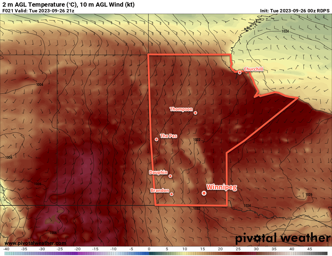
To start things off today, showers that moved in overnight will continue to track east out of the region. There may be a few sunny breaks this morning, but more cloud will spread into the region for midday. An upper low moving into the province this afternoon will destabilize things and bring a chance for a few showers or thundershowers. Temperatures will climb to a high in the low 20s with morning southerlies easing followed by moderate westerlies picking up to 40 gusting 60 km/h in the afternoon.
The cloud cover will break up tonight with temperatures dipping down to around 10 °C as winds ease. There may be a low chance for a few passing showers overnight.
On Wednesday, another low developing over the western Prairies will push a warm front across southern Manitoba. Temperatures will climb back into the low to mid-20s in Winnipeg and other areas along and south of the front, while cloudier and cooler temperatures stick around for areas north. Heading into the afternoon, though, this front will be the focus for showers and thunderstorms. This feature will bring higher levels of energy to the region to fuel thunderstorms; MLCAPE — mixed-layer CAPE, a measure of energy available for a thunderstorm to use — will climb to around 1,000 J/kg and be coupled with 40 to 50 knots of deep layer wind shear. These values will combine to bring a risk of isolated to scattered severe thunderstorms to southern Manitoba on Wednesday afternoon.
This activity will taper off heading into the night, though isolated showers could linger into the early morning hours of Thursday. Temperatures will dip down into the low teens.
On Thursday, an upper low will track across southern Manitoba. It will bring temperatures back down to the low 20s in Winnipeg along with mixed skies and a chance of showers. Skies will clear up on Thursday night with temperatures heading down into the low teens again.
Long Range Outlook
The weather will finally settle down on Friday with sunnier skies as an area of high pressure crosses the province. Warmer air will begin building into the region on Friday with daytime highs climbing back into the mid-20s.
A deep southerly flow will develop for the weekend, ushering more heat and moisture northwards. This will help push temperatures into the mid- to upper-20s with dew points rising into the mid-teens. While not anything that will feel overly humid or sticky, the humidity will be more noticeable than it has for most of the year so far.
Unfortunately, this push of warmer weather looks likely to bring more chances for showers and thunderstorms, with the potential for multiple waves of showers or thunderstorms to push across southern Manitoba.
Cooler, more settled conditions are likely to start next week.
Today’s seasonal daytime high in Winnipeg is 23 °C while the seasonal overnight low is 10 °C.