Becoming Cooler With Light Snow

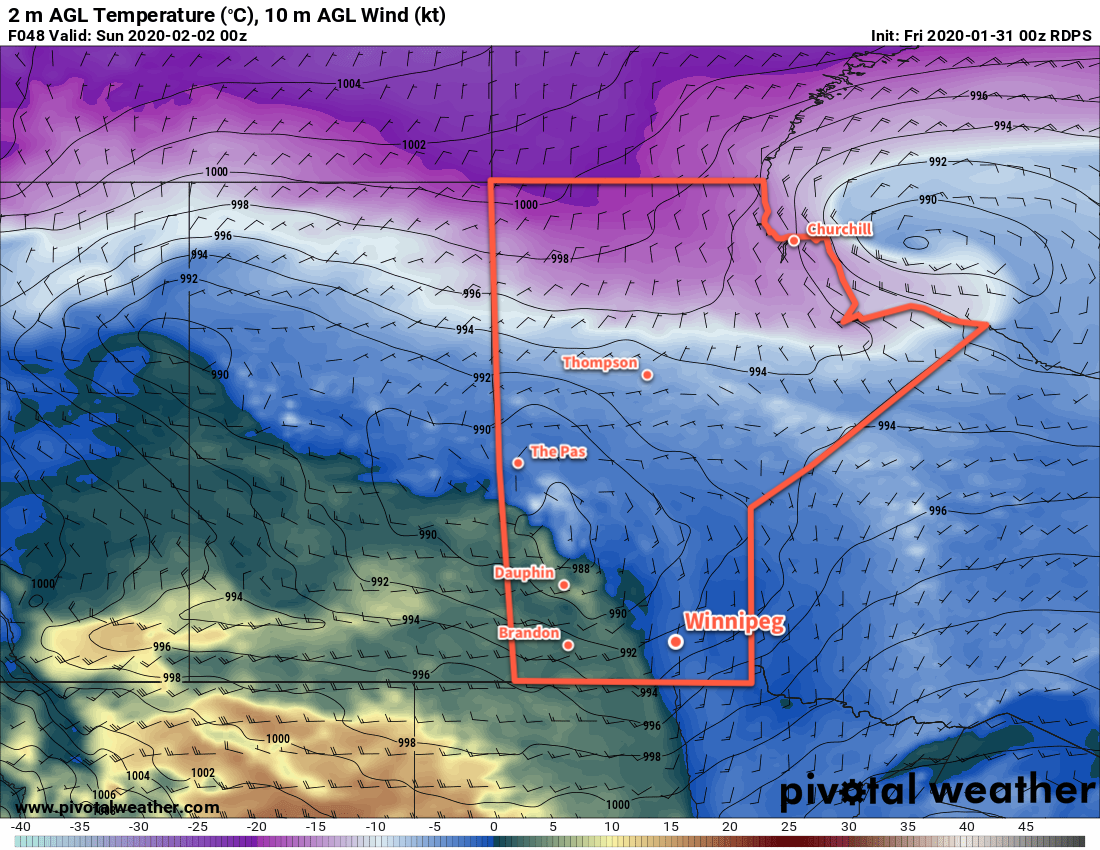
Winnipeg will see mild temperatures today give way to cooler temperatures and light snow as a cold front drifts southwards.

The city will enjoy a mild high near -6°C today as sunny skies slowly give way to increasing cloudiness in the afternoon. Winds won’t be too much of an issue either with morning southerlies of 20 to 30 km/h easing off through the morning. Temperatures will begin to fall as the cold front moves into the region this evening and skies fully cloud up. Winnipeg will see a low near -15°C with some light snow beginning overnight.

Thursday will bring cloudy skies to the city with flurries as temperatures recover only a couple degrees to a high near -13°C. Winds will persist out of the north in the 20 to 30 km/h range through the day. The snow will taper off sometime midday into the afternoon as drier air pushes in. It won’t pile up too much, but the city could see a couple centimetres by the time it ends. Heading into the evening, winds will ease as temperatures head to a low near -23°C.

RDPS 24hr. Accumulated Snowfall (10:1 SLR) valid 00Z Friday February 7, 2020
Much of southern Manitoba will see around 2 cm of snow with a cold front passage Wednesday night into Thursday.

A ridge of high pressure will slump through the Red River Valley on Friday, bringing gradually clearing skies and cool temperatures. Winnipeg will see a seasonably cool high near -15°C and light winds. Temperatures will dip to a low near -20°C and then warm as some cloud moves in with an approaching warm front.

Long Range Outlook

Winnipeg will see variable cloudiness this weekend with a chance of flurries on Saturday. Temperatures will hover around seasonal values, then see a brief warm-up on Monday. The rest of next week looks to bring the chance of occasional flurries as temperatures gradually cool.

Today’s seasonal daytime high in Winnipeg is -10°C while the seasonal overnight low is -21°C.

Warmer, Windy Weather Ahead

Winnipeg will see warm and windy weather this weekend with a chance of seeing the sun again!

A disturbance crossing Manitoba today will start bringing drier air into the province and help clear out some cloud. In the Red River Valley, southerly winds will pick up into the 20 to 30 km/h range this afternoon, but the clouds will linger. There will continue to be a chance for freezing drizzle or flurries as temperatures head to a high near -3°C. A trough moving through this evening will usher in westerly winds that will start to break up the cloud cover. Temperatures will dip to a low near -7°C as winds ease.

Saturday will mark the beginning of Winnipeg’s windy weekend as a warm front pushes into the region. Winds will pick up out of the south again to 30 gusting 50 km/h with more cloud than sun. Temperatures will climb towards 0°C through the day, then up above freezing in the evening as winds shift to the southwest. Skies will stay mixed overnight with temperatures dipping back below freezing for Sunday morning.

RDPS 2m Temperature Forecast valid 00Z Sunday February 2, 2020
A warm front will push across the Red River Valley on Saturday evening, ushering in above-freezing temperatures.

A cold front will slump southwards through the Red River Valley on Sunday, bringing more cloud into the region and strengthening west-northwest winds. The Red River Valley will see winds strengthen to 30 gusting 50 km/h except for the western escarpment region where gusts up to 60 km/h will be likely. The organized snow associated with this system will likely stay north of Winnipeg, crossing through the southern Interlake.

ECMWF 24hr. Accumulated Snowfall Forecast (10:1 SLR) valid 00Z Monday February 3, 2020
The organized snowfall with this system will cross through the southern Interlake, leaving Winnipeg with a chance of flurries as the cold front slumps southwards.

The city will likely see mixed skies through the day with a chance of flurries. There could be a chance of patchy freezing rain, but it’s too early to say with any certainty. Winds will gradually taper off on Sunday night as skies clear with temperatures dipping to a low near -13°C.

Long Range Outlook

Temperatures return towards seasonal values to start next week as a ridge of high pressure builds into the region. The city will finally see some sunshine through the first half of the week with little cloud or snow expected. More cloud is forecast to move in through the second half of the week as warmer temperatures return.

Today’s seasonal daytime high in Winnipeg is -11°C while the seasonal overnight low is -21°C.

Cloudy, Seasonably Mild Conditions Continue

Cloudy and seasonably mild conditions continue in Winnipeg this week.

Little change in the weather lies ahead for Winnipeg as the upper air pattern stays stagnant. Broad upper ridging is bringing seasonably mild conditions to the region, but has also trapped a huge area of low cloud over the eastern Prairies. As a result, the weather will be surprisingly consistent over the coming days.

Winnipeg will see daytime highs in the -6 to -8°C range over the next few days with overnight lows dipping down into the minus teens. Winds will stay light through the next several days. With all the cloud stuck in the region, some flurries will be possible, particularly in the evening and overnight hours when the temperatures dip a bit.

Long Range Outlook

More of the same is on tap for Thursday, but by Friday the pattern begins to change and the region will transition into a more unsettled pattern. The region will still be dealing with plenty of cloud, but a bit of sun will be possible heading into the weekend. With several disturbances expected to track through the region Friday through Tuesday, there’s also a good chance of seeing some accumulating snow. Right now, the best chances for snow look to be Thursday night, Friday night, and Sunday night into Monday.

Cooler weather is forecast to push back into the region next week.

Today’s seasonal daytime high in Winnipeg is -12°C while the seasonal overnight low is -23°C.

Mild Friday Followed by Winter Storm With Snow, Blowing Snow

A developing winter storm system will bring mild temperatures today followed by snow, blowing snow, and colder temperatures on Saturday.

Winnipeg will see mostly cloudy conditions today as temperatures climb to a seasonably warm -8°C. The warmer weather is moving into the region ahead of a potent low pressure system set to track across the Northern Plains later today. Much of the day will bring winds out of the southeast near 30 gusting 50 km/h, but they will diminish through the afternoon as a trough of low pressure moves into the Red River Valley.

Light snow will move into the region in the afternoon, then intensify through the evening and persist overnight. The wind will pick back up out of the northwest overnight to 30 gusting 50 km/h, combining with the snow to produce areas of reduced visibility in blowing snow. Winnipeg will see close to 10 cm of snow by Saturday morning with higher amounts expected to the southeast.

NAM 1km Reflectivity with Precipitation Type Forecast valid 03Z Saturday January 18, 2020
Moderate to heavy snow will develop over southern Manitoba on Friday evening.

Winnipeg will see temperatures remain steady near -17°C on Saturday with light snow continuing through much of the day. The wind will strengthen even more to 40 gusting 60 km/h, producing widespread blowing snow through the Red River Valley. Localized blizzard conditions may even develop, particularly through the western Red River Valley. The region will see about 2 cm of additional snow through the day. Winds will ease slightly to 30 gusting 50 km/h on Saturday night, bringing some improvement to the blowing snow across the region. Temperatures will dip to a low near -20°C on Saturday night.

RDPS 10m Wind Speed Forecast valid 15Z Saturday January 18, 2020
Moderate to strong northwest winds will be in place over southern Manitoba on Saturday.

Everything will move out of the region on Sunday with diminishing winds and clearing skies. Temperatures will climb to a high near -16°C. Winds will shift to the west through the day as an Arctic high passes by to the southwest. Skies should be clear on Sunday night with a low near -26°C.

Long Range Outlook

For those tired of the cold, the long-range forecast is looking pretty good. Cooler weather will stick around for Monday, but then a large-scale pattern shift will allow milder Pacific air to spread across the Prairies. Much of next week should see daytime highs in the -5 to -10°C range with overnight lows dipping into the minus teens. No major snow events are in the forecast. So if you’re cold adverse, just make it through one more cold snap and you’ll have plenty to look forward to!

Today’s seasonal daytime high in Winnipeg is -13°C while the seasonal overnight low is -24°C.