In a stark contrast to the past weekend, a ridge of high pressure will keep temperatures seasonably cool much of this week. A passing low pressure system will bring milder temperatures on Wednesday followed by a chance of rain on Thursday.
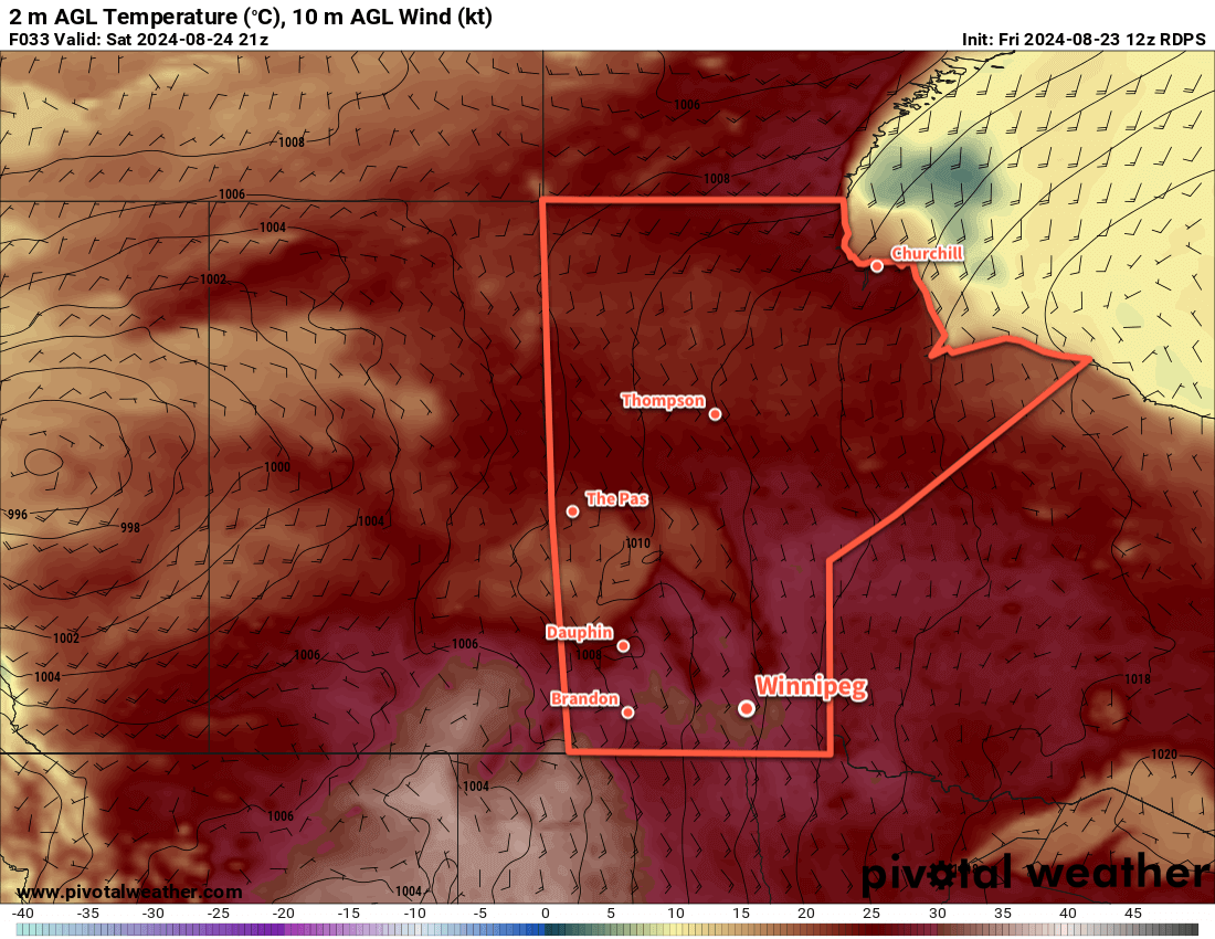
An Arctic high trundling east across northern Manitoba will keep temperatures cool and the humidity dry today. A disturbance rolling across North Dakota towards Lake of the Woods will bring cloudy skies into the region later this morning. Combined with a light northeast wind, daytime highs will be cool at around 20 °C in the Red River Valley.
Skies will clear this evening as the disturbance heads off into Ontario. The Arctic high will trundle towards James Bay, shifting the light winds in the Red River Valley southerly. Temperatures will dip down to a low near 10 °C.
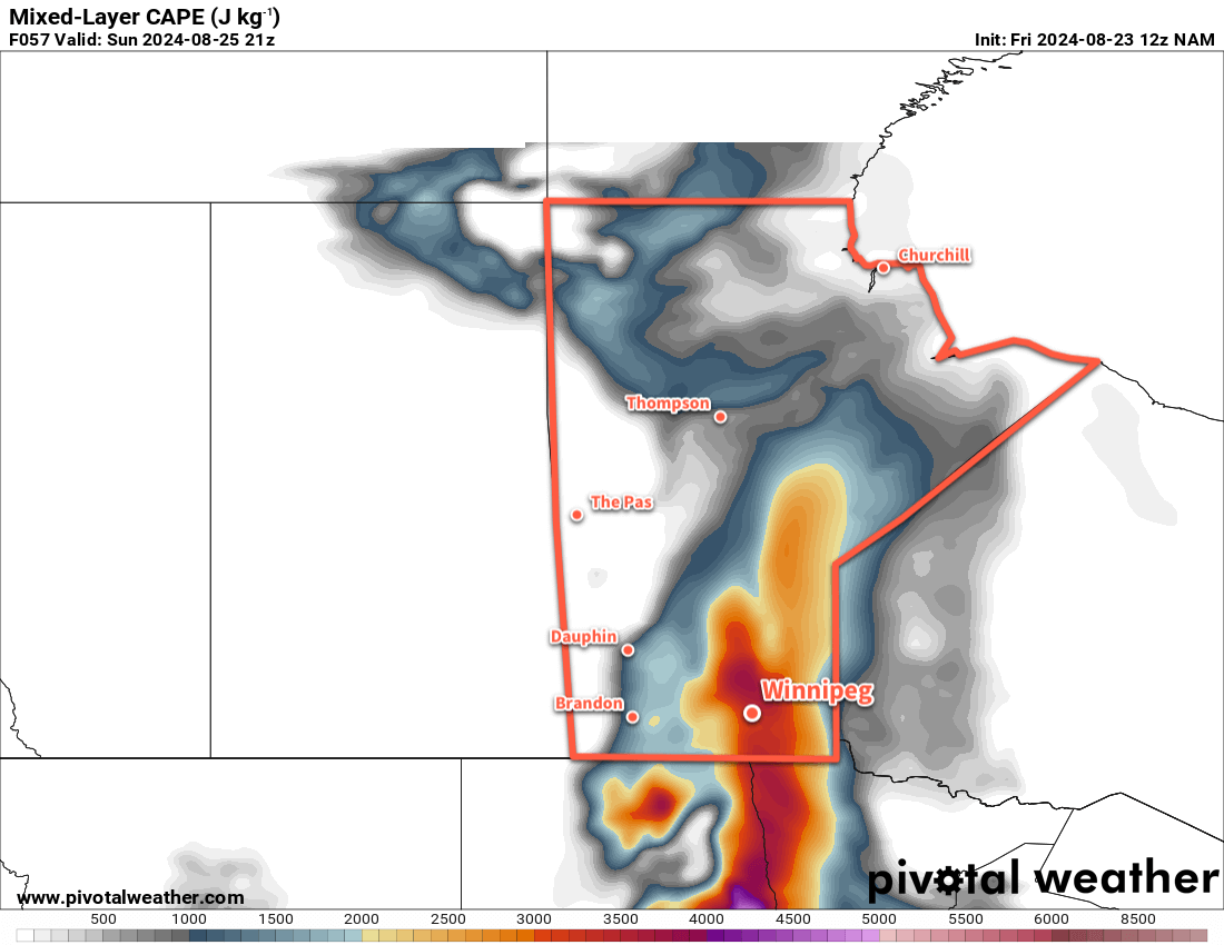
On Wednesday, the next weather system to impact the region will begin taking shape. A vigorous upper-level disturbance will move from the British Columbia interior into today to southern Alberta by Wednesday. As this tracks east, it will pump much warmer air back into Saskatchewan as a low pressure system develops over the central Prairies. By Wednesday morning, a low will sit over central Saskatchewan with a warm front that drops southeast across southern Manitoba and a cold front southwards towards the Montana/North Dakota border.
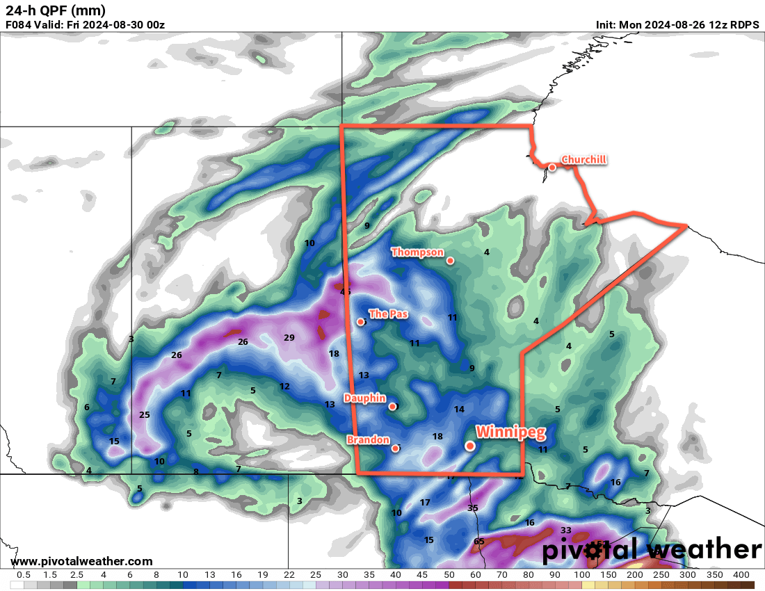
This system will bring southerly winds to Winnipeg on Wednesday up to around 30 gusting 50 km/h. Temperatures will be warmer with highs in the mid-20s under mainly sunny skies. In the evening, a low-level jet — a corridor of fast-moving air about 1.5 to 3 km above the ground —will develop with wind speeds around 60 km/h (30–35 knots). These will help develop and sustain a band of showers and thunderstorms through the night that extend from North Dakota northwest to central Saskatchewan. For areas in southern Manitoba, there will be a low risk of a severe thunderstorm on Wednesday night with large hail and wind gusts the main hazards.
Temperatures will dip to a low in the mid- to upper-teens on Wednesday night with moderate southeast winds continuing.
The band of [thunder]showers will reach Winnipeg either late overnight or early Thursday morning, then sunny breaks will develop after they pass as winds shift westerly. Temperatures will climb back up to the low 20s with mixed skies and a chance of more showers in the afternoon.
Temperatures will head to a low in the mid-teens on Thursday night with partly cloudy skies and west-northwest winds of 20 to 30 km/h.
Long Range Outlook
Settled conditions will redevelop for the end of the week and into the weekend as the mid-week disturbance heads off. A ridge of high pressure will build in from the west and bring settling conditions and sunnier skies.
Daytime highs should sit in the 20 to 25 °C range through the weekend with overnight lows slumping from the mid-teens to around 10 °C.
It’s a pretty pleasant forecast, and will be a nice recovery from the intense heat and humidity the region experienced over the weekend. I hope families with kids can get out there and enjoy the final days of summer before school kicks off again!
Today’s seasonal daytime high in Winnipeg is 24 °C while the seasonal overnight low is 10 °C.