The weather has been very warm so far this July and there is no sign of this pattern changing any time soon. The dog days of summer are in full swing.
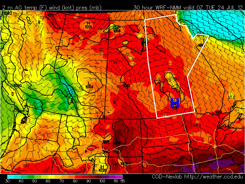
Temperatures on Monday will remain warm, but will be fairly comfortable. High temperatures in Southern Manitoba will generally be in the upper twenties with low humidity. Tuesday should be a bit warmer than Monday, with highs near thirty degrees, but once again humidity levels will remain relatively low. By Wednesday the humidity will rise ahead of an approaching trough of low pressure. At this time it appears that there may be a risk of severe storms on Wednesday afternoon and evening in the Red River Valley and South-Eastern Manitoba as this trough runs into a hot and humid airmass. However, the timing of the front is still a bit uncertain, and the speed at which is moves will determine which areas are at risk for storms on Wedensday.
At this point you can probably predict what next weekend has in store…yes you guessed it, more hot weather. It looks like we may be lucky enough to get one cooler day on Thursday, with high temperatures close to normal (i.e. in the mid twenties) before we heat up again for the last weekend of July.