This week will start out with the warmest weather we’ve seen so far this year.
Monday and Tuesday
Mainly Sunny
22°C / 7°C
Mainly Sunny
23°C / 5°C
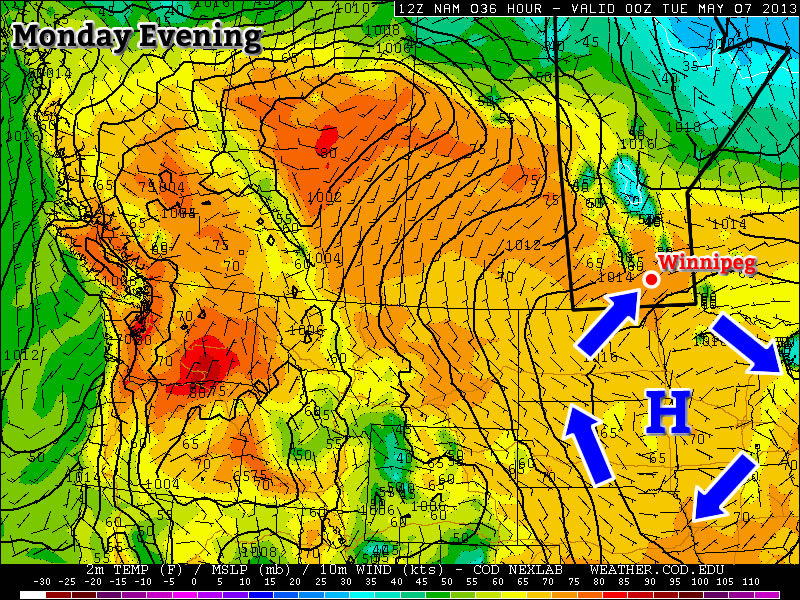
Monday and Tuesday will be two very nice and very similar days. Both days will feature high temperatures in the low to mid twenties in Southern Manitoba with sunny skies. The wind will be from the south-west on both days and may become a bit breezy in the late morning and afternoon hours. Other than that there isn’t much negative to say about the start of the week…except that our first twenty degree weather of the year won’t fall on a weekend!
Wednesday
Mainly cloudy. Chance of showers.
12°C / 3°C
A cold front will move through Southern Manitoba on Tuesday night, setting up cooler conditions for Wednesday. This will be a fairly strong front, but the lack of moisture ahead of it will mean little if any rainfall is expected as it passes. Temperatures on Wednesday are expected to be in the low teens with a strong north wind.
Long Range
The rest of this week looks to remain on the cooler side, with temperatures remaining in the teens on Thursday and Friday. By Friday conditions may rebound back close to seasonal values, but unfortunately models show an arctic high pressure system dropping south into our area just in time for next weekend.