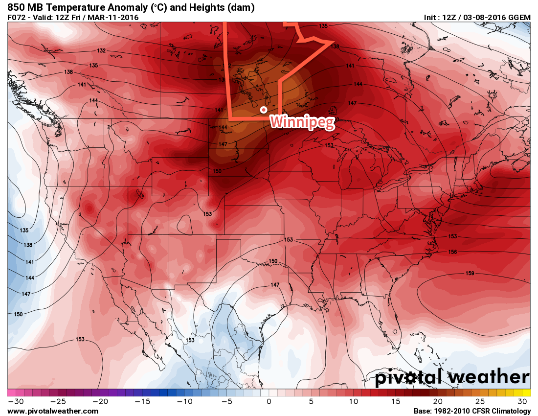
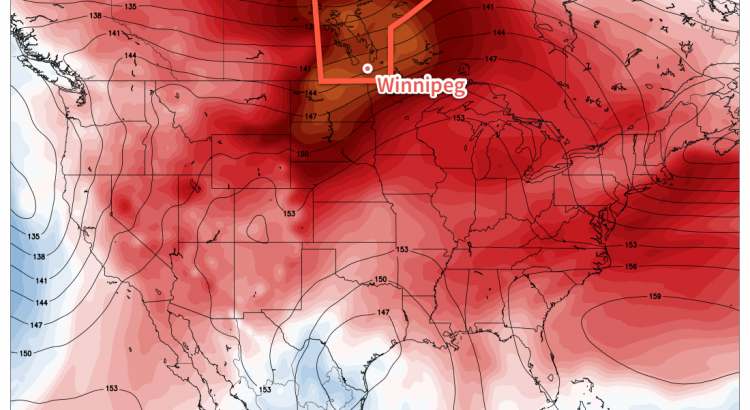
Temperatures will be cooler behind yesterday’s Colorado Low that grazed the southeastern portion of the province, however the mercury won’t be dipping much. Today will be the coolest day of the week and yet temperatures will still remain above seasonal for mid-March. The cooler weather will be short-lived before another surge of warm air that will bring spring weather to the Red River Valley, potentially threatening record high and record warm minimum temperatures!
Today will be a relatively cool day with the temperature climbing to the freezing mark with a light south-southeasterly wind. Skies will be mixed through the day with a bit of sun and a few cloudy periods, particularly mid-day into the afternoon. Much of the cloud will clear out tonight as temperatures dip to near -6°C.
After today, though, the heat starts moving eastwards and temperatures will soar to 10-15°C above normal for mid-March. Thursday will bring partly cloudy skies[1] and daytime highs climbing towards the 6°C mark with light southerly winds continuing. If temperatures manage to eke just a degree or so higher, there will be a chance of breaking Winnipeg’s record high temperature for March 20th.
| Day | Record High | Record Warm Minimum |
|---|---|---|
| Thursday March 10 | 6.7°C (1902) | 0.6 (1878) |
| Friday March 11 | 12.8°C (2012) | 2.8°C (1878) |
The mercury will dip to around 3°C on Thursday night with southerly winds strengthening to around 30km/h. This mild overnight low will set Winnipeg up for another potentially record-breaking day on Friday, where partly cloudy skies will give way to temperatures climbing into the low teens. The daytime high on Friday will likely sit near 11°C, however throughout the entire city the temperature could easily be in the 10-15°C range. The airport is typically on the cooler side, so it will be a bit of a nail-biter as to whether we break the record high of 12.8°C set in 2012.

Depending on how fast things cool off in the evening, we may also see the record warm minimum temperature for March 11 be broken as well. The record is currently 2.8°C set in 1878, which will require a temperature warmer than that through Thursday night and a temperature remaining warmer than than until midnight on Friday night.
In addition to the warmth, of note particularly for Friday is the potential for unseasonably high dewpoint values. While the GDPS is fairly conservative with dewpoints remaining near the 1°C mark, several other models are showing dewpoint values rising into the upper single digits. There are two main stories if the elevated dewpoints do indeed show up:
- We could break the record high dewpoint in Winnipeg for March 11, which currently sits at 6.0°C set in 2012.
- There would be huge amounts of snow melt. The process of snow melt is limited when dewpoint values remain below 0°C for a variety of thermodynamic reasons. As the dewpoint climbs above 0°C, melting becomes significantly more efficient. By the time the dewpoint climbs to even +4 or +5°C, snow melt can be enormous if combined with mild temperatures. If these elevated dewpoints arrived for Friday with a high in the low teens, then almost certainly a dramatic portion of the remaining snow pack in the Red River Valley would be gone by this time next week.
Long Range: Warm, Warm, Warm!
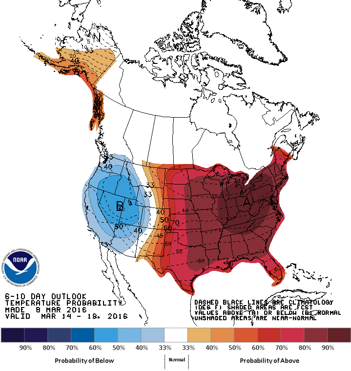
The long-range forecast looks quite simple: continued warmth.

Long-range forecasts show a high likelihood of the mild weather continuing well into next week. This will mean that daytime highs in the 5-10°C range, if not even warmer, will be commonplace through the next week.
This warmth, combined with little-to-no expected precipitation through the period, will continue to rapidly erode the snow pack over the Red River Valley, further enabling milder temperatures to develop. Spring-like weather has arrived!
Winnipeg’s seasonal daytime high is currently -3°C while the seasonal overnight low is -13°C.
- There’s a slight risk of seeing cooler temperatures and more cloud if a system tracking through the Prairies slumps a bit further south, but at this point it looks like much of the cloud will remain to our north. ↩

