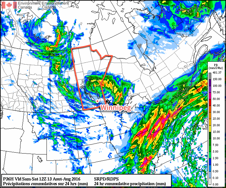
Cooler weather and scattered showers will settle into the Red River Valley today behind the low pressure system that brought multiple rounds of thunderstorm activity to Southern Manitoba over the past several days. The cool weather will give way to more seasonal warmth by the end of the weekend, but with the return of warmer weather will come another chance for thunderstorms in the first half of next week.
The weather in Winnipeg over the coming two days will be created by an upper-level low pressure system stalled out over east-central Manitoba. Both today and tomorrow will see fairly cloudy skies, likely mixed to mainly cloudy, alongside the chance for scattered showers. Today will present a better chance for showers than tomorrow, but even then the activity will likely be fairly light and scattered. Winds will be out of the west to northwest at around 20-30 km/h during the days and lighter at night. Daytime highs will be below-seasonal at just 21 or 22°C, however the overnight lows will be right on the mark for this time of year at 12 or 13°C.
Sunday will be a comparatively pleasant day with mainly sunny skies, although the beginning and end of the day may be bookended by some clouds. Daytime highs in Winnipeg & the Red River Valley will be fairly warm at 26 or 27°C. With warmer air in place, the overnight low on Sunday night will also be milder at around 14 or 15°C.
Long Range
Early next week is looking mild, but the weather trend of 2016 continues with another chance for showers and thunderstorms returning sometime late Monday into Tuesday. At this point, it appears that this will appear as a round of thunderstorms on Monday night, but it’s still quite early and the timing of the system could easily change.
The long-term pattern continues to show an unsettled pattern with a couple days of showers and instability followed by a few days of drier weather. There are hints of attempts to produce more prolonged periods of dry weather in 1-3 weeks from now, but models seem to be struggling to establish the ridging required. So at this point, it looks like more of the same for the coming weeks, which is not likely the news that many farmers wish to hear heading towards harvest.
Winnipeg’s seasonal daytime high is currently 25°C while the seasonal overnight low is 12°C.