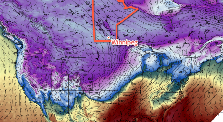
The coldest temperatures of the winter are on their way to southern Manitoba as a reinforcing blast of Arctic air descends from the north. The cold snap will persist into the start of next week, but milder air is expected to arrive by Tuesday or Wednesday.
The next few days will be very quiet weather-wise other than the fact that bone-chilling cold is moving into the province. Winds for the next few days will be between 10-20 km/h out of the northwest slowly backing to southerlies by Sunday. Skies will be mainly sunny through the weekend.

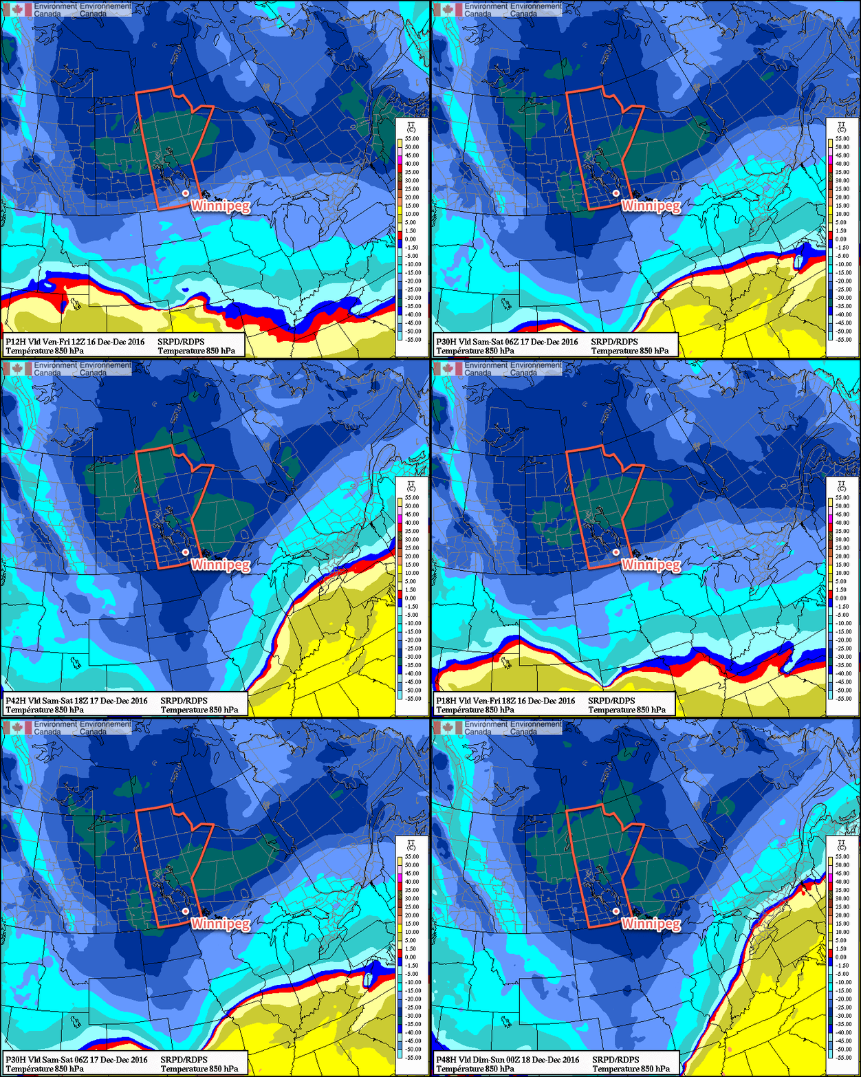
The big story is the cold, shown above with the 850mb1 temperatures. The potency of this Arctic outbreak is highlighted by temperatures at this height reaching -30°C, a sign of a truly cold air mass.
This will result in temperatures dropping from a high near -21°C today to a low just below the -30°C mark. Temperatures will struggle to recover to the mid-minus 20's on Saturday before dipping to a low near -32°C on Saturday night. Sunday will see warmer air aloft working into the region, allowing temperatures to moderate towards around -22°C by late in the afternoon. Some cloud cover will begin working in through the afternoon and cloudy skies on Sunday night will bring the chance for some light snow with temperatures hovering around -23°C.
Wind Chill
Wind chill values will be a concern this weekend, likely reaching Environment Canada's warning criteria of -40. Winds slightly over 10 km/h both Friday and Saturday night will combine with low temperatures dipping below -30°C to produce wind chill values in the -39 to -44 range. Wind chills of this severity can result in frost bite on exposed skin in 5-10 minutes, so be sure to take precautions and layer well if you need to be outside at night.
As an aside, it's worth reminding people that wind chill is not a temperature. Wind chill describes what the temperature would have to be with no wind to lose body heat at the same rate as the actual temperature with wind. So wind chill of -40 produced by a night with temperatures of -29°C and a 15 km/h wind describes that the rate of heat loss in the actual conditions is the same as if it was -40°C outside with no wind.
Wind chill has numerous problems, but does serve as an imperfect method of communicating a very real thing.
But just keep in mind that it is not a temperature, but an expression of a rate of heat loss.
If you want to know more about wind chill, visit our article "The Problem With Wind Chill"
Long Range
Early next week will bring milder air back to the region. By mid-week, highs should be back into the -10°C to -5°C range. Before that warm air arrives, though, it's quite possible we'll see quite unpleasant conditions with moderate southerly winds making it feel much colder than the temperature would imply. That said, there's high confidence that the warm air will get here by mid-week, so if you can make it through this cold snap, more pleasant conditions await on the other side.
Winnipeg’s seasonal daytime high is currently -10°C while the seasonal overnight low is -20°C.
- This height is approximately 1.5km above sea level. ↩

