The weather will continue to be fairly unremarkable in Winnipeg through the weekend as a fair amount of cloud and above-normal temperatures continue.
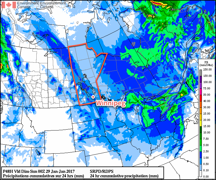
More of what’s been in place much of the week is on the way for Winnipeg this weekend. Today will bring highs near -2°C with skies becoming cloudy in the afternoon. Temperatures will dip back down to around -8°C tonight and bounce back to a high of -3°C on Saturday, all while under cloudy skies with a chance of flurries. Sunday will bring mixed to cloudy skies with a continued chance of a scattered light flurry or two as temperatures climb to a high near -6°C. More cloud will move in on Sunday night with temperatures climbing to around -4°C by Monday morning.
Winds will be breezy out of the northwest today at around 30 km/h. They will ease off tonight, and then we’ll see variable winds through the weekend of around 10-20 km/h.
Long Range
Monday has the potential to bring the next organized snowfall to the city as a low pressure system pushes across the region. There’s a lot of uncertainty as to how far south this system will go, but in general it appears that 4-8 cm of snow seems likely for Winnipeg with gusty northwesterly winds in the wake of the system.
After this system, it looks like Southern Manitoba will move into a pattern shift towards seasonal to slightly below-seasonal temperatures.
Winnipeg’s seasonal daytime high is currently -12°C while the seasonal overnight low is -22°C.