Above-seasonal temperatures return to Winnipeg for the weekend at the cost of sunshine with mostly cloudy skies on the way. The prolonged period of cloudy skies will be supported by a convoy of low pressure systems over the next few days that will bring multiple bouts of light snow to the region.
Mild air is rebounding eastwards across the Prairies, however Winnipeg and the Red River Valley won’t quite get into the warm sector, remaining just to its east and under the storm track. While no major systems are on the horizon, Winnipeg will still see plenty of cloud and bouts of non-accumulating light snow.
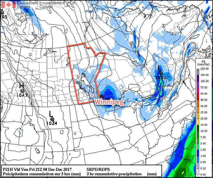
The first system sliding southeastwards along the storm track will swing through early this morning, sweeping a cold front through the region and ushering in breezy northerly winds of 30 to 40 km/h. The cooler air won’t affect daytime highs too much; Winnipeg should still see temperatures climb to around -4°C midday. Slightly cooler air will push into the region through the afternoon, likely dropping the temperature to around -6°C or so by evening. The passage of the front and slightly cooler air moving in will combine to produce some light snow across the Red River Valley, but we don’t expect it to have much of an impact. No accumulation is expected from it, nor will it adversely impact travel conditions. Heading into Friday night, the Red River Valley will see some clearing, allowing temperatures to plummet in the cold air mass down to a low near -18°C.
Temperatures will rebound fairly quickly on Saturday morning as more cloud cover moves into the region as a warm front pushes eastwards into southern Manitoba. Temperatures will climb back up to a high near -4°C once again under cloudy skies. Winds will pick up out of the south to around 20 km/h in the afternoon, but diminish to 10 to 15 km/h fairly early in the evening. Once again, some non-accumulating light snow is likely in the afternoon as a weak low pressure system slides through the region. Skies will remain mainly cloudy overnight with temperatures remaining steady near -5°C.
On Sunday, Winnipeg will find itself under a stalled frontal boundary under a northwest flow aloft. It looks likely that the city will remain on the warmer side of the front, with cooler air to the northeast and warmer air to the southwest. Winnipeg should see a high near -3°C, but the far southwestern Red River Valley may reach as high as 0°C, while areas colder to the south basin of Lake Winnipeg see highs near -5 or -6°C. A couple very weak disturbances will slide southeastwards over the stalled front through the day, bringing another chance for some non-accumulating light snow through the day.
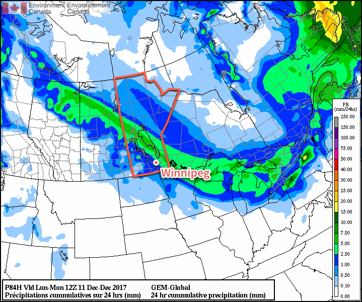
By late Sunday afternoon into the evening, a more organized low is expected to move into the region, bringing 2 to 4 cm of snow through the evening with temperatures slowly dipping to a low near -11°C.
Long Range Outlook
Next week will begin with a surge of colder air moving into southern Manitoba, but a return to well above-normal temperatures will push back into the region for Wednesday, bringing some light snow with it. The temperature roller coaster looks poised to continue, with colder temperatures then pushing back into the region for the end of the week into the weekend.
Winnipeg’s seasonal daytime high is currently -9°C while the seasonal overnight low is -18°C.