Winnipeg will see variable cloudiness over the coming days with temperatures inching ever so slowly back towards warmer, more seasonal values.
Today will bring increasing cloudiness to Winnipeg as a weak warm front drops southwards through the province.1 Temperatures will climb a fair amount from today’s chilly start to a high near -6°C. The northwesterly wind will be unpleasant, though, strengthening even further to 40 gusting 60 km/h. This moderate wind will create wind chill values near -25 to -30 this morning and -15 to -20 this afternoon.2 There may be a slight chance of some light flurries, but they would be unremarkable if they happen. The wind will taper off quickly this evening as skies clear and temperatures drop to a low near -17°C.
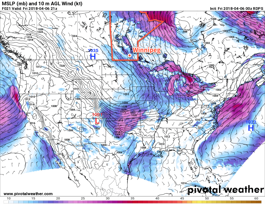
A ridge of high pressure will move over the province for Saturday and bring mainly sunny skies and light winds. Temperatures will climb to a high near -4°C, then drop down to a low near -13°C as cloud cover begins to move in on Saturday night.
Sunday will bring more cloud to the region, largely spreading across southern Manitoba from a low pressure system tracking across the Dakotas. Conditions look dry and winds will be relatively light out of the northeast. Temperatures will inch a bit warmer yet again with a high temperature around -2°C. Sunday night will bring gradual clearing to Winnipeg and the Red River Valley with temperatures falling to around -13°C.
Long Range Outlook
Next week is looking like a bit of a mixed bag. Temperatures will continue to climb towards seasonal, but the trend is still looking like slightly below-normal temperatures. Perhaps there’s some solace that daytime highs should climb above 0°C for the week. Heading into the end of the work week, the chance for precipitation ramps up with most models suggesting some rain or snow on Friday into Friday night.
Winnipeg’s seasonal daytime high is currently 7°C while the seasonal overnight low is -4°C.
This is one frustrating weather pattern! Any theories on why it’s sticking around so long? I can’t remember the last warm “spell” that lasted longer than a couple of days, while cold snaps seem to hang around forever; and I’m wondering if this is attributable to climate change! I suppose it probably is!
Now I’m hearing that we’ll have these bone-chilling temperatures and crusty snow until the end of the month, and single-digit highs at best through May! This seems unusual to me, even unlikely, and because I consider you guys a lot more level-headed in your forecasting than, say, Sauder, I thought I’d see what you thought of that!
Thanks for the comment. The cold is definitely starting to get a bit tiresome, and you’re right, warm spells have been short lived this spring. No single events can be attributed to climate change; it’s sort of like a hockey season. No individual game can be used to determine the overall trend a team will take (although many will be quick to let you know when a team is “doomed” because of an off night); rather, it’s the accumulation of performances over a long time (the season) that tell you how the team’s doing.
This spring, there’s been a stubborn and persistent vortex over Hudson Bay that has kept a northwesterly flow entrenched over much of the Prairies for several weeks. This is what’s allowing the cooler air to continue to spill southwards out of the Arctic. The warming will come when that pattern finally breaks down, which looks it may be next weekend in a notably significant way.
While generally colder than normal temperatures are expected for the next 2-3 weeks (meaning on average it’s colder than normal; does not preclude some mild days mixed in), for weeks 3 and 4 there is a signal that the region may be heading back towards seasonal temperatures.
I appreciate your response, thanks very much!