Winnipeg will see cloudy skies persist into the weekend with sporadic chances of rain showers.
Today, Winnipeg will see cloudy skies and seasonably mild temperatures with a high near 10°C. An upper-level disturbance moving in this morning will bring a chance of showers to the city today. First, this morning a narrow band of showers will move into the Red River Valley. A second area of showers will move through the southern Interlake this afternoon. This system has a slight chance of grazing the city on its way past. Winds will remain light through the day and then increase to around 20 km/h out of the northwest. The city should see a low near +4°C under cloudy skies.
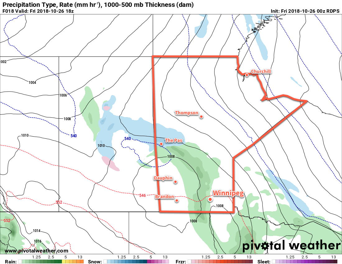
Saturday will bring another day of cloudy skies for the Red River Valley. Winnipeg will see seasonal temperatures with a high near 8°C and winds will remain light through the day. Winnipeg and the Red River Valley will see a chance of showers develop for the late-afternoon and evening. Another low pressure system will move through the province, but much its rain will likely fall over southwestern Manitoba. Here in the Red River Valley, the chance for rain is low and any that does move through is expected to be fairly light. As that system passes later in the day, winds will pick up out of the northwest back to around 20 km/h. Winnipeg should see a low near +3°C under cloudy skies.
A weak ridge of high pressure will push into the region on Sunday, but unfortunately it won’t make too much of a dent in the cloud cover over the Red River Valley. While skies will clear out over the southwestern corner of the province, in the Red River Valley skies will remain cloudier than not. Winnipeg will climb to a high near 8°C under that cloud cover while winds gradually diminish. The city should see a low near +2°C under mostly cloudy on Sunday night with light winds.
Long Range Outlook
Next week will start off with variable cloudiness and near-seasonal temperatures, but the general agreement is that cooler temperatures will work into the region through the second half of the week. With plenty of cloud cover, temperatures are will fall towards the low single-digits by the end of the week. It doesn’t look like the city will see too much precipitation, either, with just the passing chance for light rain or flurries through the week.
Winnipeg’s seasonal daytime high is currently 6°C while the seasonal overnight low is -3°C.