Another Alberta Clipper is set to bring 5–10 cm of snow to the Red River Valley this weekend as seasonably cool temperatures continue.
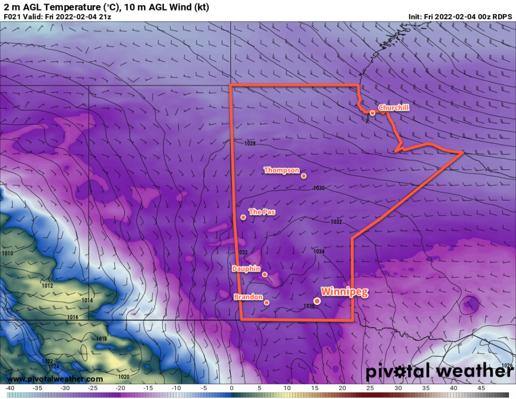
Southern Manitoba will see cold temperatures today as another Arctic high slumps through the region. Daytime highs will sit in the -20 to -25 range this afternoon as northerly winds taper off. Winnipeg will see plenty of sunshine through much of the day.
The next system to impact the region will be an Alberta clipper that develops over Alberta today and dives southeastwards to North Dakota tonight. This system will push a warm front eastwards, spreading cloud cover across southern Manitoba this evening. This system will spread snow into Manitoba overnight as southerly winds pick up to 30 gusting 50 km/h. Temperatures will rise into the -15 to -20 °C range by Saturday morning.
The snow will persist through Saturday morning in the Red River Valley. A bit of blowing snow is possible through the morning hours, but will come to an end as the winds ease by midday. The snow will taper off in the afternoon with a few lingering flurries possible. Note that this system won’t be anywhere near as strong as the last clipper that brought widespread blizzard conditions throughout the region.
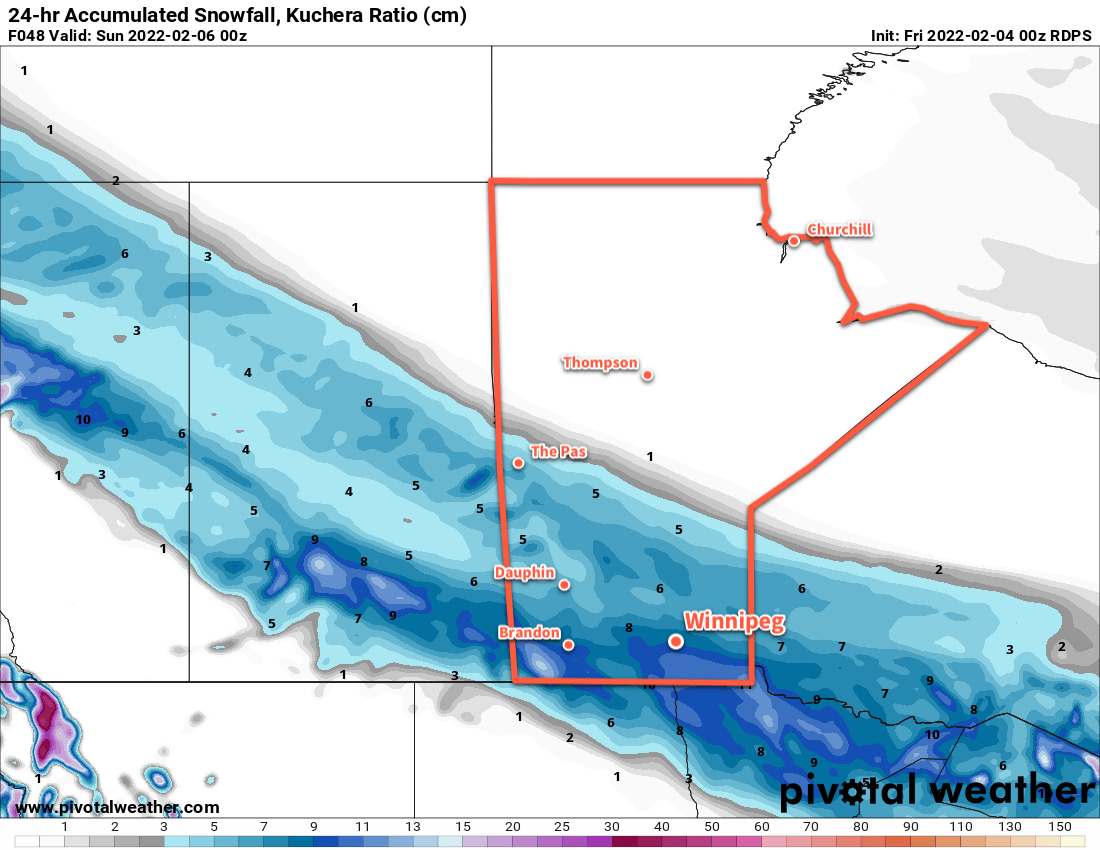
Total snow accumulation through the Red River Valley will likely end up close to 10 cm by the time it tapers off.
Temperatures will be a bit milder on Saturday with a high near -14 °C. Northerly winds of 20–30 km/h will move in behind the system on Saturday afternoon and help send temperatures back to a low in the -20 to -25 °C range on Saturday night.
Skies will clear on Sunday as another high moves through the region. Temperatures will climb back to a high in the -15 to -20 °C range.
Long Range Outlook
A potent low pressure system will track across the southern Arctic beginning Sunday night, spreading a much milder air mass across the Prairies as it goes. Temperatures in Winnipeg will rise into the mid-minus teens on Sunday night as moderate southerly winds develop and cloudier skies move in. A bit of light snow is also possible.
Southerly winds will ease a bit on Monday as temperatures soar into the -5 to 0 °C range. Mild weather will continue into Tuesday with highs possibly climbing a degree or two above freezing! A cold front will sweep through the region later in the day, bringing some cooler weather back.
Temperatures will trend back towards seasonal values for the rest of next week.
Today’s seasonal daytime high in Winnipeg is -10 °C while the seasonal overnight low is -21 °C.