A surge of very cold Arctic air is pushing through Manitoba, but it will be short-lived with a return to seasonal temperatures just around the corner.
The Polar Vortex has shifted from the High Arctic southwards into Hudson Bay, sending a surge of very cold Arctic air into the Prairies. A weak disturbance will round the base of the Polar Vortex today, spawning a weak low in North Dakota. This low will track eastwards with an inverted trough that runs northwards into Manitoba.
This system will spread cloud and light snow across southern Manitoba today. Most areas will see 1 to 3 cm of snow by the time it tapers off this evening. It will also be cold, with temperatures struggling to rebound into the -15 to -20 °C range, bolstered only by cloud cover.
Skies will clear out tonight as an Arctic high barrels into the province. With clear skies, temperatures will plummet tonight. Winnipeg will see a low in the -30 to -35 °C early Wednesday morning. Fortunately winds will be light, so wind chill won’t be a major factor, inasmuch as it matters when its already so cold.
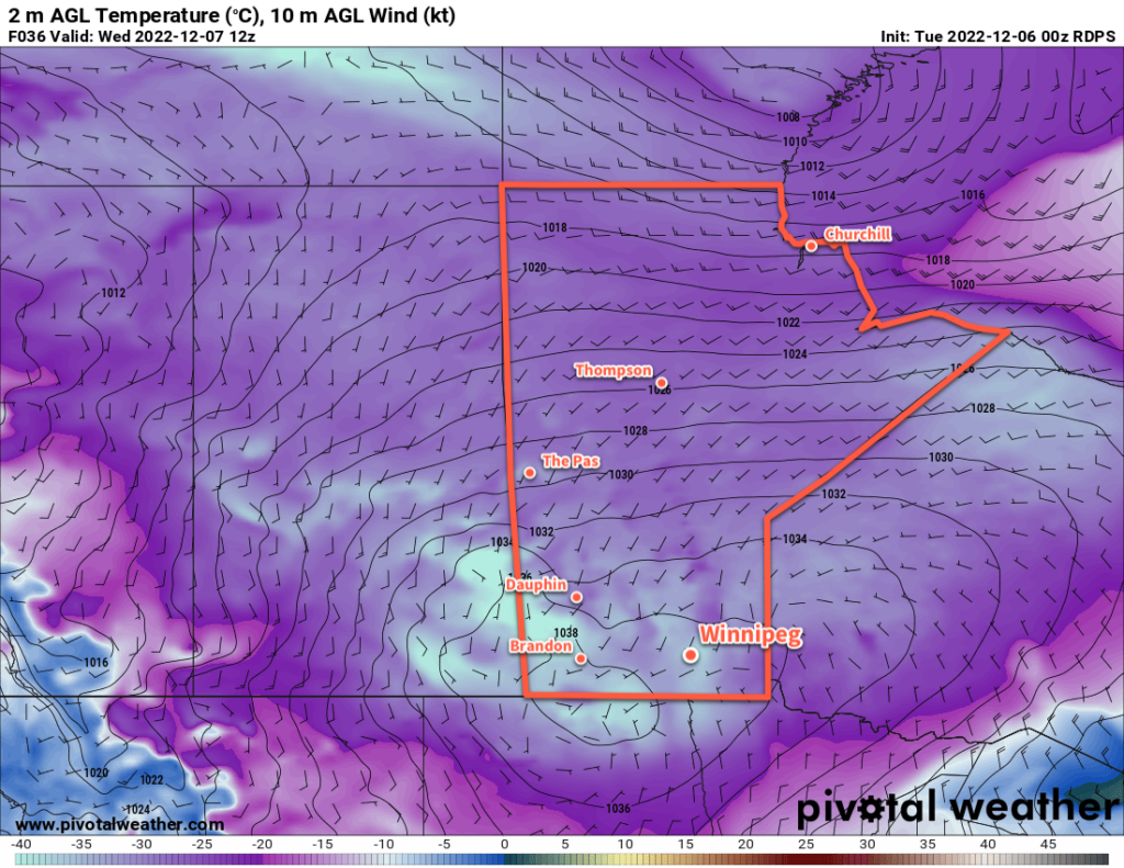
With the high in place, Wednesday will be clear and cold. Temperatures will recover to around -20 °C by late in the afternoon with increasing southerly winds. Wind chill values will sit in the -30 to -35 range by the evening.
Fortunately, those breezy southerlies are a sign of warmer weather beginning to work its way into the region. Temperatures will rise towards the mid-minus teens on Wednesday nights, the continue climbing towards -10 °C on Thursday.
There will be a bit of cloud around on Wednesday night, but Thursday should bring mainly sunny skies.
Temperatures will head to a low in the mid-minus teens on Thursday night with increasing cloudiness.
Long Range Outlook
Temperatures will continue to warm on Friday, reaching a high close to -5 °C with mostly cloudy skies. Some light snow is likely on Friday night, but accumulations will be minimal.
That will mark the transition to a much cloudier, but warmer pattern. The region will see plenty of cloud cover through the weekend and into next week, but daytime highs will climb close to the freezing mark.
Some light snow will be possible on several days, beginning Sunday through Tuesday, with a gradual return to near-seasonal temperatures during that period.
So, the forecast is the ol’ Winnipeg dilemma: bone-chilling cold and plenty of sun, or pleasant winter warmth with socked in cloud cover. Hopefully there’s a little bit to like in the forecast for everyone.
Today’s seasonal daytime high in Winnipeg is -8 °C while the seasonal overnight low is -17 °C.