Seasonal temperatures will persist in Winnipeg for a couple more days with a chance of showers as a couple disturbances pass through the region.
Temperatures will climb to a high near 20 °C today as a slow-moving front begins nudging its way into the Red River Valley. It will bring a slight chance of some showers with it, but none of them will likely be particularly intense and no widespread rain will come from this system. The cloud cover will break up a bit for the evening, then temperatures will dip into the low teens overnight.
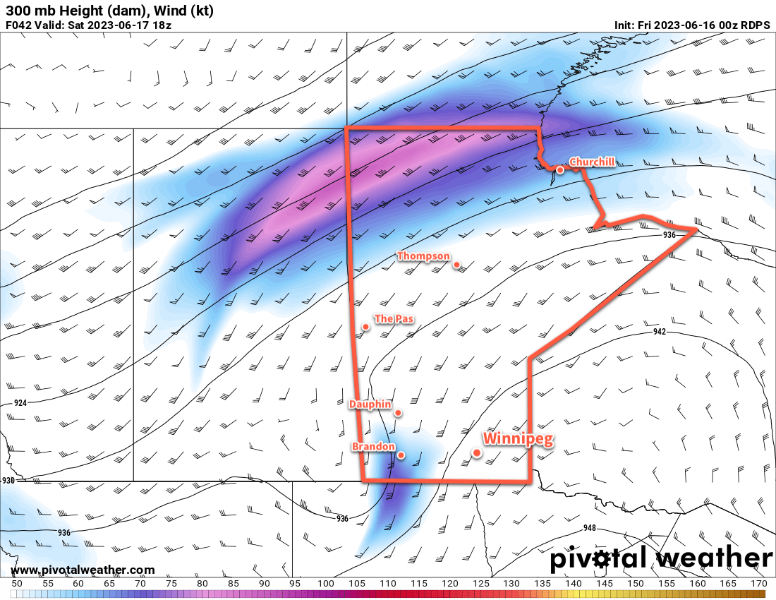
On Saturday, some more showers are possible as an upper-level disturbance pushes across the region. There’s still some uncertainty on this one with very divergent solutions between Canadian and American weather models. The Canadian forecasts are producing an area of rain that will push across the region midday into the afternoon. The American models, on the other hand, keep it dry. Personally, I’m hoping for the dry solution for an event on the day, but it’s really a toss-up right now. Things will become much more apparent later today when it materializes well to our southwest and we can see what it’s able to start producing.
Aside from that, Winnipeg will likely see mixed to cloudy skies on Saturday with a high in the low to mid-20s. Skies will clear out overnight with temperatures dropping into the mid-teens.
On Sunday, heat will begin to build back into the region. Temperatures will climb back into the upper 20s under mainly sunny skies. Humidity levels will stay comfortable, making for a beautiful summer afternoon.
Long Range Outlook
Next week will continue the trend of warm weather with daytime highs in the low 30s gradually easing into the mid- to upper-20s.
Unlike the last bout of heat we experienced, this warmth will be the response of a deep upper trough digging southwards along the west coast. As a result, conditions will become fairly unsettled next week over the southern Prairies with several disturbances tracking through that will bring a risk of thunderstorms to the region.
The main risk should primarily stay to the west and north of southern Manitoba through the first half of the week, but stormier weather is likely in the second half of the week.
Today’s seasonal daytime high in Winnipeg is 24 °C while the seasonal overnight low is 11 °C.