The recent cold snap is coming to an end as temperatures moderate back towards seasonal values, but with that will come plenty of cloud.

Heading into the end of the week, the last remnants of the Polar Vortex that have been lingering over Manitoba will finally shuffle off to the east. This will ease the cold over the region and allow temperatures to recover towards seasonal values. As the weekend progresses, a warm front will push off the Alberta Foothills into southern Saskatchewan while the Arctic front re-strengthens in the north and drops into the northern Prairies.
In Winnipeg, Friday will bring conditions on the cloudier side with a high in the mid-teens today. Like the past couple days, there’s a chance the cloud could be accompanied by light snow. The last of the cold air from the Polar Vortex will linger over the province tonight and keep overnight lows down tonight. The cloud cover will likely break up overnight and allow temperatures to dip into the -30 to -25 °C range.
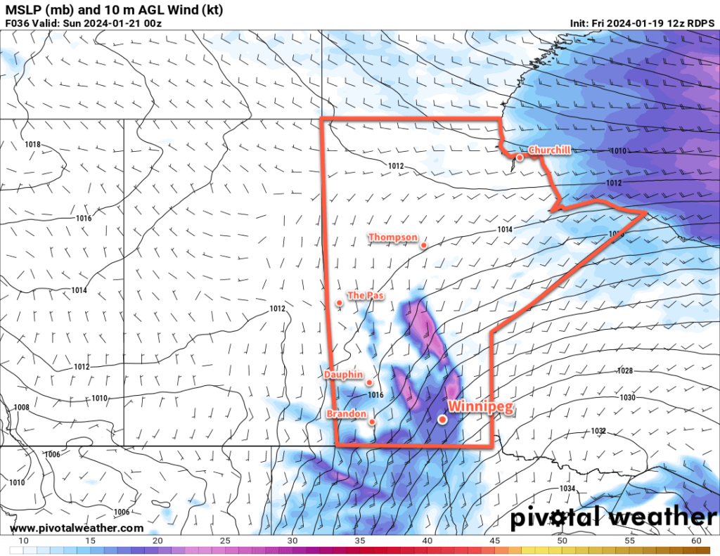
More cloud will push into the region on Saturday as the warm front creeps across southern Saskatchewan. The return flow from a departing high will intensify over the Red River Valley, strengthening southerly winds up to the 40 to 50 km/h range through the day. Highs will climb back to around -15 °C, but wind chill values will be notable making it feel closer to -25. In addition to the chill, those southerly winds will likely produce areas of blowing snow through the Red River Valley; any blowing snow would likely be at its worst from the early afternoon to the evening.
Those winds will begin to ease on Saturday evening as the warmer air finally reaches the valley. Light snow will likely move through overnight with temperatures staying steady in the mid-minus teens.
Winds will continue to ease on Sunday with cloudy conditions across the Red River Valley. Highs will creep upwards again, likely reaching around -10 °C in Winnipeg and area. More light snow is possible on Sunday night with temperatures dipping back towards -15 °C.
Long Range Outlook
There is disagreement between weather models on how next week will turn out. Canadian weather models are pushing Arctic air further south and giving Winnipeg highs in the -15 to -5 °C range through the first half of the week, while other models bring highs of -10 to 0 °C into the region next week.
Either way, plenty of cloud cover will come along with that milder pattern. The warmer weather will likely stick around to the end of the week.
Today’s seasonal daytime high in Winnipeg is -13 °C while the seasonal overnight low is -24 °C.
