With daytime highs above freezing through the rest of the week, Winnipeg will see cloudier conditions develop as the snowpack across the region undergoes significant melt.
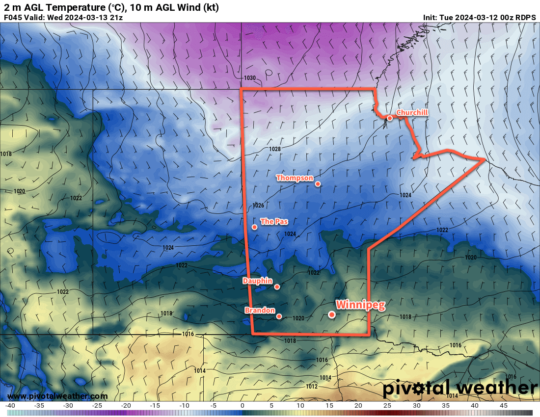
Warm Pacific air will sweep across the Prairies this week as upper ridging gradually dominates the upper air pattern over the coming days. As a result, Winnipeg will see daytime highs that climb above freezing throughout the work week.
It won’t all be sunshine though; a cold front dipped southwards overnight and another frontal boundary will slowly drop southwards through the province over the coming days. This will bring cloudier skies to the region with daytime highs in the +1 to +4°C range. Dew point values are expected to climb above freezing both today and tomorrow which will aid in the melting and erosion of the snow pack. Overnight lows will dip into the -5 to 0 °C range over the next several nights.
A weak disturbance will bring light snow to southwest Manitoba on Wednesday; while there may be a chance of flurries in Winnipeg, the system is likely to fall apart west of the Red River Valley.
As the melt continues through the week and the cloud lingers across the region, the chance of seeing fog patches or mist will increase. Northerly winds will pick up in the second half of the week which should help clear out any lingering moisture in the air.
Long Range Outlook
The next system of note will be a low pressure system dropping southeastwards through Manitoba on Friday. This system could bring a mix of rain and snow to the Red River Valley, though current indications are that it should pull enough warm air eastwards that most of the precipitation would be rain.
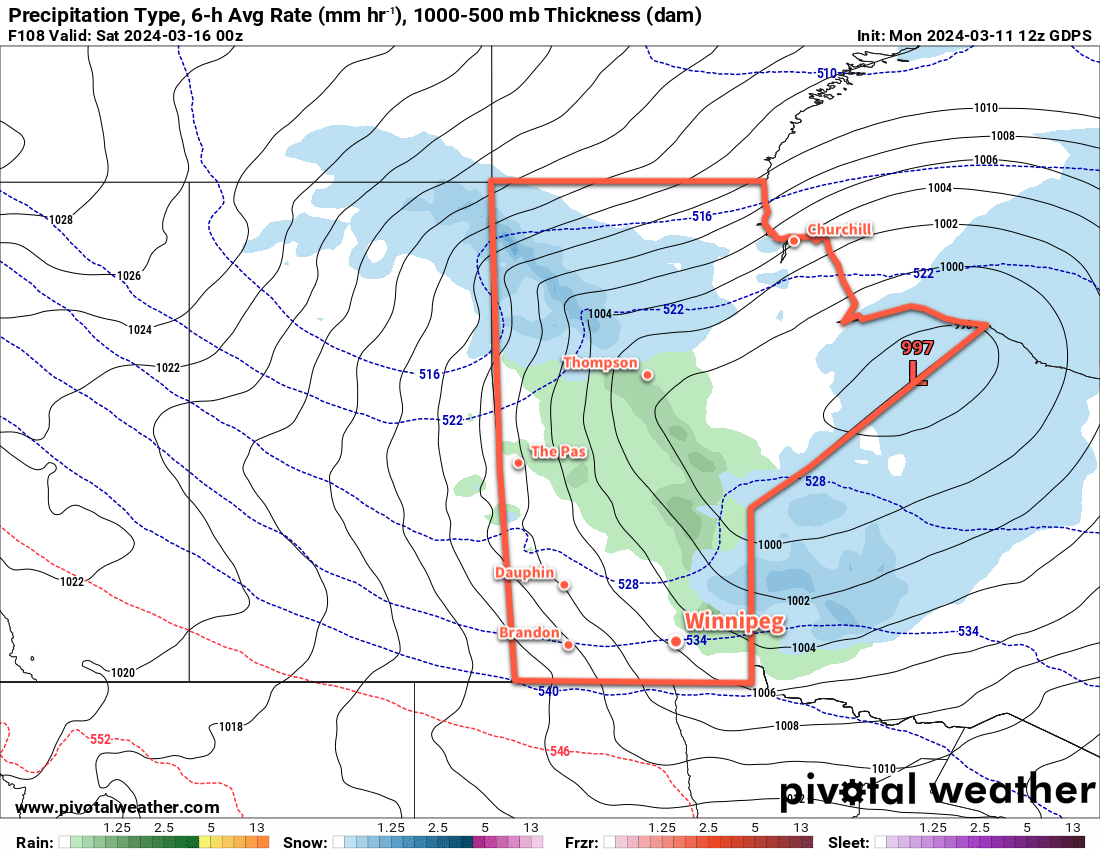
This system could bring rain amounts ranging from a trace to the 5–10 mm range across the Red River Valley. With a cold front swinging through on Friday night, it would leave behind cooler weather with a chance of flurries into the weekend.
Today’s seasonal daytime high in Winnipeg is -2 °C while the seasonal overnight low is -12 °C.