Heat Continues, Wednesday Thunderstorms Will Ease Humidity

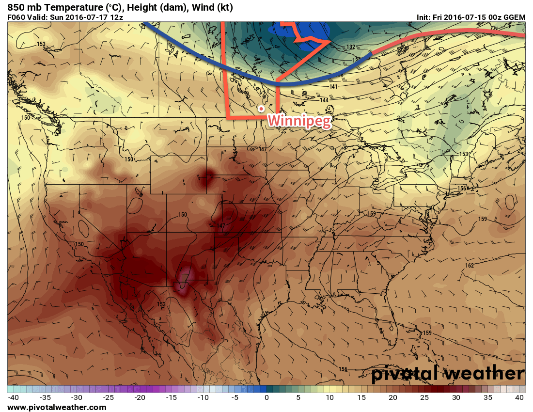
The [extreme] heat will continue through the remainder of the week with daytime highs near or exceeding 30°C through Friday. A weak cold front passing through on Wednesday night will help flush some of the humidity out of the region, making for a slightly more comfortable end to the work week.

Another hot and humid day is on tap for Winnipeg & the Red River Valley as the air mass that moved into the region yesterday remains in place. Daytime highs will soar towards to near 33°C which, when combined with oppressive dewpoint values in the 22-24°C range, will feel more like the low- to mid-40's. There will be little relief from the extreme heat as winds remain fairly light.

Dewpoint values are forecast to rise into the 22-24°C range today, creating oppressive humidity.

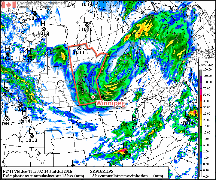
By late afternoon the risk for thunderstorms will ramp back up throughout much of southern Manitoba. There will be a moderate risk of severe thunderstorms along and south of the Trans-Canada Highway with a slight risk of thunderstorms extending northwards into Central Manitoba. Thunderstorms will likely initiate over southwestern Manitoba late in the afternoon, and then propagate eastwards across the Red River Valley overnight. The primary threats from these storms will be strong winds, torrential rain and damaging hail.1 When the storms first initiate in the late afternoon or early evening, they will also pose a tornado threat. It will be another all-hazards severe thunderstorm day for portions of Southern Manitoba.

Behind the thunderstorms overnight, a weak cold front will be sweeping through the region. This will begin pushing out the oppressive humidity and returning dewpoint values to more reasonable values in the upper-teens. Winnipeg will see a low temperature on Wednesday night near 19°C.

Thursday will be a beautiful and warm day under mainly sunny skies (once any left-over nocturnal convection clears out) and a light west-northwest wind. The daytime high will be around 31°C, but the humidity will be much more comfortable, with the dewpoint dropping down to the mid-teens for the afternoon. Expect a low near 17°C on Thursday night.

Friday will bring another disturbance towards Southern Manitoba, spreading more cloud into the region through the afternoon. A thunderstorm threat will once again return to the region. With low dewpoints in place over the region, there will be much less energy to work with than Wednesday's thunderstorms, however the dynamics look relatively good, so there will likely be a slight risk of severe thunderstorms over the region with hail and wind the main concerns. Expect another warm day on Friday with a high near 30°C. The low will dip to around 17°C on Friday night with continuing unsettled weather.

Long Range

The weekend is a bit of a mixed bag with unsettled conditions persisting through Saturday and sunshine returning on Sunday. Temperatures will be cooler with highs in the mid-20's.

Winnipeg’s seasonal daytime high is currently 26°C while the seasonal overnight low is 13°C.

  1. It's worth noting that this unstable air mass was capable of producing baseball-sized hail in a major supercell thunderstorm yesterday.

Near-Seasonal Temperatures This Weekend

Near-seasonal temperatures will be in place this weekend with just a chance of a shower or two across the Red River Valley as a few weak upper disturbances ripple through.

Winnipeg & the Red River Valley will see a beautiful day today with plenty of sunshine, light winds and a high near 24°C. There will be a very slight chance of a shower or two in the Red River Valley, but these will likely be confined to the extreme western portions of the valley, particularly close to the escarpment.

Skies will continue fairly clear tonight with a low near 13°C.

Saturday will bring more pleasant conditions to Winnipeg & the Red River Valley, although there will be slightly more cloud and an incrementally higher chance of some scattered showers throughout the valley, particularly through the afternoon hours. Temperatures will climb to a high near 25°C with light winds once again.

Expect a low near 14°C on Saturday night with partly cloudy skies.

A cold front located over central Manitoba on Sunday morning will sweep southwards through the day.

A weak cold front will sweep into the Red River Valley on Sunday, almost certainly bringing some precipitation with it. Temperatures will still be mild with a high near 25°C, however skies will become mixed to mainly cloudy in the morning, with scattered showers developing by midday. There will be enough instability to produce a thunderstorm threat, but at this time no organized severe thunderstorm threat is expected.1 Winds will shift from 15-25km/h out of the southwest ahead of the cold front in the morning to about the same speed out of the northwest behind the cold front.

Temperatures will dip to a low near 13°C on Sunday night with clearing skies and diminishing winds.

Next Week Brings the Heat

Heading into next week it's beginning to look like a bit of a mixed bag: we'll definitely be seeing a prolonged stretch of summer-like heat as daytime highs climb into the upper 20's after one cool day on Monday, but with Southern Manitoba left on the edge of an upper-level ridge building through central North America, we likely won't see nothing but sunshine all week.

The CPC is forecasting a near-certain probability of above-normal temperatures extending into southern Manitoba next week.

It will be impressive heat that Southern Manitoba will be on the fringes of, with daytime highs soaring into the upper 30's or low 40's through the Great Plains of the United States. Some of that heat may surge further north in the second half of the week and produce daytime highs in the 30-35°C range across the southern Prairies. These high temperatures combined with dewpoint values in the 18-20°C range could result in humidex values approaching the 40 mark across southern Manitoba in the second half of the week.

This warm weather will be hampered, however, by the potential for several rounds of thunderstorm activity.2 With the upper-level ridge not quite fully building into our region, we'll be under the threat for multiple "ridge riders," upper-level disturbances that move up and over the top of an upper ridge. These features are common producers of thunderstorms and can often result in severe weather as well, so although we'll be warm, it doesn't appear that we'll get a completely dry stretch either. Precipitation should primarily be convective, so you may be able to sneak through the week without getting anything, but the potential will be there for wet weather.

Winnipeg’s seasonal daytime high is currently 26°C while the seasonal overnight low is 13°C.

  1. As usual, we'll keep an eye on things and update if the thunderstorm potential looks worse as we get closer to the date.
  2. I've installed chicken wire for protection from the farmers.

Fall-Like Wednesday Leads to Drier, Warmer Weather

Southern Manitoba will be under the influence of a major low pressure system for one more day, bringing gusty winds and more rain shower activity, before drier conditions begin moving in through the remainder of the week.

Winnipeg & the Red River Valley will continue to be under the influence of a major low pressure system currently located over eastern Manitoba for one more day. Today will see cloudy skies and on and off showers through the day across the region, although they will likely be more numerous through the morning hours. Winds will be quite breezy out of the west to northwest at 30-40 km/h with gusts up to around the 60 km/h mark, and it may even feel more like late-summer thanks to a below-seasonal high temperature of just 18°C.

The rain shower activity will taper off through the late afternoon into the evening hours, leaving mainly cloudy skies in Winnipeg as temperatures head to an overnight low near 13°C. The winds will continue breezy at around 30 km/h.

Around 5mm of rain can be expected from showers across much of Southern Manitoba today.

Thursday will bring mainly cloudy skies, although a bit of sun may be possible late in the day. Winds will be lighter than Wednesday at around 30 km/h out of the northwest. Daytime highs will be a bit warmer throughout the Red River Valley at around 20 or 21°C. A lingering trough may result in a few afternoon showers near the U.S. border and extending back into southwestern Manitoba.

Skies will continue to clear Thursday night as temperatures dip to around 12°C.

Friday will be a pleasant day with light winds, plenty of sun and a high near 23°C.

Winnipeg’s seasonal daytime high is currently 26°C while the seasonal overnight low is 13°C.

Thunderstorms & Showers to Start The Week

A severe thunderstorm threat returns to Southern Manitoba today as very warm and humid conditions persist in the region for one final day before a cold front pushes cooler and drier air into the region. The passage of the cold front will not be an end to the unsettled weather, though, as a couple more days of showers or thunderstorms will occur with a large upper-level low passing over the region.

Today brings a notable severe weather threat to southern Manitoba with a slight risk of severe thunderstorms developing over southwestern Manitoba and a moderate risk in the Red River Valley eastwards through the SE corner of the province.1 The thunderstorms will develop mid-day and push eastwards with the cold front through the remainder of the afternoon. It is most likely that the thunderstorms develop over southwest Manitoba first, and then push towards into the Red River Valley this evening. Stay aware of any watches or warnings issued by Environment Canada.

The HRRR develops a line of thunderstorms along the cold front and pushes it into the Red River Valley this evening.

Otherwise, this mornings cloud cover will break up a bit to produce mixed skies and the relatively small amount of sunshine will push the daytime highs to around 26°C. With very humid air in place, it will be a fairly uncomfortable day, feeling more like the low- to mid-thirties. After the thunderstorms move through this evening, we’ll head to a low near 16°C with breezy southerly winds.

Tomorrow will likely bring some sun first thing in the morning, but more clouds will move in with a good chance of more shower or thunderstorm activity in the afternoon. At this point severe thunderstorms aren’t expected, but we’ll keep an eye on things to see if anything changes. Winds will be pick up to be gusty out of the north near 40km/h. Expect a high near 23°C and a low near 14°C with a continued chance for showers overnight.

Wednesday will be a cool and cloudy day with a good chance of more rain. The daytime high will only be around 20°C and winds will continue gusty out of the northwest, although not quite as strong as Tuesday. The shower activity will taper off in the evening as temperatures head to a low near 14°C.

The latter half of the week is looking like a return to seasonal temperatures and a chance of actually drying out a little bit.

Winnipeg’s seasonal daytime high is currently 26°C while the seasonal overnight low is 13°C.


  1. Apologies for the lack of an outlook image; time constraints have prevented me from making one.