Winnipeg hasn’t see the last of the snow quite yet; after a mix of snow and rain yesterday, another mess of wintery weather is on the way later today as a low pressure system slumps through the province from the northwest. Afterwards, the Red River Valley will be left with generally cool weather with daytime highs below seasonal values.
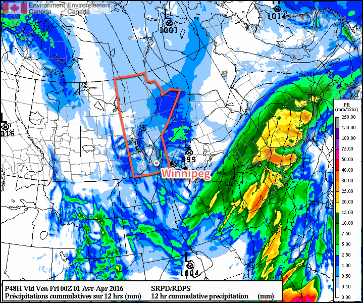
Winnipeg will see but a brief reprieve from yesterday’s snowy & slushy weather before another low pressure system pushes into the province from Northern Saskatchewan and brings another shot of rain and snow to Southern Manitoba. Before that wet and messy weather moves in, Winnipeg will be stuck under mostly cloudy skies with light winds. Temperatures will be below normal today with daytime highs near +3°C.
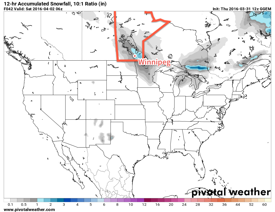
By late this afternoon, a mix of rain and snow will begin working its way into the Red River Valley from the northwest. This mix of precipitation will likely continue into the evening before changing over to just snow overnight as temperatures dip to a low near -3°C.
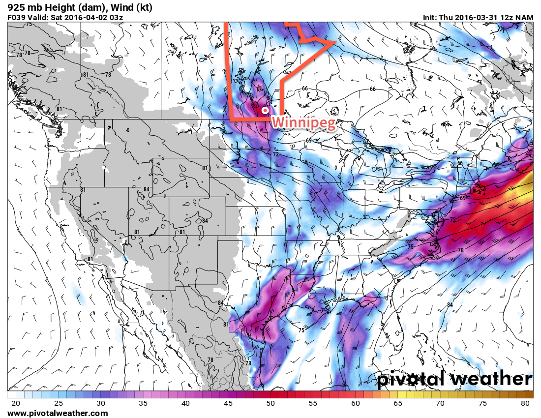
As the low pressure system passes to the east of the Red River Valley overnight, stronger northwesterly winds will develop with sustained winds of 30-40km/h and gusts to around 50km/h.
Thursday will bring more cloud to the region with the gusty northwesterly winds continuing throughout the day, sustained by a ridge of high pressure building in from the north. There will be a chance of light flurry activity throughout much of the day, but no significant accumulations are expected. The daytime high will be a bit cooler than Wednesday at +1 or +2°C, but as the ridge moves it brings much cooler air. It will be noticeable on Thursday night as the winds drop off and Winnipeg heads to a low near -10°C.
The sun should finally make an appearance on Friday as the weather over Southern Manitoba is dominated by a ridge of high pressure. This will result mainly sunny skies with light winds and very cool daytime highs[1] in the low minus single digits. Friday night will continue to be cold with an overnight low in the minus teens.
Long Range
Looking ahead to to the weekend and beyond, it appears that the generally cool temperatures will stick around until at least the middle of next week before a return to more seasonal values.
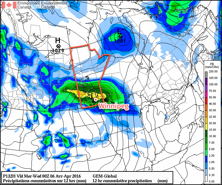
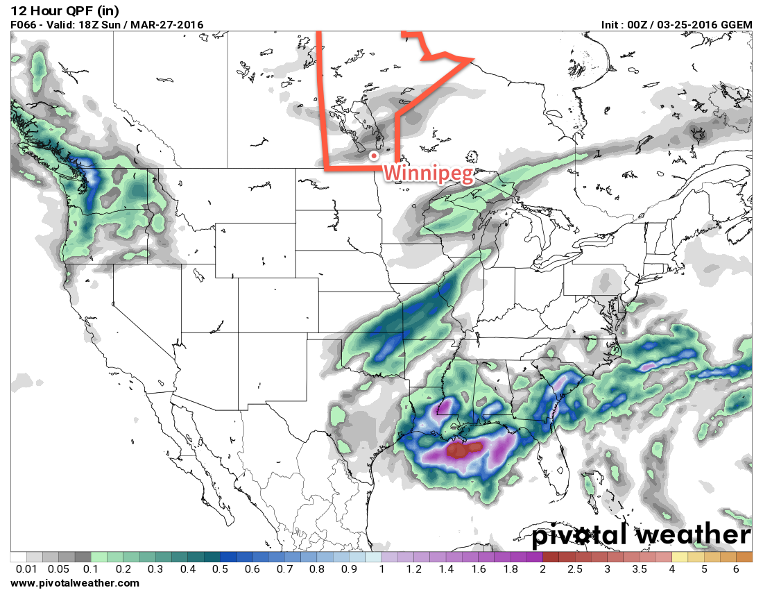
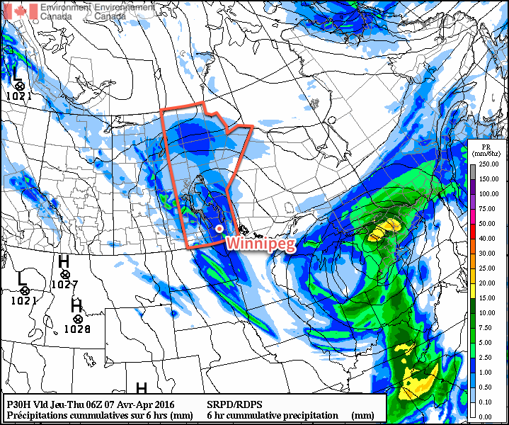
The weekend looks like the most "active" period in the longer-range forecast as another significant low pressure system moves across the Prairies. Strong southerly winds will develop ahead of the low as it moves towards Manitoba through the day on Saturday[2], and then as they begin to diminish another mix of rain and snow will spread across portions of central and southern Manitoba. There’s uncertainty as to how much Winnipeg will see, but best indications are that most should stay north of the city.
Otherwise, the weather looks cool and calm through the first half of next week.
Winnipeg’s seasonal daytime high is currently 7°C while the seasonal overnight low is -4°C.