Cloudy, But Mild

This week will start out on the grey side, with more clouds than sun on most days. However, temperatures will remain mild with values at or above seasonal norms.

Mild but cloudy conditions are expected in southern Manitoba today.

This Week

Today will be a fairly typical late October day in southern Manitoba. Skies will remain mainly cloudy in most areas as a low cloud deck remains suck along the eastern edge of a surface ridge. Temperatures will be near seasonal values, with highs in the mid to upper single digits. Winds will be light from the east. There is a slight chance of a shower or flurry, but not significant accumulations are expected.

Tuesday will see temperatures warm slightly over today, but skies will remain grey. An approaching system will ensure continued cloudiness over southern Manitoba, but a stiff southeasterly flow will allow temperatures to climb up near 10C in most areas. That southeasterly flow will be gusting up to 50 km/h by the afternoon, making these slightly-above seasonal temperatures seem a bit chilly. Shower activity is possible during the day, with a better chance of rain Tuesday night into Wednesday as that system moves closer.

Wednesday will remain mainly cloudy with a continued chance of showers as a weak low pressure system slowly passes by. Temperatures will remain mild, near 10C, with gusty south winds of 20-30 km/h.

Long Range

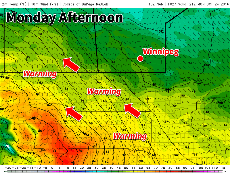
Long range models show generally seasonal to above-seasonal temperatures as we move through the end of October. Our normal high for this time of year is 7C, suggesting that temperatures in the upper single digits or low double digits will be most common through month’s end. These warm conditions will likely spill into early November, but it remains to be seen whether or not November will see an early start to winter, or if we’ll have to wait a bit longer for the white stuff to come for good.

Warm Monday, But Cold Front Looms

Today will be seasonably warm across southern Manitoba, but that is about to change. A looming cold front will bring cooler conditions by Tuesday.

Warm weather is expected today across southern Manitoba

This Week

Today will be the warmest day of the week in southern Manitoba. Mainly sunny skies and light westerly winds will allow temperatures to climb into the mid teens. Given that the normal high is only about 10C this time of year, today is well-above seasonal values. Unfortunately, that is about to change as a strong cold front pushes through southern Manitoba by Tuesday morning.

Tuesday will be significantly cooler than Monday as a rush of chilly arctic air descends from the north behind a cold front. High temperatures will only reach the mid to upper single digits. Skies will be a mixture of sun and cloud with breezy west winds of 20-30 km/h.

Wednesday will remain cool, as temperatures remain stuck in the mid single digits. Skies will be mainly cloudy with a slight chance of a shower or flurry. Winds will be breezy from the northwest at 20-30 km/h.

Long Range

The signal for the rest of the week’s weather is not particularly strong. Model guidance does hint at the potential for slight warm-up as we move into the weekend, but this is not completely certain. In general, high temperatures are expected to hover near the normal high for this time of year of 9-10°C. Longer range guidance shows higher probabilities of warmer than normal conditions are we move toward month’s end.

Cool Weather Starts The Week

This week will remain on the cool side as we continue to deal with chilly air flooding down from the north.

Cool air will continue to push down from the north today

This Week

Today will be another cool one in southern Manitoba. High temperatures in the upper single digits are expected with breezy north winds. A weak low pressure system will pass through the region, perhaps bringing a few showers to southern Manitoba. Portions of western Manitoba and the Interlake may receive some heavier precipitation, with periods of light to moderate rain possible. There may even be some snow mixed in, especially as temperatures cool in the evening and after dark.

Tuesday will remain cool, with temperatures once again in the mid to upper single digits across southern Manitoba. Skies will be mainly cloudy with a slight chance of a shower or flurry. Winds will be breezy out of the north at 20 km/h.

Cool weather will continue on Wednesday as high temperatures only climb into the mid single digits. Skies will remain mainly cloudy with a slight chance of showers or flurries. Winds will be westerly at 20 km/h.

Long Range

Medium- to long-range models suggest that above-normal weather may make a come back as we move toward mid-month with temperatures that may begin to climb back to normal or above-normal values by the weekend and continue into next week. This should stave off the risk of any significant snow for the foreseeable future.

One Last Day of Warm Weather

One more day of seasonably warm weather is on the way before conditions cool down. A strong low pressure system will usher in a much cooler air mass by midweek.

A strong southerly flow will be in place over southern Manitoba today

This Week

Today will be another warm, but breezy day in southern Manitoba. A strong low pressure system to the west will develop a stiff southerly flow, allowing for these warm temperatures. Rain is expected to develop over western Manitoba by this evening, but only a chance of showers is expected over the Red River Valley and southeastern Manitoba. Skies will generally be a mix of sun and cloud with temperatures in the low to mid twenties.

Gusty southeast winds will remain over southern Manitoba on Tuesday, but temperatures will cool somewhat. Highs are only expected to reach the upper teens, with mainly cloudy skies. Showers will be likely throughout the day, although large accumulations are not expected.

Significantly cooler weather is on tap for Wednesday as a strong cold front swings through the region. High temperatures are only expected to be in the low teens with gusty southwest winds. Skies will be a mix of sun and cloud with a slight chance of a shower.

Long Range

Cooler weather will stick around for the rest of the week behind the departing low pressure system. As shown above, our warmer-than-normal temperatures that were in place through the weekend and early this week will be replaced by below-normal temperatures behind this low pressure system.

High temperatures will likely be near 10C most days, plus or minus a few degrees. While that seems cool, it is only a few degrees below normal for this time of year.