Cloudy & Cool Days Ahead

Winnipeg will be stuck in a fairly cloudy and cool second half to the work week as a broad upper-level trough remains entrenched over the region.

Cool & Relatively Dreary

While this morning may bring a few smiles with some sunshine, more cloud will quickly be moving back into Winnipeg, turning skies grey and leaving cool, fall-like weather in the wake. By early this afternoon, skies should be completely clouded up once again with temperatures topping out near 6°C. Winds will be out of the west-northwest at around 20-25 km/h with some gusts in the 30-40 km/h range.

Skies will remain fairly cloudy overnight with northwesterly winds continuing and temperatures dipping down to around 1°C.

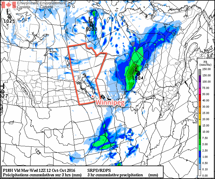
Thursday morning will bring more cloudy skies with a slight chance of some shower or flurry activity as a weak band of lake-effect precipitation moves off of Lake Manitoba. It should dissipate by midday, and we’ll be left with cloudy skies that gradually begin to break up late in the afternoon, calm winds, and a high near 7°C.

Thursday night will bring a low once again near 1°C under partly cloudy skies.

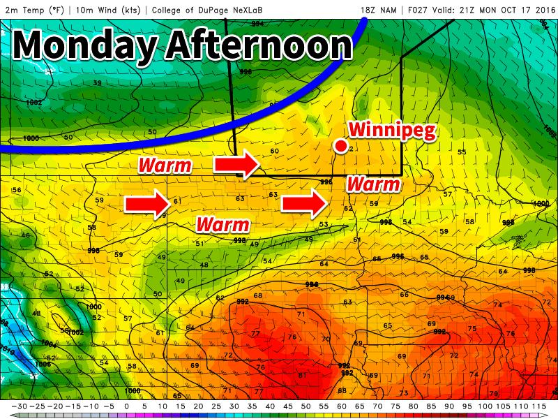
Showers Possible Friday

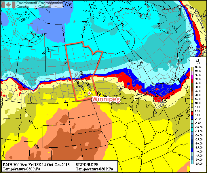
A warm front moving across the Prairies on Friday will bring the chance of showers to the region alongside a shift to a warmer weather pattern.

A warm front will push eastwards across the Red River Valley on Friday.

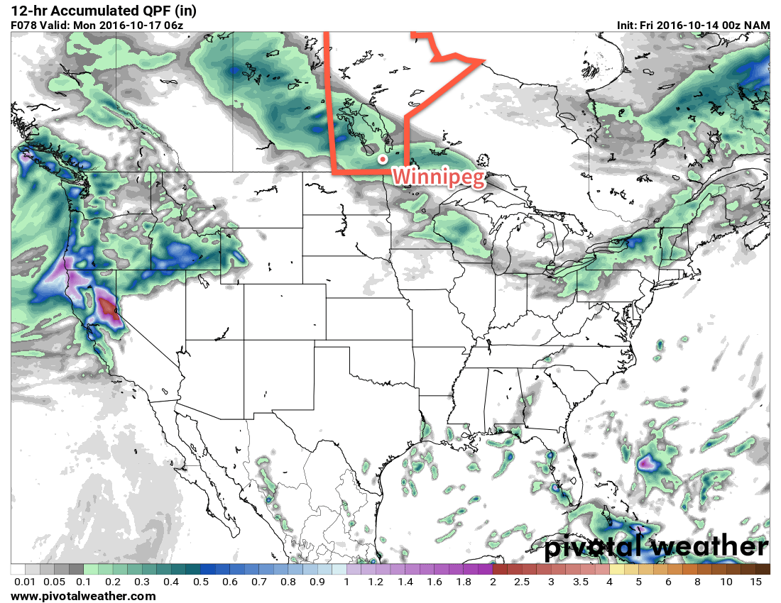
By midday the chance for showers move into Winnipeg with winds picking up out of the south to 30-40 km/h. It doesn’t look like rainfall totals will be much to speak of (less than 2mm), but there may be just enough to make the ground wet.

The warmest air will remain to our south, however, so daytime highs will sit near 9°C. Friday night will bring a low near 2°C under partly cloudy skies.

Long Range

The weekend is looking slightly warmer with highs near 10°C and overnight lows continuing in the 1-2°C range. Skies will likely be mixed through the weekend and there may be another chance for some light shower activity on Saturday afternoon.

Winnipeg’s seasonal daytime high is currently 9°C while the seasonal overnight low is -2°C.

Warm Monday, But Cold Front Looms

Today will be seasonably warm across southern Manitoba, but that is about to change. A looming cold front will bring cooler conditions by Tuesday.

Warm weather is expected today across southern Manitoba

This Week

Today will be the warmest day of the week in southern Manitoba. Mainly sunny skies and light westerly winds will allow temperatures to climb into the mid teens. Given that the normal high is only about 10C this time of year, today is well-above seasonal values. Unfortunately, that is about to change as a strong cold front pushes through southern Manitoba by Tuesday morning.

Tuesday will be significantly cooler than Monday as a rush of chilly arctic air descends from the north behind a cold front. High temperatures will only reach the mid to upper single digits. Skies will be a mixture of sun and cloud with breezy west winds of 20-30 km/h.

Wednesday will remain cool, as temperatures remain stuck in the mid single digits. Skies will be mainly cloudy with a slight chance of a shower or flurry. Winds will be breezy from the northwest at 20-30 km/h.

Long Range

The signal for the rest of the week’s weather is not particularly strong. Model guidance does hint at the potential for slight warm-up as we move into the weekend, but this is not completely certain. In general, high temperatures are expected to hover near the normal high for this time of year of 9-10°C. Longer range guidance shows higher probabilities of warmer than normal conditions are we move toward month’s end.

Warmer, Windier Weekend Ahead

The coming weekend brings both warmer temperatures and windier weather to Winnipeg alongside a mix of cloudy and sunny days. Fortunately, it appears that any rain or snow will hold off until the end of the weekend.

Today will mark the first wave of warmer temperatures moving into the Red River Valley as a low pressure system moving across the central Prairies brings gusty southerly winds to the region that draw warmer air northwards. Temperatures will climb to a high near 15°C today under more cloud than sun as winds pick up out of the south to 30-40 km/h with gusts on top of that. Plenty of cloud will be streaming overhead through the day; it won’t likely be completely overcast all day and the sun may poke out occasionally, but overall there will be more cloud than sun.

Warmer air will be pushing northwards across the eastern Prairies today.

Expect a low tonight near 10°C under mostly cloudy skies with winds out of the south at around km/h.

Saturday will be a beautiful day with cloud clearing in the morning, leaving a mainly sunny day behind with a high near 16°C and westerly winds of 20-30 km/h. Skies will remain clear on Saturday night with a low near 2°C.

The weather will start to turn on Sunday, but it will still be a fairly nice for a good portion of the day. Cloud will begin moving in through the morning hours as winds pick up out of the southeast to 30-40 km/h with gusts on top of that once again. Temperatures will climb to a high near 11°C before an area of rain begins moving through the Red River Valley in the mid- to late-afternoon.

Some weather models, such as the NAM pictured here, are giving Winnipeg as much as 10-15mm of rain on Sunday evening.
The rain will taper off late Sunday night as temperatures head to a low near 7°C.

Long Range

The start of next week looks fairly unsettled with more showers possible on both Monday and Tuesday. Below-normal temperatures seem likely to return mid-week.

Winnipeg’s seasonal daytime high is currently 11°C while the seasonal overnight low is 0°C.

An Improvement In The Weather Ahead

I can't speak for others, but I think I've nearly forgotten what the sun looks like. Fortunately, a reminder is on the way as the persistent cloud that's been locked into the region for so long will be exiting stage right. While it'll take several days until temperatures climb back to seasonal values, the sunshine alone will be a much welcome change.

This morning will start off with some remnant cloud in the Red River Valley–particularly in areas downwind of the lakes where flurries will be possible–but the cloud will clear through midday, with plenty of sun appearing. It will be chilly, though, with temperatures climbing only to around 6°C. A hard freeze is on the way tonight as temperatures drop to -2 to -3°C under mainly clear skies.

A few flurries are possible in Winnipeg on Wednesday morning from a streamer off Lake Manitoba.

Thursday will be a mainly sunny day with a high near 8°C. Winnipeg will likely see a few afternoon clouds, but otherwise no significant weather is expected. Temperatures will dip to around 2°C on Thursday night.

Breezy southerly winds on Friday will bring warmer temperatures back to the region with daytime highs topping out around 14°C. This warmer air will also come with a fair amount of cloud, though, with mixed to mainly cloud skies in place over the Red River Valley. The winds will be notable, though, increasing out of the south to 30-40 km/h in the afternoon.

Above-normal temperatures (red) will push into Southern Manitoba on Friday.

With a warmer air mass in place, temperatures will be milder on Friday night with a low near 8°C.

Long Range

The weekend looks milder with seasonal to slightly above-seasonal temperatures in the Red River Valley. A major low pressure system will track through the region, however the precipitation associated with it should remain north of the Trans-Canada corridor, falling primarily across the Parkland, Interlake, and portions of Central Manitoba.

Despite not expecting much precipitation, we'll probably see a fair amount more cloud associated with the warmer weather, so enjoy these sunny days while we have them!

Winnipeg’s seasonal daytime high is currently 11°C while the seasonal overnight low is 0°C.