One more day of seasonably warm weather is on the way before conditions cool down. A strong low pressure system will usher in a much cooler air mass by midweek.
This Week
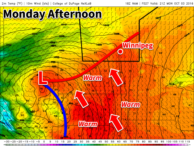
Today will be another warm, but breezy day in southern Manitoba. A strong low pressure system to the west will develop a stiff southerly flow, allowing for these warm temperatures. Rain is expected to develop over western Manitoba by this evening, but only a chance of showers is expected over the Red River Valley and southeastern Manitoba. Skies will generally be a mix of sun and cloud with temperatures in the low to mid twenties.
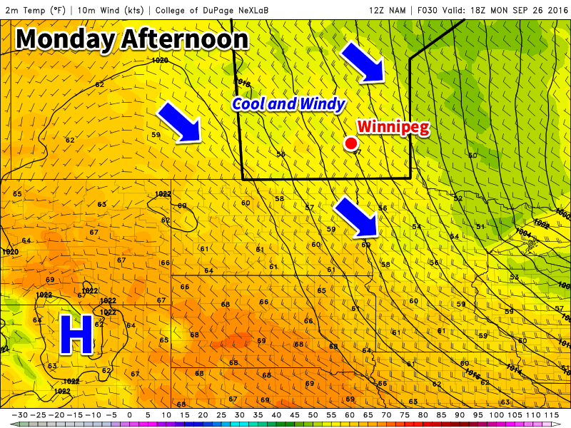
Gusty southeast winds will remain over southern Manitoba on Tuesday, but temperatures will cool somewhat. Highs are only expected to reach the upper teens, with mainly cloudy skies. Showers will be likely throughout the day, although large accumulations are not expected.
Significantly cooler weather is on tap for Wednesday as a strong cold front swings through the region. High temperatures are only expected to be in the low teens with gusty southwest winds. Skies will be a mix of sun and cloud with a slight chance of a shower.
Long Range
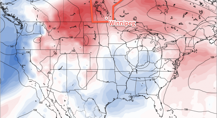
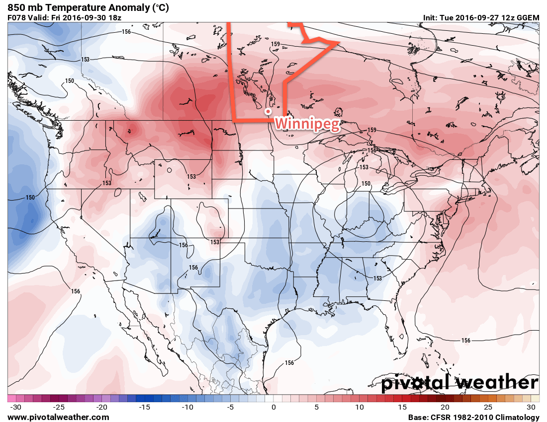
Cooler weather will stick around for the rest of the week behind the departing low pressure system. As shown above, our warmer-than-normal temperatures that were in place through the weekend and early this week will be replaced by below-normal temperatures behind this low pressure system.
High temperatures will likely be near 10C most days, plus or minus a few degrees. While that seems cool, it is only a few degrees below normal for this time of year.