Mild & Cloudy Weather Ahead

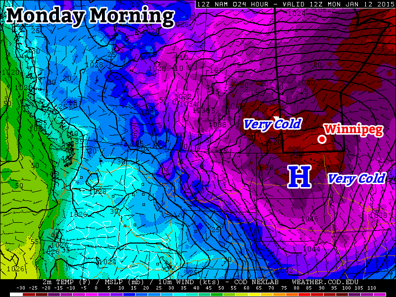
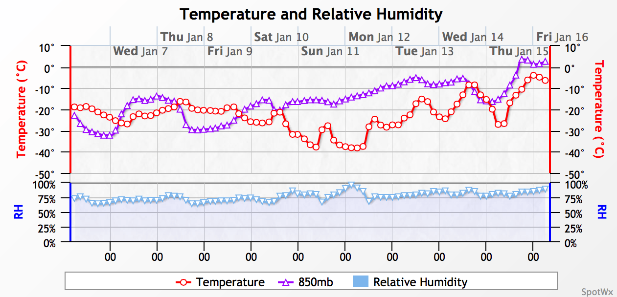
The warmer weather has finally made its way to Manitoba with temperatures expected to climb well above normal today. The surge of warmth is thanks to a weak low pressure system pushing through the Interlake today which also bring some light snow to Southern Manitoba today. Above-normal temperatures will persist through the remainder of the week in what will be a very pleasant mid-January break from the cold.

Wednesday

-3°C / -8°C
Snow beginning this morning.

Thursday

-5°C / -18°C
Mixed skies with a chance of flurries.

Friday

-5°C / -8°C
Mainly cloudy, light snow likely

Today’s weather will be driven by a low pressure system tracking through the Interlake region. Light snow will spread eastwards across Southern Manitoba through the morning period with most areas seeing the snow taper off by mid-afternoon. Generally, a couple cm of snow is expected, however slightly higher amounts of 3–4cm may fall through the Interlake. Winds will be gusty out of the south at 30–40km/h until the evening when the winds will diminish and shift to the southwest. Expect a high near –3 or –2°C today.

This 12hr. precipitation totals panel from the RDPS shows 1-2.5mm of precipitation over Manitoba today, equivalent to anywhere from 1 - 3cm of snow.
This 12hr. precipitation totals panel from the RDPS shows 1–2.5mm of precipitation over Manitoba today, equivalent to anywhere from 1 – 3cm of snow.

The clouds may break up a bit overnight, however it should remain on the mostly cloudy side. Our low temperature will fall to around –8°C.

Thursday will bring mixed skies and a slight chance of flurries as a weak frontal boundary works through the Red River Valley. Highs will sit near –5°. Skies should clear out on Thursday night, allowing temperatures to drop significantly to around –18°C for a low.

More cloud returns on Friday as another low pressure system works into the province. Not much snow is expected with it, but light snow over much of Southern Manitoba looks likely. Highs will climb to around –5°C with lows on Friday night at around –8°C.

The milder, somewhat cloudy weather is expected to persist through the weekend before returning to more seasonal values[1] for next week.


  1. Normal daytime highs are around –13°C for this time of year in Winnipeg.  ↩

Warm-up Just Around the Corner

After a couple weeks of frigid conditions, a warm-up is on the way. However, we’ll have to deal with another couple days under an arctic air mass before warmer weather arrives.

Monday morning will be extremely cold in southern Manitoba

Monday

Monday
-22°C / -26°C
Mainly Sunny

Today will be very cold in southern Manitoba. Morning low temperatures will be in the minus thirties, with daytime highs remaining stuck in the minus twenties. The wind will gradually pick up throughout the day, slowly adding a more significant wind chill factor. We’ll be under a strong surface high pressure system, so at least it will be sunny!

Tuesday

Tuesday
-18°C / ⇑ -15°C
Mainly Cloudy

Tuesday will be the last really cold day for awhile. Morning temperatures will be in the minus twenties, with a gusty south wind, making it feel closer to -40. Temperatures will slowly rise during the day, reaching the upper minus teens by late in the day. The wind will remain gusty though, so it will still feel pretty cold. However, temperatures will continue to rise on Tuesday night as that southerly flow brings in warmer air, setting up much nicer weather for Wednesday.

Wednesday

Wednesday
-2°C / -10°C
Mainly Cloudy

Wednesday will finally feature that long-promised warm-up. Temperatures will climb into the low-minus single digits (maybe even up to 0C in some areas). Unfortunately, it will be a cloudy day, but I’m sure most people will take the warmer conditions over a bit of sun.

Long Range

The long range forecast continues to show a prolonged period of warmer weather beginning this week. The average high at this time of year is -13C, so that does not mean every day will be near the freezing mark, but most days should be in the minus single digits.

Cool Weekend Leads to a Warm-Up Next Week

Cooler weather will stick around for a few more days in Winnipeg & the Red River Valley until warmer air begins working its way across the Prairies next week. Fortunately, things will feel nicer on the weekend as the gusty winds that have been around for a couple days subside into a cool but calm weekend.

The coming days will be dominated by one last big Arctic ridge moving into the region. Daytime highs will peak at –18°C today and slide towards –23 or –22°C by Sunday, with overnight lows dropping towards –30°C on Saturday night before warmer air begins making its way into the region on Sunday night. Skies will start off partly cloudy to mixed today with a slight chance of some scattered flurry activity, and then gradually clear out for a mainly sunny weekend. Winds will be breezy today at around 30–40km/h with some local blowing snow possible in the rural areas of the Red River Valley, but will diminish tonight to fairly light through the weekend.

Warming Up Next Week

As we mentioned earlier in the week, it still continues to appear that a fairly significant warm-up is in our future.

The NAEFS 8-14 day temperature anomaly outlook is forecasting above normal temperatures returning to much of North America.
The NAEFS 8–14 day temperature anomaly outlook is forecasting above normal temperatures returning to much of North America.

Both the NAEFS pictured above as well as the American CPC 6–10 Day Outlook are forecasting a strong likelihood of above-normal temperatures returning to our region. Specific solutions vary quite a bit, but in general it appears that a big warm-up is on tap through the second half of next week with temperatures rising into the –5 to 0°C range. Quite warm air is forecast to move into the region aloft, and with no blocking ridge forecast to develop to our east and a generally more progressive flow, there’s even a slight chance that we might see warmth and sun, which would certainly be a pleasant recovery from the past cold snap.

Given that we’re nearly past the coldest part of the year and I can still remember how nice December was temperature-wise, I think it’s safe to say that this winter is a far cry from the brutal cold we had last year.

A Cold Finish to the Week; Warmer Weather Next?

Cold and dry weather continues through the end of the week and into the weekend, however long-range guidance continues to develop a consensus that will show a moderate-to-significant warm-up by the end of next week.

Today is bringing mainly sunny skies over southern Manitoba with highs near the –20°C mark. It will be a little breezy with northwesterly winds to 20–30km/h. Winds will taper off this evening with temperatures dropping to around –23°C. Clouds will thicken up overnight as a trough of low pressure slides into the region from the northwest.

This trough of low pressure will be the main weather story for Thursday; the first half of the day will be cloudy with some light snow before things begin to clear through the afternoon. Winds will strengthen out of the northwest behind the trough and by mid-afternoon much of the Red River Valley will see winds of 30–40km/h with gusts to 60km/h. Winds will stay breezy through Thursday night at around 30km/h as the temperature drops to around –25°C.

Friday will bring a few clouds and a high near –18°C with breezy winds to 30–40km/h once again out of the west-northwest.

Big Warm-Up Next Week?

Long-term forecast models are beginning to come into a consensus that we’ll see a fairly significant warm-up through the latter half of next week.

A time-series plot of forecast surface temperatures (red) and 850mb temperatures (purple) from the GDPS. Courtesy Spot WX.

Probabilistic forecasts are all showing warmer-than-seasonal temperatures in the 8–14 day period[1], however some models are hinting that it might get significantly warmer. Shown above, the GDPS weather model is bringing 850mb temperatures near 0°C into the region through next week which allows the surface temperatures to gradually climb to around 0°C as well.

There’s a lot of danger in using a deterministic model that far into the future, though, and I’d feel a lot more comfortable with temperatures in the –10 to –5°C range by mid-week instead of promising highs near the freezing mark.

Alongside the warming trend will come a more active storm track which will bring the potential for a couple snow events across the region as well.


  1. Seasonal daytime highs for Winnipeg next week sit around the –12°C mark.  ↩