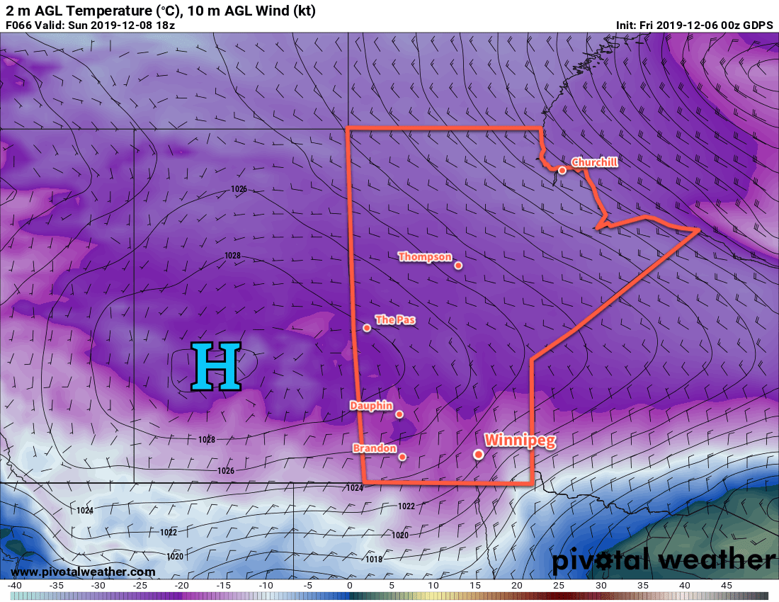
Seasonably cold weather will stay entrenched over southern Manitoba for the next few days.
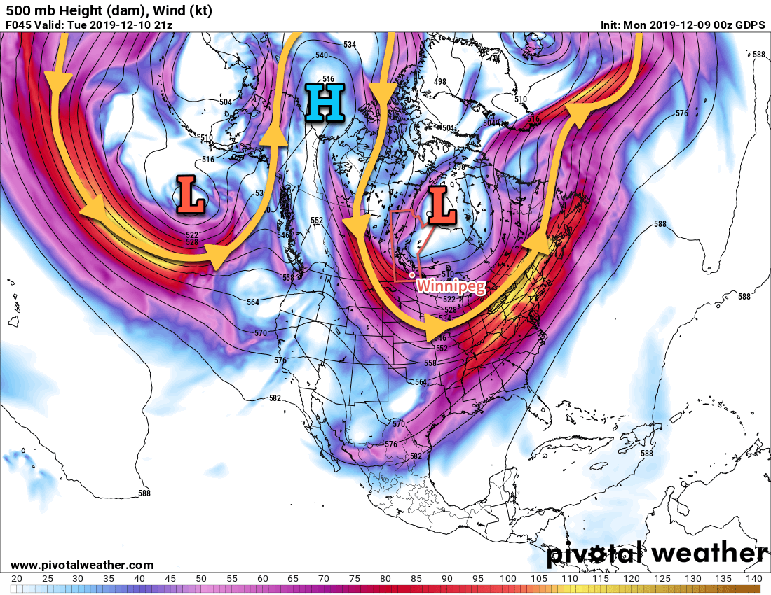
Cold Arctic air will continue to pour southwards across the eastern Prairies this week. The Polar Vortex will sit over Hudson Bay for much of the week, maintaining a strong cross-polar flow. This will keep a steady stream of cold air streaming from the High Arctic down to the eastern Prairies that then curls off to the southeast across the northern United States.
This will keep temperatures cold, but nowhere near record values. Winnipeg will see a high near -17°C today with light winds. Skies will be mainly sunny through the day, but cloud will spread in tonight alongside a weak low moving into the region. Winnipeg will see clouds with flurries through the first half of the night with winds increasing out of the northwest to 30 km/h. Skies will clear out for the second half of the night as temperatures drop to a low near -27°C. Wind chill values will dip into the mid-minus 30s.
Skies will clear on Tuesday bringing plenty of sun to the city, but it will be downright cold with a daytime high near -20°C. Winds will be light out of the west. Temperatures will drop to a low near -28°C on Tuesday night with light northwest winds. Winnipeg will see sunny skies with a high near -20°C on Wednesday as an Arctic high moves across the region. Winds will be out of the west-southwest near 20 km/h.
Some cloud will push into the region on Wednesday night as more seasonal temperatures begin working into the region. The city should see a low near -25°C.
Long Range Outlook
The second half of the work week will see temperatures returning to seasonal values with plenty of cloud cover. Light snow is possible later Thursday into Friday morning. The weekend should bring mixed skies with highs of -15 to -10°C and overnight lows in the mid-minus teens.
Today’s seasonal daytime high in Winnipeg is -9°C while the seasonal overnight low is -18°C.