Winnipeg’s Weather Takes A Wet & Unsettled Turn

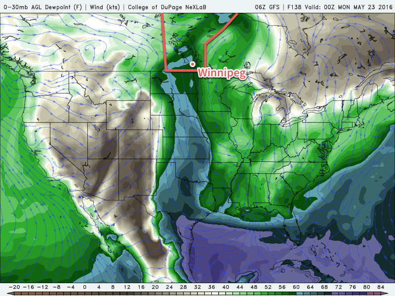
A series of disturbances are set to track into Southern Manitoba through the remainder of the week, brining numerous chances for showers & thunderstorms to the region over the coming days.

Today will start with some sunshine for Winnipeg, but as the day progresses skies will become increasingly cloudy as a disturbance pushes northwards out of North Dakota. Before the sun is hidden away behind the cloud, Winnipeg will reach a warm daytime high near 24°C. By mid-afternoon, showers and/or thunderstorms will be pushing northwards through the Red River Valley, likely reaching Winnipeg for the evening rush hour.

Forecast 500mb Vorticity form the GDPS valid Thursday morning
A complex series of upper disturbances will move through Southern Manitoba through the remainder of the week.

The rainy weather will continue overnight and into Thursday, gradually tapering off by Thursday evening. Expect a low near 14°C tonight, a high near 18°C on Thursday, and a low near 12°C on Thursday night.

The sun should make an appearance again on Friday, returning daytime highs back to the mid-20's. There will be a chance for some showers or an isolated thundershower on Friday afternoon. A weak disturbance moving into the region on Friday night will once again bring the chance for more rain on Friday night.

By the time all is said and done, a fair amount of rain is possible over the coming days throughout the Red River Valley. In general, it's likely that most places will see somewhere between 10-30 mm of rain over the coming 3 days, however with the convective nature of some of the precipitation, it's possible that some areas exceed these amounts and end up closer to the 50 mm mark. Where that may be will depend on exactly how this system sets up, so we'll keep an eye on it and provide updates in the comments below.

Long Range

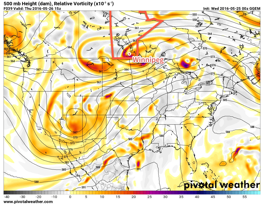
The unsettled weather will continue into the weekend as a couple more disturbances move through the region. Both Saturday and Sunday show a chance of precipitation for the Red River Valley. Daytime highs will be in the low-to-mid 20's once again.

Winnipeg’s seasonal daytime high is currently 21°C while the seasonal overnight low is 7°C.

Nice End to the Long Weekend

The Victoria Day long weekend will end with good weather after an unsettled Sunday and warm conditions are expected to continue into midweek.

Warm temperatures are expected in southern Manitoba

This Week

Today will be a nice day in southern Manitoba. Skies are expected to be mainly sunny with temperatures climbing into the mid twenties. There will be a slight risk of thunderstorms in the morning in the Red River Valley and south-eastern Manitoba as some instability remains ahead of a weak cold front. The risk of storms should end by the afternoon as westerly winds remove the moist air mass from the region.

Tuesday will be another pleasant day, with temperatures in the mid to upper twenties and mainly sunny skies. A southerly flow will be in place over southern Manitoba, with wind speeds around 20 km/h.

Wednesday will be an unsettled day in southern Manitoba. A south-easterly flow will bring a moist air mass back to the region, causing the atmosphere to become unstable. There will be a risk of thunderstorms in most of southern Manitoba, but at this time it remains unclear how strong storms will become. Models currently show marginal conditions for severe thunderstorms, although it is too early to say what type of risk we’ll end up seeing.

Long Range

Long range models continue to show generally above-seasonal temperatures for southern Manitoba over the next couple weeks. We should see these warm-hot conditions last into early June, if not longer than that. We are only a month away from the beginning of summer, so it is become less likely we’ll see any prolonged periods of cold weather.

Holiday Weekend Turns Unsettled

Summer warmth will continue in Winnipeg for the weekend as southerly winds continue to pull moisture northwards from the United States. By the latter half of the weekend, conditions will become noticeably more humid as a low pressure system begins moving into the region, bringing with it the first organized thunderstorm threat of 2016.

Today will be a beautiful day for Winnipeg & the Red River Valley with mainly sunny skies over the region as temperatures climb to a high near 26°C. Winds will be out of the south at around 20 km/h. There could be an isolated pop-up shower this afternoon through the RRV, but the chance for that will be quite small and not nearly as much shower activity is expected as was seen yesterday through the Red River Valley. Temperatures will fall to a low near 14°C tonight under clear skies.

RDPS Forecast Surface Temperature valid 00Z Sunday May 22, 2016
It will be another warm day on Saturday with high temperatures in the upper-20’s over Southern Manitoba.

Saturday will be another beautiful day with a high temperature once again near 26 or 27°C under sunny skies. It will be a little breezier than Friday with winds strengthening to around 30 km/h. Expect a low near 16°C on Saturday night with winds out of the south near 20 km/h.

Things will begin to change on Sunday as a low pressure system approaches from the west and some of the more humid air from the US begins working into Manitoba. The day will start off sunny with winds out of the south strengthening to 30-40 km/h. It will begin to feel more humid as the day progresses as dewpoint temperatures climb into the mid-teens. It will be warm, too, with a daytime high near 28°C.

NAM SBCAPE, SFC/850/500 X-Over valid 00Z Monday May 23, 2016
Forecast instability (SBCAPE) and wind crossover on Sunday evening.

Through the afternoon, the threat for thunderstorms will develop across southwestern Manitoba and spread eastwards into the Red River Valley for the evening. Instability will peak over SW Manitoba in the afternoon with SBCAPE1 values approaching 2500 J/kg and then tapering off to the 1500-2000 J/kg range as the axis of instability moves into the Red River Valley. Fairly unidirectional wind profiles combined with 30-40 kt of surface to 500mb bulk shear will favour the development of a line of thunderstorms moving northeastwards. The thunderstorms will likely be moderate-to-strong but at this point the threat for severe thunderstorms seems relatively low in the Red River Valley. West of the Red River Valley there is a slight chance for severe thunderstorms, particularly early on in the event before the thunderstorms develop into a line. The primary threat over southwestern Manitoba with any severe thunderstorms that may form will be large hail. We'll continue to keep an eye on things as they develop and refine the storm forecast if needed.

Unsettled Start to Next Week

Holiday Monday will be lead off an unsettled start to next week. Daytime highs will fall back to the low 20's with showers or thundershowers likely to start off Monday and then general unsettledness continuing through the first few days of next week. Conditions will improve through the second half of the week with warmer temperatures returning to the region.

Winnipeg’s seasonal daytime high is currently 21°C while the seasonal overnight low is 6°C.

  1. Surface-based convective available potential energy

A Stretch of Beautiful Summer Weather

Winnipeg will see plenty of sun and warmth as the first deep southerly flow of the year develops this week, advecting warm and increasingly humid air northwards from the Great Plains of the United States into Manitoba.

The coming days will be bring beautiful summer weather with plenty of sunshine and temperatures soaring into the mid-20's. This afternoon will also bring breezy southerly winds to around 30-40km/h. We'll see just a few clouds today as a weak disturbance moving into Manitoba from the western Prairies slowly falls apart.

RDPS Temperature Forecast valid Thursday Afternoon
The RDPS shows warm summer-like temepratures across the Prairies on Thursday.

Thursday and Friday will both be sunnier days with winds out of the south at 20-30km/h. Thursday will be the windier of the two with gusts in the 40-50km/h range possible, while Friday will see winds more steady and a bit lighter. For both days, the high will be near 26 or 27°C.

Nights will be much milder than we've seen lately with overnight lows in the 12-15°C range.

Of note, and a significant change from what we've seen so far this year, is that this prolonged period of southerly winds will finally bring some more humid air into the region as moisture from the Great Plains of the United States. By the end of Friday, dewpoints will have climbed from near 0°C into the upper single digits. While we won't notice a significant difference in how it feels, it will certainly alleviate some of the moisture stress for plants which could help improve the fire danger in the region.

Long Range: 2016's First Humid Days?

For the weekend, the weather will continue distinctly summery with high temperatures climbing into the upper 20's. Along with the continued warmth, those southerly winds will continue to push moisture northwards and begin pushing dewpoint values towards something that may actually begin to feel humid. By the end of Saturday, it is forecast that the dewpoint will climb to around 12-13°C which is a fairly typical summer value for the region. On Sunday, however, a surge of humidity is expected to push into Manitoba, bringing dewpoint values into the 15-17°C range, which will begin to feel a bit humid when combined with a high near 29°C.

GFS Surface Dewpoint Forecast valid Sunday Evening
The GFS shows clearly this weekend’s stream of humidity from the Gulf of Mexico northwards through the Great Plains into Southern Manitoba.

With the humidity will also come unsettled weather. It's far to early to get into many specifics, but beginning on Sunday afternoon, the chance for thunderstorms will make an appearance across Southern Manitoba. Early indications are that there may be a slight chance for severe thunderstorms with a primary threat of severe hail. We'll be sure to keep an eye on things as they develop and provide a more in-depth outlook in our Friday post.

Winnipeg’s seasonal daytime high is currently 20°C while the seasonal overnight low is 6°C.