An intense Colorado Low, coupled with a strong surge of bitterly cold Arctic air, will plunge Southern Manitoba back into the deep freeze and bring heavy snow and white-out conditions to the Red River Valley, including Winnipeg.

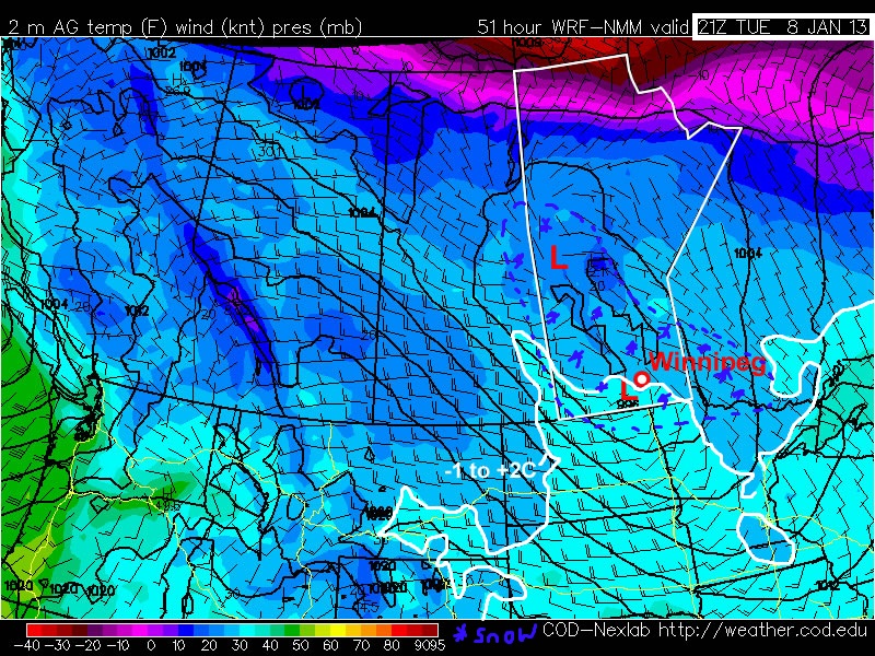
Surface analysis of Southern Manitoba valid 6:45AM today. A strong warm front is draped over the SE corner of the province, with temperatures near 0°C & light winds in the warm sector. To the west of the warm front, strong winds are already in place through the Red River Valley and temperatures have dropped close to the –10°C mark.
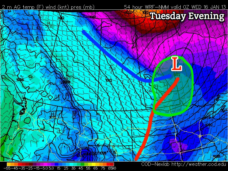
A very energetic upper-level trough that has been anchored over the Rocky Mountains has finally begun it’s eastwards trek, which will spawn a Colorado Low later today set to track through Minnesota. The graphic above shows the expected low tracks from North American Ensemble Forecast System, and it’s quite easy to see that there’s fairly strong agreement to the track of the low through Minnesota. This is significant because with strong Colorado Low systems, the heaviest snowfall falls in a fairly tight band to the northwest of the low track, and a minor shift in the track can result in a significant change in snowfall accumulations for any one location. As things stand, it looks that the Red River Valley and southeastern Manitoba will be under fire for the heaviest snow accumulations from this system.

Freezing precipitation potential for the daytime today.
We’ll be starting the day with patchy freezing drizzle and snow through the Red River Valley, with the risk of freezing rain for regions east of the Red River. Periods of light snow will slowly intensify through the day today across southern Manitoba (although it could be falling as freezing rain for areas east of the Red River) as the system begins to move off the Rocky Mountains in the United States. As the Colorado Low becomes better formed by this evening, snow will really begin to pick up across the whole of Southern Manitoba. Winds will start off around 40km/h with gusts to 60km/h and pick up to 50 gusting 70 or 80km/h by the evening. Blowing snow will become widespread across the Red River Valley this afternoon and become a significant travel hazard this evening. Total snowfall accumulations today should sit at 5–10cm for most places, with the potential for higher amounts in upslope areas near Dauphin. If freezing rain does materialize in the mentioned areas, up to 1–2mm of it may fall.
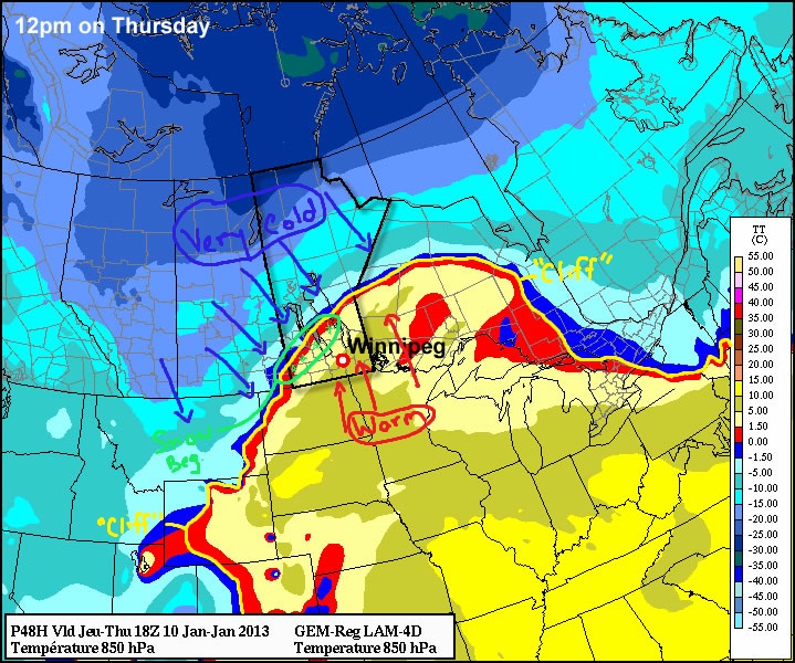
Temperatures will sit just around the 0°C mark over the SE portion of the province this morning, with cooler temperatures to the west in the Red River Valley. Cooler air will work it’s way in from the NW through the day, with temperatures slowly dropping to the –10 to –16°C by the evening.
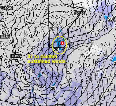
Blizzard warnings are issued by Environment Canada for storms that will bring at least 4 consecutive hours of visibilities of 1/4 mile (400 metres) or less in snow and/or blowing snow, along with sustained winds of 40 km/h or more. Specific thresholds of snowfall are not required for blizzard warnings, as they are based on visibility criteria, not snowfall amounts.
The strongest portion of this system will pass through tonight. Heavy snowfall combined with strong winds will produce blizzard conditions through the Red River Valley. Inside the city of Winnipeg, buildings should provide enough shelter to keep visibilities higher, but open areas and the Perimeter Highway will be pummelled with near-zero visibilities. White-out conditions will exist across many highways in Southern Manitoba tonight, especially any west-east running roads. It’s also probable that the Trans-Canada Highway may be closed this evening. In addition to the poor visibilities, many highways will be extremely slippery as fresh snow and blowing snow polish a newly-frozen road top. It’s highly recommended that you avoid any travelling tonight. If you have absolutely no choice, ensure that your vehicle has a winter survival kit and be sure to check the most recent highway conditions. Generally another 10–20cm of snow will fall across Southern Manitoba tonight with overnight lows between –15°C and –18°C.

Our forecast of total accumulated snowfall from this system by Saturday morning.
Saturday morning will likely bring full out blizzard conditions through the Red River Valley with the strong northerly winds still in place. Snow will taper off and the winds will calm down through midday Saturday as the Colorado Low pulls off towards James Bay. Total snowfall amounts across Southern Manitoba should end up in the 10–20cm range, however there may be two areas with high uncertainty that could end up with 20–30cm of snow:
- The western escarpment of the Red River Valley, roughly from Portage la Prairie northwards to Dauphin. The strong N/NW winds will provide upslope enhancement to this region which should elevate snowfall amounts over the surrounding regions.
- The Red River Valley (including Winnipeg). This is the most difficult part of the forecast; models have been up and down with their forecast snowfall amounts with some producing as little as 10cm and others producing as much as 26–28cm. This will depend on the exact track and timing of this system, coupled with moisture supply. I’ve gone for 15–20cm for the most likely snow accumulation for most of the Red River Valley; but I can’t rule out the possibility of accumulations closer to 25cm for some places.
This system will be the strongest winter storm we’ve seen this season. Once again, to reiterate, the main points of this system are:
- Strongest part of the system will pass through Southern Manitoba tonight.
- Strong winds gusting as high as 80km/h will produce widespread blowing snow giving near-zero visibilities through nearly the entirety of Southern Manitoba.
- Heavy snowfall giving storm-total accumulations from 10–25cm.
- Extremely treacherous driving conditions produced by heavy snow, icy roads, and near-zero visibilities in snow/blowing snow. Road closures are likely.
Conditions should be significantly improved by Saturday evening with calm winds and clear skies as the Arctic ridge moves into our region. Temperatures will remain steady around –18 or –19°C for Winnipeg & the Red River Valley.
Sunday will bring sunny skies with a very cold daytime high of only –22 or –23°C. Winds will remain light, keeping wind chill values minimized.
We’ll post updates in the comments below. Feel free to leave comments letting everyone know what you’re seeing in your neck of the woods and/or how much snow you get!