We’ll see fairly typical weather for this time of year across Winnipeg and the Red River Valley with a big exception being tomorrow: with southerly winds and a big upper ridge moving across the region, there’s a good chance we’ll see temperatures in the upper 20’s, perhaps even breaking 30°C on Saturday afternoon.

We’ll see plenty of sunshine today as the aforementioned upper ridge begins working it’s way into our region. Temperatures will be able to climb up much higher than yesterday, where a cool air mass combined with clouds limited our temperatures. We’ll see a high near 25°C today, although it will be a bit of a climb as we dig out of a rather chilly morning.
On Saturday, the upper ridge will move across the province, bringing with it 850mb temperatures in the 17-18°C range. Winds will be out of the south, not the southwest, so we won’t see any significant downslope effect to help our temperatures out. As a result, we’ll see widespread highs near 28°C with a few locales getting as high as 29 or 30°C by the late afternoon.
A powerful cold front will dive southwards through the Red River Valley on Saturday evening which will usher cool Arctic air in from the north. 850mb temperatures will plummet to nearly 0°C for Sunday which will hold our daytime high to the mid-teens, most likely below the seasonal normal high of 18°C, under cloudy skies.
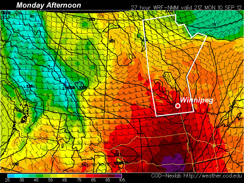
Cooler air will continue to push southwards into the beginning of next week, with 850mb temperatures dropping below 0°C on Monday and remaining over the region for much of the week. This will likely result in daytime highs in the mid-teens and overnight lows in the low single-digits for much of the week under more cloud than sun and a chance of showers on and off through the week.