No notable changes to start the week for Winnipeg with more unseasonably mild temperatures ahead. A change in the weather will arrive for Thursday.
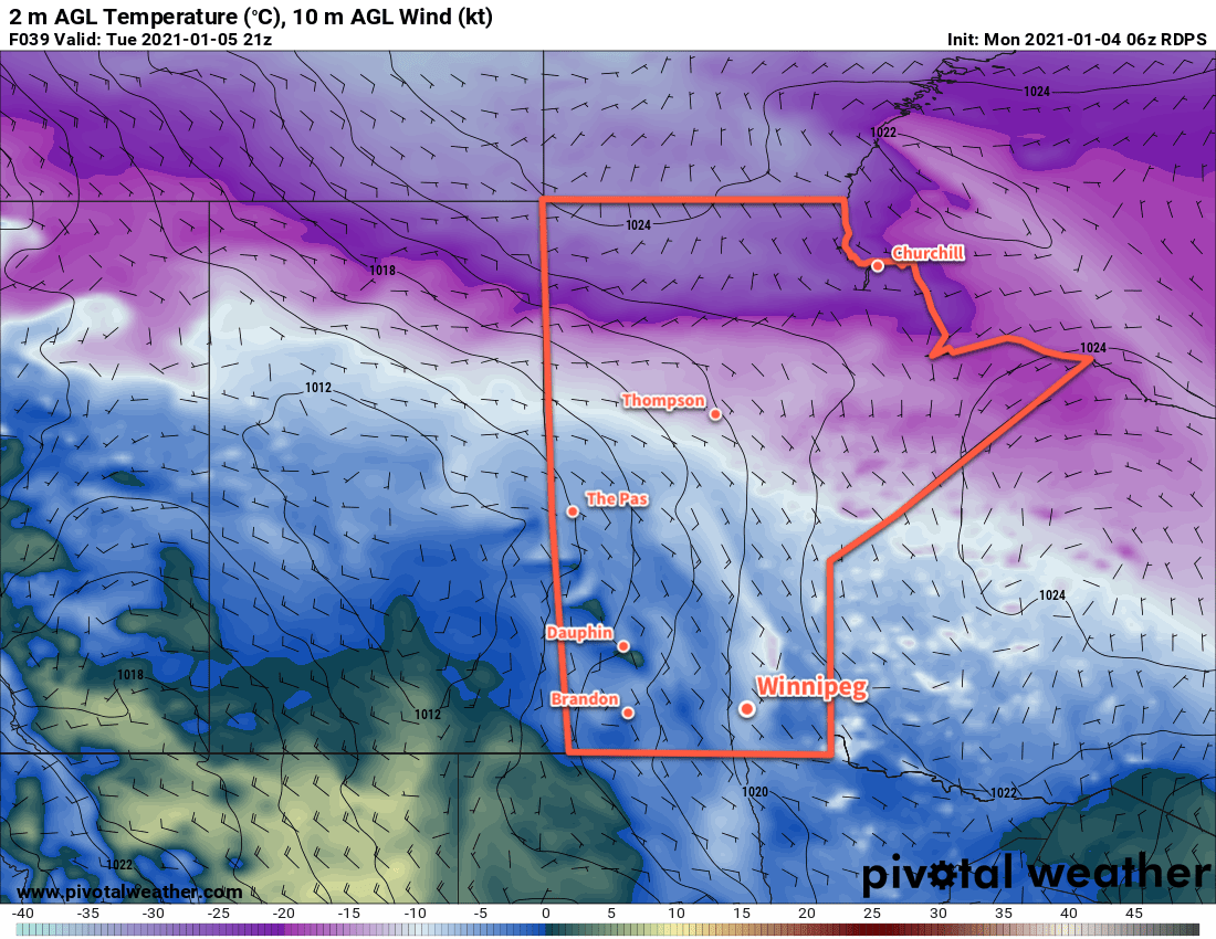
The Canadian Prairies will continue to see a zonal flow aloft this week, running along the northern edge of a broad upper-level ridge. This will keep the milder Pacific air coming and give Winnipeg dry, warm weather.
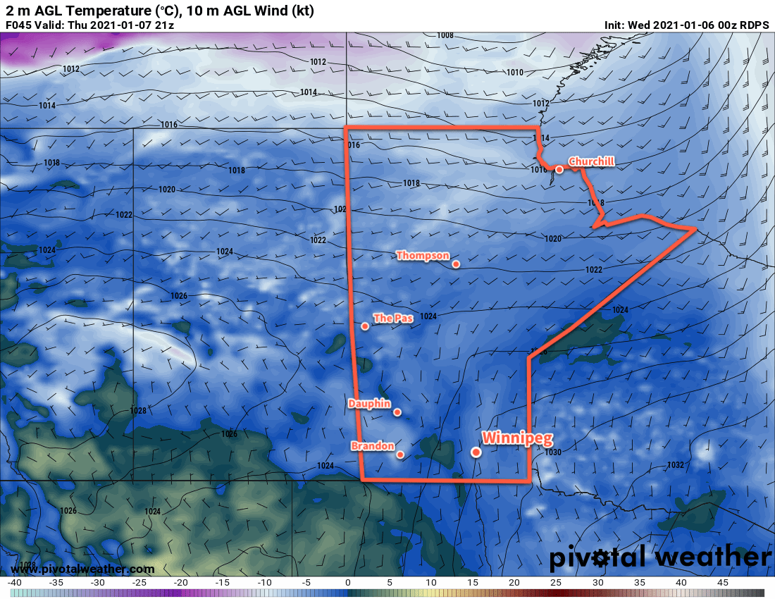
As a result, the city will see daytime highs of -2 to +1 °C over the coming days. Overnight lows will cool slightly over the next couple nights into the -5 to -7 °C range. On Wednesday, a low pressure system moving through the province will bring more cloud and warmth. This system will likely keep temperatures above freezing on Wednesday night.
Winds will stay light over the coming days. On Tuesday, areas along the Red River Valley’s western escarpment will see some breezy downslope winds, but they should ease to light by the central Red River Valley. On Wednesday night, the low moving across the province will strengthen winds in Winnipeg out of the south-southwest to 30 gusting 50 km/h by Thursday morning.
Conditions will stay fairly dry over the coming days. A passing flurry is possible on Tuesday, but the next organized chance for precipitation will be Wednesday night as the low passes. Some rain showers are possible overnight, followed by a freeze early Thursday and more snow and wind.
Long Range Outlook
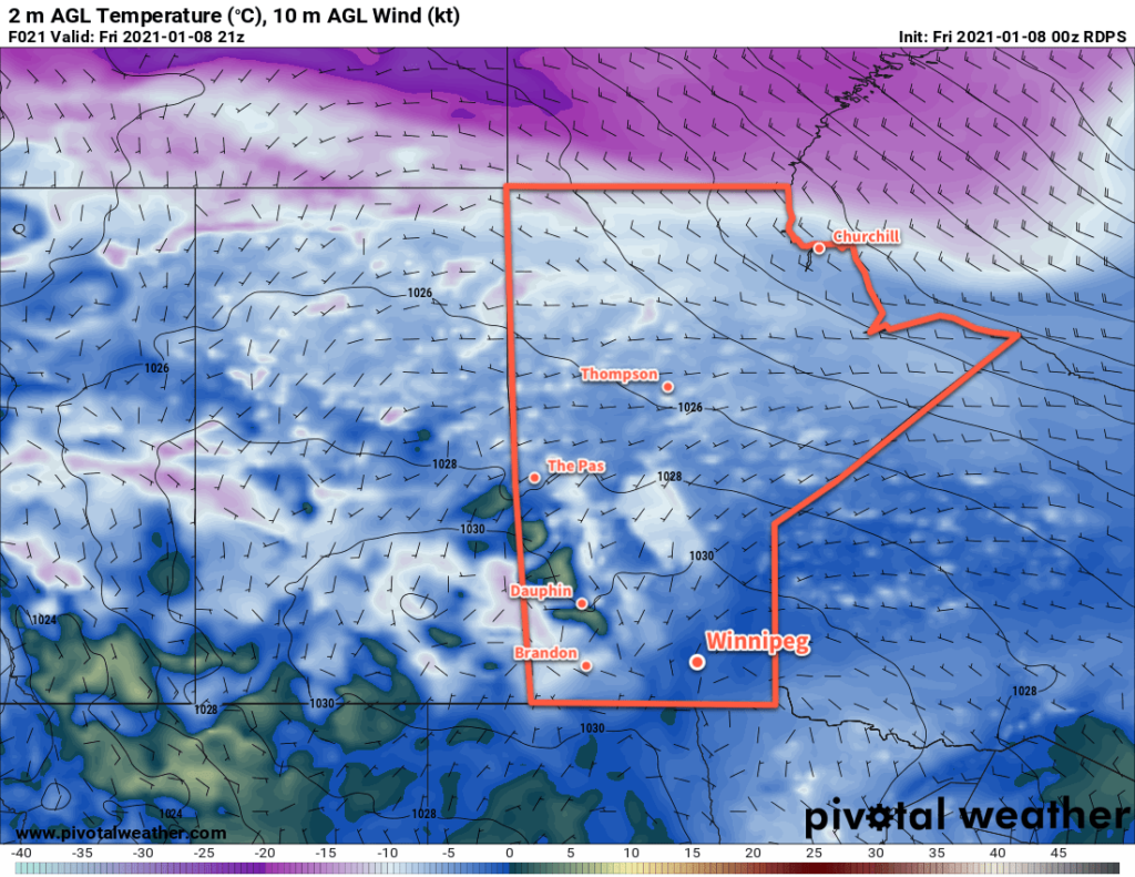
Thursday looks to be an unpleasant day across the region. Snow will move through the region on Thursday into Thursday night with a total likely near 5 cm. With the snow will come strong northwest winds into the 40–50 km/h range will entrench over the region that will linger into Friday. The combination of temperature falling below freezing on Wednesday night, fresh snow, and strong winds will likely lead to poor travel conditions through Thursday.
The passage of this low will shift Winnipeg into a slightly cooler weather pattern. Temperatures will still stay above seasonal values, but will be a bit more “wintery” than seen lately. Daytime highs are forecast to fall into the -5 to -10 °C range with lows into the minus teens.
Today’s seasonal daytime high in Winnipeg is -13 °C while the seasonal overnight low is -24 °C.