Beautiful summer conditions lie ahead for Winnipeg this weekend!
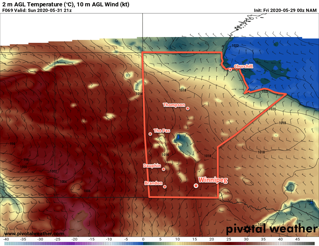
A building upper ridge will bring plenty of sunshine to the region over the coming days with seasonal temperatures. Right through the weekend, Winnipeg will see daytime highs near 26 or 27°C and lows in the mid-teens. Winds on Friday will be out of the northwest at 15 to 25 km/h, then they’ll ease to light and variable for the weekend.
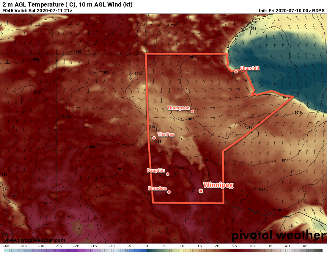
A disturbance embedded within the building ridge will move across the region on Saturday morning, bringing some cloud to the region. No rain is expected in Winnipeg with this system, instead any precipitation is forecast to stay west of the Red River Valley. This cloud will break up for the afternoon hours and then clear out by the evening.
Long Range Outlook
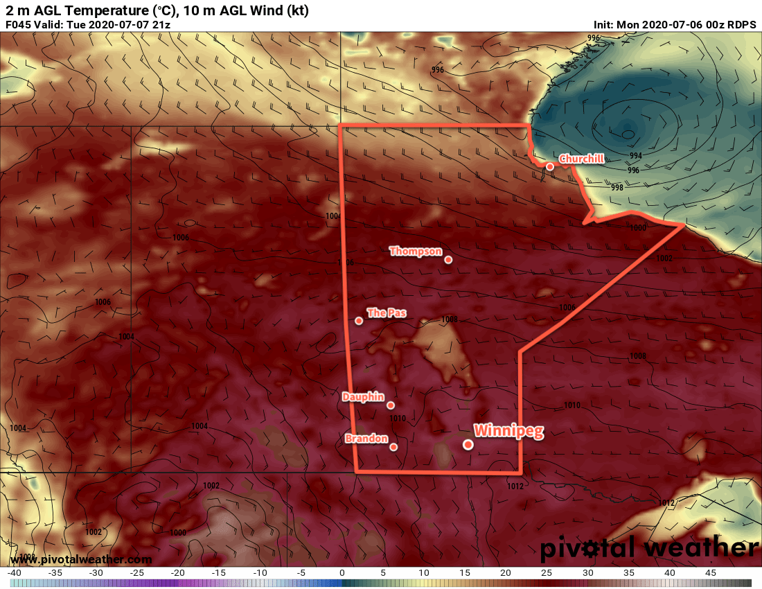
Next week will kick off with a low moving through the province that could bring more rain and/or thunderstorms to the region. After that, though, it looks like a return to pleasant summer conditions. Near-seasonal highs with comfortable humidity look to persist right through the week.
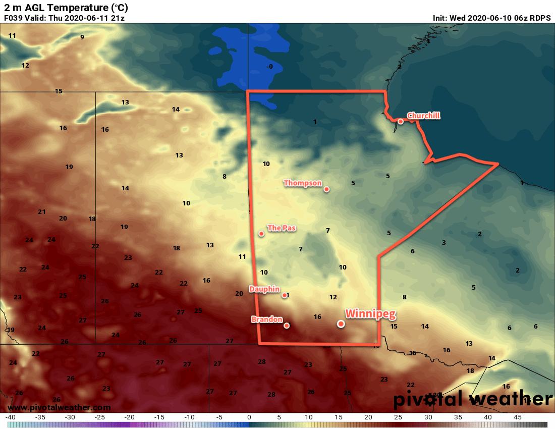
Today’s seasonal daytime high in Winnipeg is 26°C while the seasonal overnight low is 13°C.