Winnipeg will see pleasant conditions this weekend with seasonably cool temperatures and variable cloud cover.
The cold weather that moved into the region yesterday has already left with a more seasonal air mass taking its place. A warm front moving into the region brought cloud through the night that will clear out early this morning. Left behind will be sunshine, light southwesterly winds, and daytime highs near -12°C. Skies will remain clear tonight with light winds as temperatures dip to a low near -18°C.
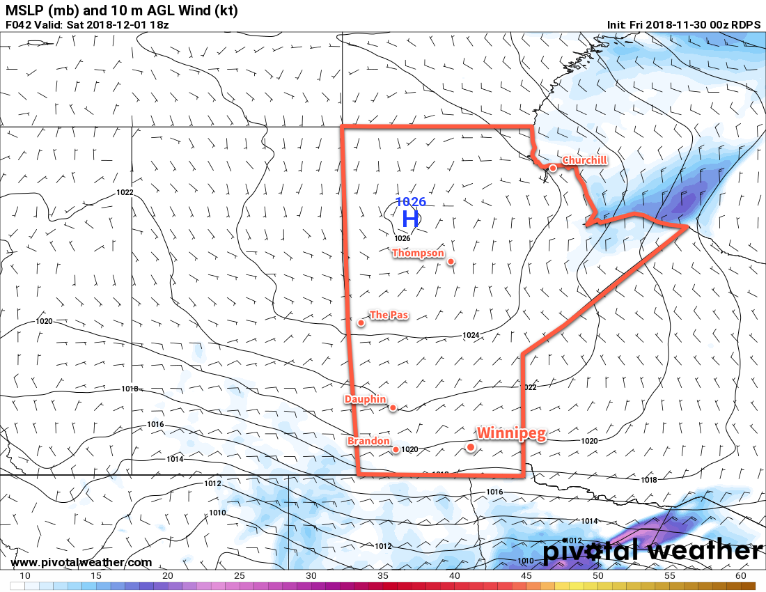
More sunshine is on tap for Saturday with a southerly flow developing ahead of yet warmer air trying to push into the region. Temperatures will climb to a high near -10°C with southerly winds near 20 km/h. Skies will cloud over on Saturday night as temperatures dip to a low near -16°C.
Sunday will bring cloudy skies to Winnipeg as a weak upper trough moves through. The city might see a few light flurries, but there won’t be any accumulating snowfall. Temperatures will be a bit cooler with a high back near -10°C. Winds will be light. The cloud cover should stick around on Sunday night with a low near -15°C.
Long Range Outlook
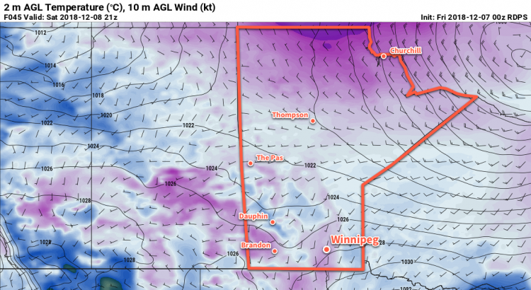
After the upper trough moves through on Friday, warmer air will continue to spread eastwards across the Prairies. With variable cloudiness, next wee should bring high temperatures generally around -5°C with lows near -10°C. Some days may be cloudier than others, but no major snowfall events are forecast right now. All things considered, it’s quite a pleasant start to December!
Winnipeg’s seasonal daytime high is currently -8°C while the seasonal overnight low is -18°C.