Winnipeg will see a beautiful weekend with a fair amount of sunshine, warm temperatures, and just a slight chance of a passing shower or two.
The general weather pattern this weekend will see a weak high pressure system moving through the Prairies. It will bring generally pleasant and mild weather to the region with highs in Winnipeg forecast to reach the upper 20s. Overnight lows will gradually warm as well, climbing into the mid-teens by the end of the weekend.
Winds won’t be a bother over the coming days, either, with light northerly winds shifting to westerly sometime Saturday night.
The region will see plenty of sunshine, with cloud cover following the ebb and flow of the temperatures. Generally sunny mornings will cede to afternoon clouds as temperatures warm up. In the evening, skies will clear as temperatures cool.
Lastly, while the chances for any one spot to see rain remain low, isolated to scattered afternoon showers are possible. It looks like they will be very hit and miss, so just keep an eye on the sky over the next couple afternoons in case a rouge shower passes through.
Long Range Outlook
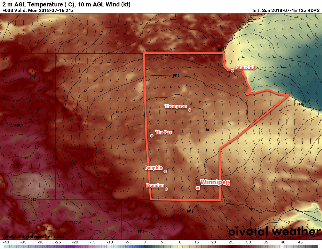
The pleasant summer weather will spill over into the start of next week. Generally sunny conditions with daytime highs in the upper 20s will continue into Monday. A low pressure system passing through on Tuesday looks like it will bring showers or thunderstorms to the region followed by a return to seasonal temperatures and variable cloudiness.
Winnipeg’s seasonal daytime high is currently 26°C while the seasonal overnight low is 13°C.