Mild and Cloudy Weather Ahead for Winnipeg With Chance of Snow

Winnipeg will kick off the new decade with mild temperatures, cloudy skies, and a couple more chances of light snow.

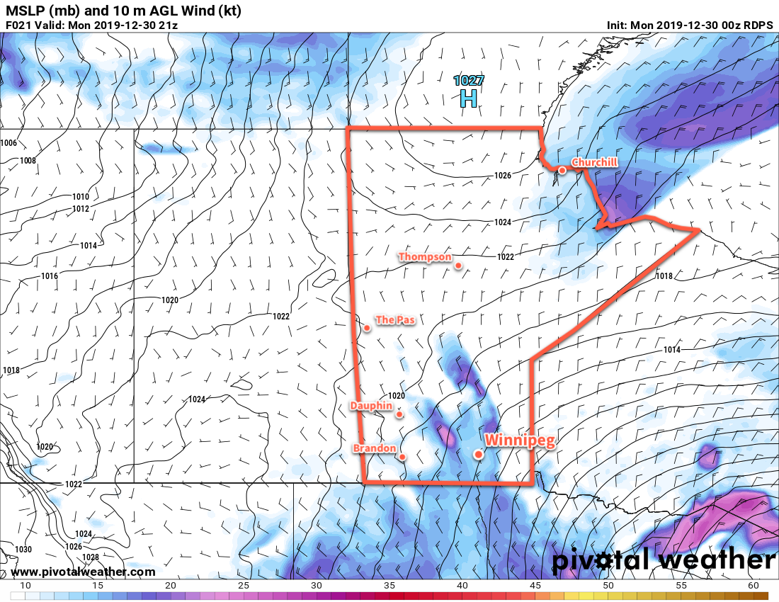
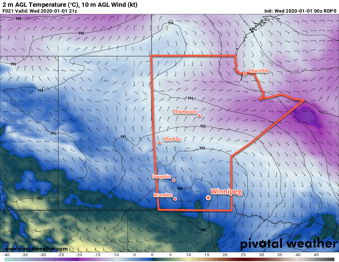
A low pressure system will move through the province today, bringing mild temperatures and plenty of cloud cover. Temperatures will climb to a high near -2°C in Winnipeg today with even warmer highs of 0°C near the U.S. border. Snow will spread southeastwards through the Interlake into southeastern Manitoba today. The band of snow will pass north and east of Winnipeg, but flurries are possible this afternoon and evening. Further south, a second area of light snow will track near the American border, but mostly fall south of the border.

Northwest winds up to 20 km/h will develop tonight behind the low, as temperatures fall to around -10°C. Skies will stay mostly cloudy.

RDPS 2m Temperature Forecast valid 21Z Wednesday January 1, 2020
2020 will start off with seasonably mild temperatures across all of southern Manitoba.

Thursday will bring pleasant weather to the region with a high near -7°C under mostly cloudy skies. The chance for flurries will continue through the morning into the afternoon. No notable features will over southern Manitoba, leaving the region with calm winds. Temperatures will dip to -11°C on Thursday night under mostly cloudy skies.

A more organized low will move from SE Saskatchewan into the Dakotas on Friday. As it does, a second low will move into central Manitoba from northern Saskatchewan. The southern low will support an area of snow that will extend some distance northwards along a trough connecting the two. How far north that snow is able to run up the trough is the unknown that will make the biggest difference on Friday. For now, there’s nothing more to say other than that there’s a chance of snow in Winnipeg, but the likelihood increases heading south towards the U.S. border.

Aside from the snow, it will be another seasonably warm day with a high near -6°C and light winds. Any snow that developed would likely be out of the region for the afternoon. Skies stay cloudy on Friday night with a low near -10°C.

Long Range Outlook

Another low pressure system will move through the province this weekend, likely bringing snow to many parts of the province. Behind this low, colder air will begin working its way into the region again. To start off next week, temperatures are forecast to return to seasonal values with variable cloudiness.

Today’s seasonal daytime high in Winnipeg is -13°C while the seasonal overnight low is -23°C.

Breezy But Continuing Mild in Winnipeg

A breezy northwest wind won’t manage to bring an end to the seasonably mild stretch of weather in Winnipeg.

Breezy northwest winds near 30 gusting 50 km/h will persist in Winnipeg toady as a Colorado Low storm system departs to the east. Unlike most other times, though, this wind isn’t the harbinger of a deep freeze; rather, temperatures will keep roughly where they have been lately with a high near -9°C. Skies will be cloudy through the day with the remnant light snow tapering off. The wind will persist at 20 to 30 km/h tonight with the cloud cover gradually breaking up. Winnipeg will see a low near -15°C, although if the clouds are more stubborn and stick around longer it’ll be closer to -11 or -12°C.

The lack of cold temperatures over the past couple weeks is largely due to the positioning of the Polar Vortex, a persistent winter feature over the Northern Hemisphere. A variety of factors impact where it, and the bitterly cold air associated with it, moves. When the vortex descends into Hudson Bay, it results in the brutal cold snaps across the eastern Prairies.

For the past couple weeks, however, the Polar Vortex has been trundling about the High Arctic. This has kept the coldest temperatures further north and allowed milder Pacific air to cross the Rockies into the Prairies more often. Fortunately (for cold-weather haters), the Polar Vortex is forecast to stay in the High Arctic for the next while. This will allow Winnipeg to continue to see relatively mild temperatures through the rest of the week.

RDPS 10m Wind Forecast valid 21Z Monday December 30, 2019
Breezy northwest winds of 30 to 40 km/h will be in place over the Manitoba Lakes and Red River Valley today.

On Tuesday, a ridge of high pressure will cross Manitoba, bringing an end to the breezy winds and mixed skies. Daytime highs will once again be around -9 or -10°C across the region. A broad area of low pressure developing over the western Prairies will push more cloud into the region on Tuesday night along with southerly winds around 20 km/h. Winnipeg’s low will dip to around -12°C.

2020 will start off with relatively pleasant winter weather in Winnipeg. The broad area of low pressure will move into Manitoba on Wednesday. Skies will be mostly cloudy and while no organized snow will move through, a few flurries are possible. Temperatures will be mild with a high near -4°C. The chance for flurries will continue on Wednesday night with temperatures dipping to around -7°C.

Long Range Outlook

The rest of the week looks seasonably mild with plenty of cloud cover. While a few flurries are possible, no organized snow looks likely until the weekend when another low moves through and brings the chance for accumulating snow to the Red River Valley.

Today’s seasonal daytime high in Winnipeg is -13°C while the seasonal overnight low is -23°C.

End-of-Week Snow Brings Seasonal Temperatures Back

Temperatures in Winnipeg will slowly climb through the rest of the work week, finally reaching seasonal values on Friday when a passing low pressure system spreads snow through the region.

The cold weather will still be in full force today as an Arctic ridge moves across the region. Temperatures will climb to only -18°C in Winnipeg today, but fortunately the wind will be light. The warmer air will begin it’s gradual shift eastwards later in the day, spreading some cloud into the region for tonight. Temperatures will dip to a low near -24°C with light winds.

Thursday will bring partly cloudy skies to the city as the Arctic ridge slowly weakens. Temperatures will climb slightly with Winnipeg’s high expected to reach around -15°C with light east winds. More cloud will push into the region on Thursday evening with light snow likely beginning sometime after midnight. Temperatures will gradually rise to around -12°C by Friday morning.

NAM 24hr. Snow Accumulation Forecast valid 00Z Saturday December 14, 2019
Accumulating snow will move through southern Manitoba on Thursday night through Friday morning.

Light snow will continue on Friday morning across the Red River Valley. Winnipeg and the Red River Valley will receive 5 to 10 cm of fluffy snow before it tapers off. The low pressure system responsible for the snow will push off to the east for Friday afternoon, leaving the region with a few flurries and strengthening northerly winds. By mid-afternoon, winds will pick up to 30 gusting 50 km/h as temperatures drop into the mid-minus teens. A chance for flurries will continue into the evening hours, but some clearing will move in overnight as temperatures dip to a low near -24°C.

Long Range Outlook

Another Arctic high will move through the region this weekend, bringing more cold weather. Winnipeg will see daytime highs near -20°C with overnight lows in the -20 to 25°C range. The region should see plenty of sunshine.

Today’s seasonal daytime high in Winnipeg is -9°C while the seasonal overnight low is -19°C.

Major Pattern Change Sends Arctic Blast Southwards

Winnipeg will see a major shift in temperatures this weekend that will mark the start of a long stretch of colder weather.

A series of passing lows will keep Winnipeg cloudy heading into the weekend with a couple of chances for flurries. A brisk southerly wind will develop this morning, increasing into the 20 to 30 km/h range. This cool outflow from a departing ridge will keep temperatures slightly cooler again today with a high eventually reaching -6°C. An approaching shortwave will bring a chance of flurries to the region later this afternoon into the evening. Skies will stay cloudy overnight with a chance of flurries as temperatures dip to a low near -10°C. The winds will ease in the evening.

Winds will pick up out of the south again on Saturday as an organized clipper system arrives. The city will see a chance for some light snow as a warm front moves through in the morning. Winds will pick up out of the south into the 30 to 40 km/h range in the morning as temperatures head to a high near -1°C. The wind will ease late in the day.

The major pattern shift begins on Saturday evening as a cold front sweeps southeastwards across the province. It will push through, bringing a bit of light snow and then ushering in northwesterly winds of 30 to 40 km/h. There northwest winds will be pushing in much colder air sourced from a large Arctic high moving into the Prairies. Temperatures will dip to a low near -17°C on Saturday night.

GDPS 2m Temperature Forecast valid 18Z Sunday December 8, 2019
Bitterly cold air will begin building into Manitoba on Sunday as a potent Arctic high pushes into the region.

Temperatures will barely recover on Sunday as skies clear out and winds gradually ease through the day. The Arctic high will push into the southern half of the province on Sunday night, sending temperatures into the low minus 20’s overnight.

Long Range Outlook

Unfortunately, there is little improvement for Winnipeg in the medium-range forecast. Cold weather will continue to persist for several more days.

GDPS 850mb Temperature Anomaly Forecast valid 00Z Tuesday December 10, 2019
The forecast 850mb temperature anomalies show Winnipeg embedded within a large outbreak of below-normal temperatures to start next week.

The city will spend much of the week with daytime highs near -20°C and overnight lows in the mid- to low -20’s. Wind chills will also begin to move into hazardous territory with values in the -30 to -40 range possible during the nights.

Moderation towards seasonal temperatures should occur near the end of the week.

Today’s seasonal daytime high in Winnipeg is -8°C while the seasonal overnight low is -17°C.