Near-Seasonal Summer Weather Ahead

Winnipeg will see near-seasonal warmth through the rest of the week as pleasant summer weather settles over the region.

RDPS 2m Temperature Forecast valid 00Z Thursday June 30, 2022
Near-seasonal temperatures will push into southern Manitoba on Wednesday as an approaching low lifts a warm front into the region.

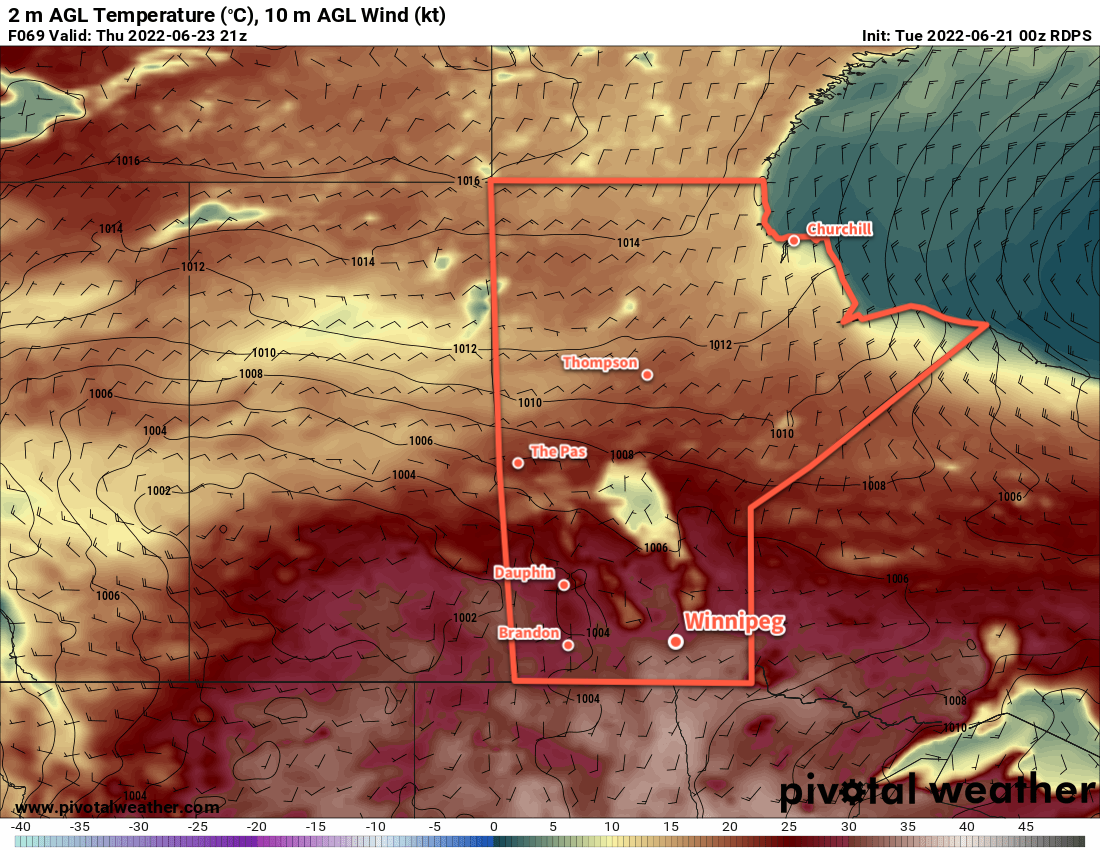
The city will see sunny skies today with cooler temperatures in the wake of a cold front that slumped through last night. A high pressure system moving into the region bring a northerly breeze the region today. Temperatures in Winnipeg will climb close to 20 °C under mainly sunny skies. Temperatures will dip into the upper single digits tonight with light winds.

Seasonal temperatures will return to Winnipeg on Wednesday as a warm front lifts towards the region. This will bring some cloud and a chance of showers to the region in the morning as any remnants of overnight convection slide eastwards. After that, the sun will break through the clouds a bit as temperatures warm into the mid-20s.

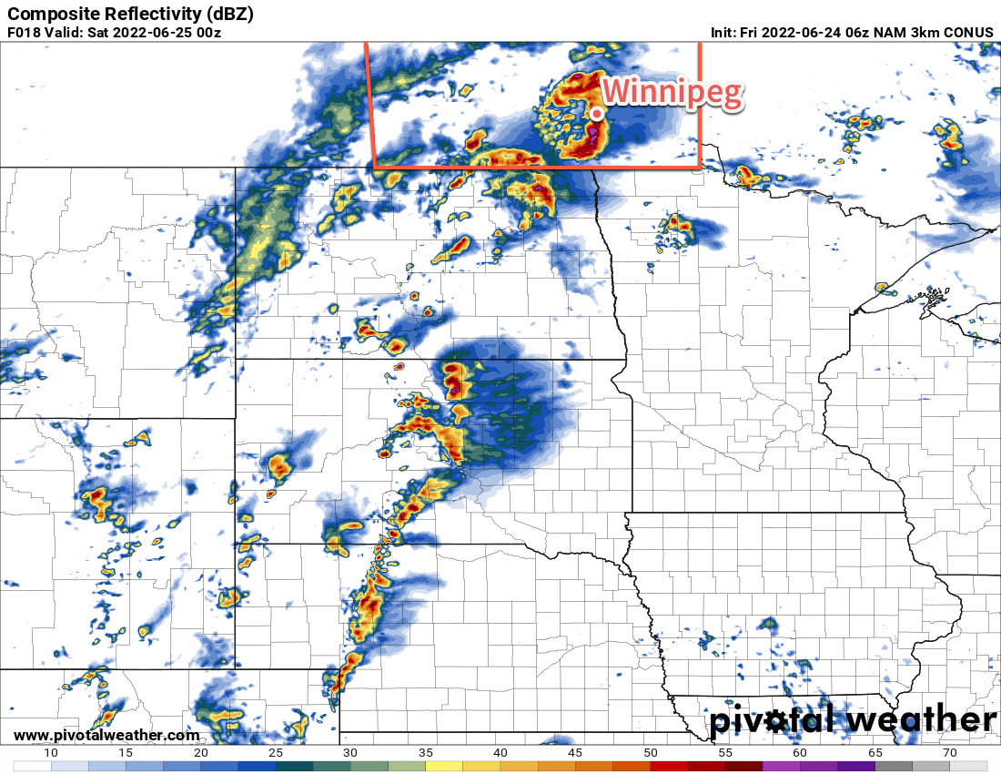
A cold front will push through on Wednesday evening, bringing a chance of showers or thunderstorms to much of the Red River Valley. Temperatures will head to a low in the 10–15 °C range.

On Thursday, some lingering cloud will gradually clear as temperatures warm into the low 20s. Both Thursday and Friday will bring highs in the 20–25 °C range with lows near 10 °C.

Long Range Outlook

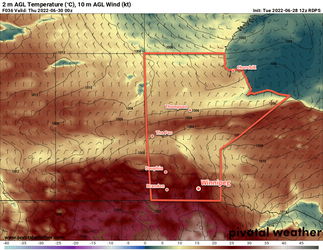
Forecasts show the heat building back in this weekend with highs pushing into the mid- to upper 20s by Sunday. Long-range models show an increased probability of wetter weather, which also suggests that the region may see more unsettled conditions into next week.

Today’s seasonal daytime high in Winnipeg is 25 °C while the seasonal overnight low is 12 °C.

Stormy Friday Leads to Cooler Weekend

Severe weather is possible across southern Manitoba today as thunderstorms fire up in the afternoon.

3km NAM Simulated RADAR Reflectivity valid 00Z Saturday June 25, 2022
Most weather models show strong to severe thunderstorm activity developing over southern Manitoba on Friday afternoon into the evening.

A dynamic weather setup will develop over southern Manitoba today. To begin the day, a warm front lies draped west-to-east across southern Manitoba. Temperatures will warm into the upper 20s this afternoon as a humid air mass pushes northwards out of the Dakotas. A few showers or thunderstorms are possible beginning later this morning, followed by the chance for more potent thunderstorms later this afternoon. All modes of severe weather will be possible, but the main threats will be damaging hail and torrential downpours/flooding. Some thunderstorms may be capable of producing damaging wind gusts. An isolated tornado may be possible too.

Watch for any severe thunderstorm or tornado watches and/or warnings issued by Environment and Climate Change Canada as the day progresses.

The unsettled weather will continue into the evening, then gradually taper off into the overnight period. Temperatures will head down to a low in the mid-teens overnight.

More cloud and unsettled weather will be around for Saturday as an upper low moves through the region. The morning will likely be cloudy with just a slight chance of some showers. Temperatures will climb only to around 20 °C with a strengthening west-northwest wind. As the upper low passes in the afternoon, the region will see a good chance of some more showers swinging in from the northwest. The wind will ease overnight and the showers will taper off as the system tracks off into Ontario. Temperatures will head down to the low teens by Sunday morning.

Finally, mainly sunny skies return for Sunday as a ridge of high pressure moves towards the region. Temperatures will climb into the low to mid 20s with a light northwesterly wind that tapers off later in the afternoon. Temperatures will dip to the mid-teens on Sunday night.

Long Range Outlook

It will be a bit unsettled next week as a relatively active pattern develops over the region. Stormy weather is possible again on Monday, followed by cooler temperatures and calmer weather on Tuesday. Again, Wednesday may bring more showers or thunderstorms that could possibly linger into Thursday. By the end of the week, a pattern of more settled, sunnier conditions should develop.

Today’s seasonal daytime high in Winnipeg is 24 °C while the seasonal overnight low is 12 °C.

Warm Weather Ahead With Chances of Thunderstorms

Although the worst heat has broken over the region, Winnipeg will see a warm week ahead with several chances of thunderstorms.

RDPS 2m Temperature Forecast valid 21Z Thursday June 23, 2022
Hot weather will return to southern Manitoba on Thursday, but humidity levels should be more comfortable than this past weekend.

The upper ridge that brought sweltering heat this past weekend has pushed off to the east, taking the uncomfortable weather with it. In its wake, a shortwave is now lifting through the region and will bring unsettled conditions today.

While the Parkland and Interlake regions see frequent showers and/or thunderstorms today, Winnipeg and the Red River Valley will have two main chances. First, there will be a chance of showers or thunderstorms early this morning as a shortwave moves into the area. Skies will stay on the cloudier side through the day with another chance for showers or thunderstorms in the afternoon. Scattered showers or thunderstorms may be possible in between, but most of the activity should be either in the morning or later in the afternoon.

Temperatures will be much cooler today given the cloud cover with a high in the low 20s for Winnipeg. Humidity levels will also be a lot more comfortable in the mid-teens.

Skies will clear out overnight for Wednesday as a new large-scale weather pattern sets up over the Prairies. Over the next few days, a westerly flow will stay in place over the southern Prairies bringing seasonal to slightly above seasonal temperatures and comfortable humidity levels. Both Wednesday and Thursday should bring mainly sunny skies as the heat returns to the region; highs will climb into mid-20s on Wednesday then into the low 30s on Thursday. Overnight lows will sit in the upper teens both nights. There’s also a small chance of a shower or thunderstorm on Wednesday evening.

Long Range Outlook

The next weather system will be an upper trough will digging into the Prairies at the end of the week. It will bring more cloud to the region for Friday with another chance of showers or thunderstorms. The weekend should bring partly cloudy conditions to the region with highs in the low to mid-20s and lows in the low teens.

Today’s seasonal daytime high in Winnipeg is 24 °C while the seasonal overnight low is 12 °C.

Weather Turning Unsettled This Weekend

Winnipeg will see another day of sunny and mild conditions before cloudier, unsettled weather moves into the region.

RDPS 2m Dew Point Temperature Forecast valid 12Z Monday June 13, 2022
Humid conditions will push into southern Manitoba by the end of the weekend with dew point values climbing into the upper teens.

Today is Winnipeg’s last day under the influence of the upper ridge over the Prairies. After a mostly sunny start to the day, temperatures will climb into the mid-20s for the afternoon. Skies will cloud over through the day as a warm front approaches from the west.

A few showers may be possible this evening, but the activity will weaken though the night. The warm front will stall southwest of the region on Saturday and continue to bring cloud to the region. A few showers may linger across the region early Saturday, but should taper off as the morning progresses.

From Sunday onwards, the upper ridge will slump southwards, allowing multiple disturbances to ride over it across the southern Prairies. While cloud will keep daytime highs in the low to mid-20s, southerly winds will raise dew points into the upper teens. This will give the region the first stretch of humid conditions this summer. Another chance of showers or thunderstorms will develop across the region on Saturday night into Sunday morning. That activity will clear out on Sunday morning, leaving behind mixed to cloudy skies for the rest of the day.

Long Range Outlook

Generally unsettled conditions will persist through the first half of next week as several disturbances roll through the region. A few periods of showers or thunderstorms will again be possible on Monday and Tuesday. Conditions will begin to improve on Wednesday with some sunshine returning the region, but there may be enough lingering instability for a few late-day showers.

Heading into the second half of next week, there’s strong indications that even warmer weather will begin moving into the region. Daytime highs may climb into the upper 20s by the end of next week.

With humid and warmer weather on the horizon, it’s a great time to check to make sure you have some fans in your home and that, if you have it, your air conditioning unit is working correctly. Heat stress is becoming more common in western Canada summers; ensuring that everything works before the warm weather arrives will help protect you. If there are any issues, you’ll likely find what you need easier and cheaper before the heat arrives. If you live alone, think about having someone you might check in with daily this summer during periods of extreme heat, especially if you don’t have access to air conditioning.

It looks like the shift into summer has finally begun; enjoy it! Especially after the winter we just had to endure!

Today’s seasonal daytime high in Winnipeg is 23 °C while the seasonal overnight low is 10 °C.