Mild And Unsettled Conditions Ahead

Out of the grip of Arctic air, Winnipeg will see seasonably mild conditions to start the week. With the warmth will come some unsettled conditions that may bring a couple rounds of showers to the city.

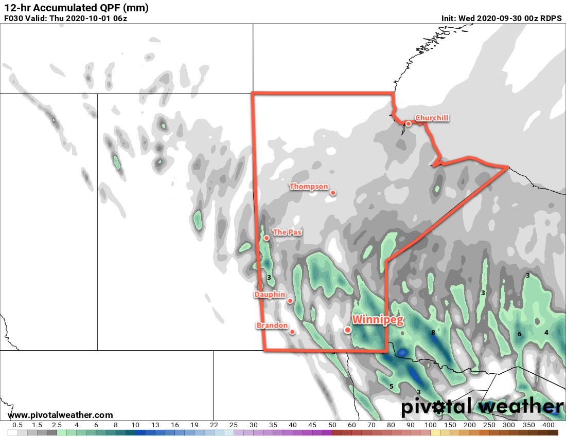
Winnipeg will see a cloudy start to the day ahead of a weak “cool” front that will push through midday. The front will bring a few showers to the region as it moves through, followed by some afternoon clearing. Temperatures should pop up to a high near 18 °C in the afternoon with winds picking up out of the northwest to 30 gusting 50 km/h.

Skies will stay clear only briefly in the evening with more spreading into the region overnight ahead of the next disturbance. Temperatures will dip to a low near 9 °C with winds easing.

RDPS 12hr. Accumulated Precipitation Forecast valid 21Z Monday October 5, 2020
A band of showers will spread across southern Manitoba through the day on Monday.

On Tuesday, a low pressure system passing through the Interlake will bring mild temperatures back to the region again. Winnipeg will see a high near 18 °C with mixed skies. Winds will be light for the morning, but northwest winds near 30 gusting 50 km/h will redevelop as cooler air pushes in again through the afternoon. The city will likely see some showers move through later in the day.

Skies will clear out on Tuesday night with easing winds and a low near 7 °C.

Seasonal temperatures will move into the region for Wednesday with a high near 14 °C in Winnipeg. The city will see mainly sunny skies with light northwest winds. A bit of cloud will build back into the region on Wednesday night with a low near +3 °C.

Long Range Outlook

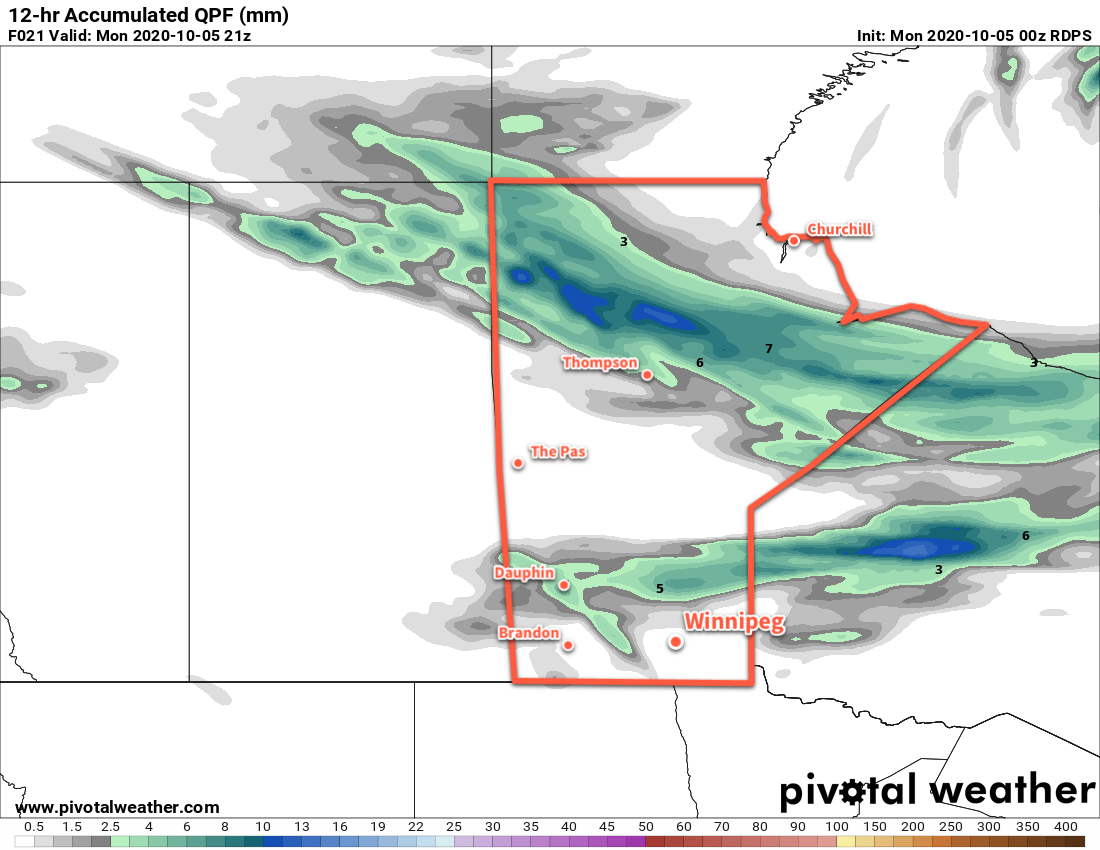
Winnipeg should see near-seasonal temperatures right into the weekend with variable cloudiness. The next notable chance for rain is forecast for the start of next week, so enjoy the pleasant early October weather!

Today’s seasonal daytime high in Winnipeg is 14 °C while the seasonal overnight low is 2 °C.

Cooler Conditions Ahead

A cold front plowing southwards today will usher significantly cooler fall conditions into southern Manitoba.

Winnipeg will see moderate northerly winds today that usher in a seasonably cool air mass that will stick around into the weekend. Under cloudy skies, Winnipeg will see winds strengthen to 40 gusting 60 km/h today in the wake of a cold front that moved through last night. The city will see a chance of showers in the morning, but a more organized area of light rain will move through with another cold front in the afternoon. Temperatures will reach a high of near 11 °C. The wind will persist out of the north through the night near 30 km/h with a low near +2 °C.

RDPS 12hr. Precipitation Accumulation Forecast valid 06Z Thursday October 1, 2020
Showers will spread through southern Manitoba on Wednesday afternoon and evening.

Thursday will bring skies on the cloudier side to the city with temperatures struggling to recover much. That northerly wind will gradually ease through the wind with a high near 8 °C. A few showers will be possible in the lee of the lakes. A high will move through on Thursday night, bringing light winds, partly cloudy skies, and lows dipping just below freezing.

On Friday, a low pressure system will slide southeast through Saskatchewan into the Dakotas. As it moves through, it will spread more cloud over southern Manitoba along with light southerly winds. Temperatures will be seasonably cool again with a high near 9 °C with more showers possible in the evening and overnight as a trough moves across the region. Temperatures will dip to a low near +2 °C on Friday night.

Long Range Outlook

Cool weather will persist into Saturday with some lingering lake-effect precipitation into the afternoon hours. A bit of clearing is forecast to move in on Saturday night, but more cloud returns Sunday as a warm front pushes across the province. This will bring warmer weather back to the region with highs in the mid-teens by Monday. This seasonably warm weather should stick around for much of next week.

Today’s seasonal daytime high in Winnipeg is 15 °C while the seasonal overnight low is 3 °C.

A Brief Warm-Up Followed By Cooler Conditions

Temperatures will briefly warm up on Tuesday before the region transitions into a much cooler pattern.

The city will see mainly cloudy skies today with a seasonably cool high near 12 °C. Winnipeg itself won’t likely see any showers, but lake-effect precipitation will be possible through much of the day in the lee of Lake Manitoba and Lake Winnipeg. Temperatures will dip to a low of only 9 °C tonight with a chance of showers as a warm front pushes through the region.

Tuesday will bring some warmer weather back to the region with a high near 18 °C in Winnipeg. There should be plenty of sun with partly cloudy skies after any lingering early-day cloud clears out. Temperatures will dip to a low near 7 °C on Tuesday night.

A cold front will usher a notable pattern change into the region on Wednesday. Cloud cover will push southwards into the Red River Valle in the morning, followed by a good chance of showers. Temperatures will climb back to a high near 12 °C. Skies will stay mostly cloudy into the night with a continued chance of showers. Temperatures will head to a low near +3 °C.

RDPS 10m Wind and MSLP Forecast valid 00Z Thursday October 1, 2020
Moderate to strong northwest winds will develop over the Manitoba Lakes and Red River Valley on Wednesday.

While Winnipeg will see varied conditions over the next 3 days, one thing will be constant: the wind. Each day will see northwest winds pick up in the morning into the 30–40 km/h range. While the winds may be a bit gusty today and tomorrow, Wednesday will bring the strongest winds with gusts of 60–70 km/h possible.

Long Range Outlook

The second half of the week will be quite cool with highs hovering close to 10 °C and overnight lows dipping to around or just below freezing. The city will see mixed to mostly cloudy skies right into the weekend. A return to seasonal temperatures is forecast for early next week.

Today’s seasonal daytime high in Winnipeg is 15 °C while the seasonal overnight low is 4 °C.

Mild End of Week Turns Cooler and Unsettled

Winnipeg will enjoy a couple more days of mild temperatures before a passing low brings cooler and unsettled conditions back to the area.

Today will be the warmest day in Winnipeg for what could end up being a very long time. Skies will clear out this morning then warm up to a high near 24 °C as winds pick up out of the west into the 20–30 km/h range for the afternoon. The wind will ease this evening and temperatures will head to a low near 9 °C. Another low pressure system will move towards the province tonight, pushing cloudy skies into the city by morning.

Winnipeg will see mostly cloudy skies on Saturday, but temperatures will still be seasonably mild with a high near 20 °C. Winds will pick up out of the south to around 30 km/h for the afternoon. As the low passes to the north in the afternoon, a weak cold front will sweep across the Red River Valley. This will usher in a chance of showers later in the afternoon and into the night for the region. Winds will gradually shift to the northwest overnight as temperatures head to a low near 10 °C.

RDPS 2m Temperature Forecast valid 21Z Friday September 25, 2020
The Red River Valley may not see temperatures as warm as Friday again for quite some time.

Sunday will continue to bring mainly cloudy conditions to Winnipeg as another cold front pushes through the area. Northwest winds of 30 gusting 50 km/h will usher seasonal temperatures back into the region. As a result, Winnipeg will see a comparatively cool high near 15 °C. There will likely be a few showers throughout the day as well. Plenty of cloud will linger into the night as the winds taper off and temperatures head to a low near 6 °C.

Long Range Outlook

Next week will bring seasonal temperatures to the city with highs in the low to mid-teens and lows in the low to mid-single digits. Lake-effect showers will persist in the lee of the lakes through the first half of the week, and more rain is possible Tuesday into Wednesday. Fall has arrived in full!

Today’s seasonal daytime high in Winnipeg is 16 °C while the seasonal overnight low is 4 °C.