Flurries Start Off A Cool Weekend

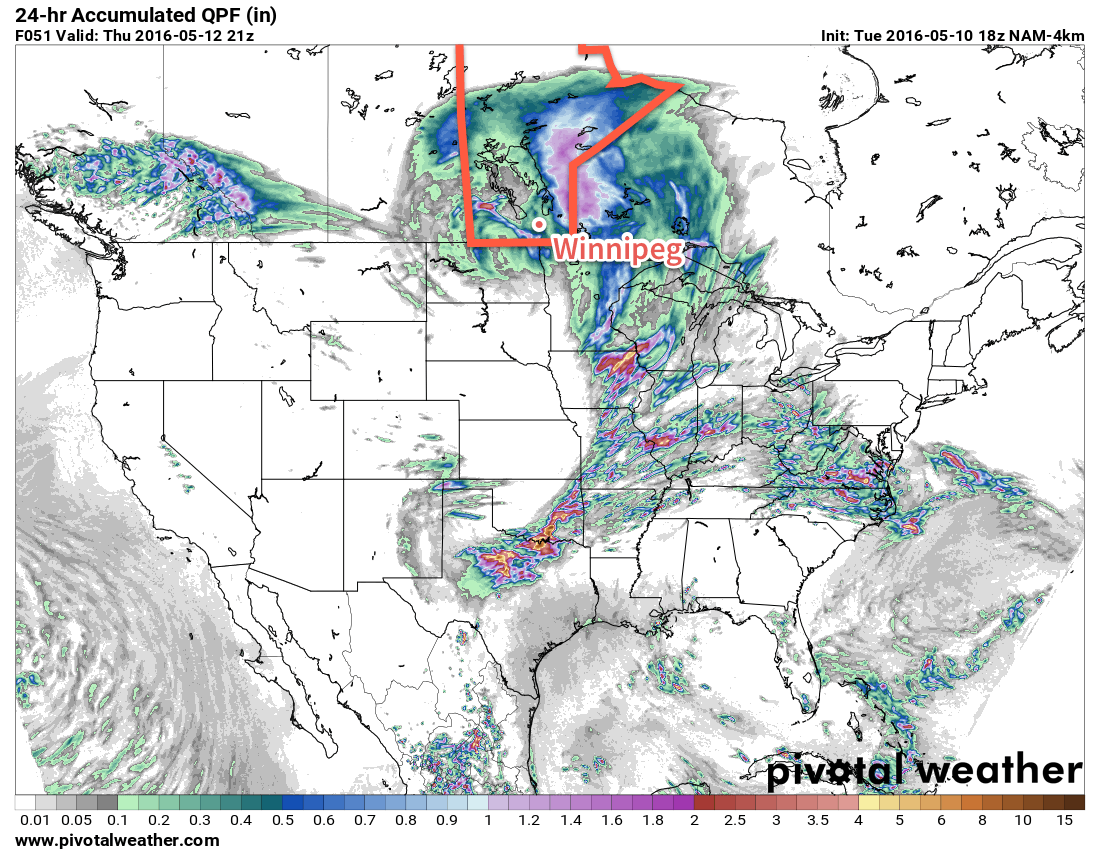
Today will start off with flurries moving through the Red River Valley, setting the stage for a snap of cool weather that will bring temperatures well below seasonal. While temperatures will rebound slowly through the weekend, it will hardly be beautiful spring weather.

Today will be a rude awakening for many, as cold temperatures combine with a weak disturbance rolling through the region to produce widespread light flurry activity through the Red River Valley. Some places might get lucky enough to see things change over to scattered showers briefly this afternoon, but for the most part, expect some light snow for much of the morning and into the afternoon. Fortunately, the snow won't really stick and no accumulation is expected.

In addition to the snow, the winds will continue to be strong out of the northwest at 40 gusting 60km/h with a daytime high that just barely gets to 5°C.1 Temperatures will dip to near the -4°C mark tonight with clearing skies. Near the core of Winnipeg it's not as likely that there will be a hard freeze, but certainly near the outer edges of the city and into the rural areas a significant freeze is likely so you may want to take precautions if you've any sensitive plants outside already.

GDPS Forecast 850mb Temperature Anomaly
The 850mb temperature anomaly forecast shows a large core of below-seasonal (blue) temperatures over Manitoba today.

Saturday will finally bring out the sun in Winnipeg, but it will continue to be chilly with a daytime high of 9°C under mainly sunny skies. Winds will continue out of the northwest, but be slightly weaker at 20km/h or so. Expect a low near the freezing mark on Saturday night with partly cloudy skies and light winds.

Sunday will see another disturbance moving through the province in the northwest flow. More cloud will move into Winnipeg alongside slightly warmer temperatures; daytime highs are expected to climb into the mid-teens! A band of showers will likely move through in the afternoon, bringing a decent chance of precipitation to most areas in the Red River Valley. Winds will vary through the Red River Valley from light to around 30km/h. Expect a low on Sunday night near 3°C with partly cloudy skies.

Long Range: Climbing To Seasonal

Looking ahead to the start of next week, it appears that temperatures will make a continued climb back towards seasonal, however the with a stubborn upper trough refusing to leave the area, that could end up taking longer than expected. Conditions aren't expected to be too bad with a good mix of sun and cloud and highs in the mid- to upper-teens. There will be a slight chance of showers.

Winnipeg’s seasonal daytime high is currently 19°C while the seasonal overnight low is 5°C.

  1. Nearly 15°C below normal for daytime highs right now in Winnipeg.

Unsettled Transition to A Cool Weekend

An upper-level low tracking across the province today will bring showers to the region and mark the beginning of a transition into cooler weather that will persist through the weekend.

Today will bring another batch of showers to Southern Manitoba as an upper-level low that has brought several days of much-needed rain to Saskatchewan pushes across Southern Manitoba. Much of today will be cloudy for Winnipeg & the Red River Valley until this evening when showers develop underneath the core of the upper low. Much of the precipitation expected today will fall through the evening & overnight, with anywhere from a trace to another 5-10mm possible across the area. There's an outside chance of a lightning strike or two, but no organized thunderstorm threat is expected.

Winds will strengthen out of the south-southeast at 20-30km/h today, with temperatures climbing to around 17°C. As the low passes by tonight, the winds will diminish and shift out of the northwest, making for a damp and chilly night with temperatures dipping to around 6°C.

The high-resolution NAM shows a further 10*mm* or so of rain tonight for Winnipeg.

Any remaining shower activity will taper off on Thursday morning with a slight chance of some more shower activity lingering through the day. Skies will remain mostly cloudy and the wind will pick up to a fairly moderate breeze out of the northwest at 30-40km/h. Temperatures will be cooler with a high near just 11°C. While the cloud will break up a little bit on Thursday night, Winnipeg will likely be stuck with mostly cloudy skies and northwesterly winds at 30km/h. It will be quite chilly with low temperatures bottoming out at 1-2°C.

The cold overnight low on Thursday night combined with a weak disturbance slumping southwards will mean that Winnipeg will see a chance of…flurries on Thursday night into Friday morning.

The clouds will gradually part on Friday and the sun should make an appearance for the afternoon. Temperatures will be well below normal, though, with a high of just 6-7°C and breezy northwesterly winds again at 30-40km/h. Friday night will bring partly cloudy skies, diminishing winds and a low temperature dipping below the freezing mark and bottoming out near -3°C.

850mb Temperature Anomaly valid 12Z May 14, 2016
This plot of 850mb temperature anomalies for Saturday morning shows the below-normal temperatures that will be in place later this week.

The below-seasonal temperatures will persist through the weekend and into early next week before finally beginning to return to normal in the middle of the week.

Winnipeg’s seasonal daytime high is currently 19°C while the seasonal overnight low is 5°C.

Cooler Temperatures On The Way, But Still Above Normal

A cold front sweeping through Southern Manitoba this morning will bring an end to the incredible heat that baked the province yesterday and shattered numerous record high temperatures. What moves in behind the front can hardly be called cold, however, as above-seasonal temperatures continue in the region for the coming several days.

May 5th: Records High Temperatures Shattered Across The Province

A very hot and dry air mass moved into Southern Manitoba yesterday and, somewhat predictably, resulted in numerous new record high temperatures as records were broken all over the place. This air mass had broken essentially every single high temperature record in Saskatchewan the prior day[1] and was the source of numerous record high temperatures in Alberta, exacerbating the fire situation that has resulted in one of the largest wildfire disasters[2] in Canadian history in Fort McMurray.

Time-series of Winnipeg's Temperature & Dewpoint on Thursday May 5, 2016
This graph of Winnipeg’s temperature clearly shows the very rapid warm-up on Thursday morning.

Temperatures rocketed up early Thursday morning with many places reaching 30°C by midday, and by mid-afternoon temperatures of 32-34°C were commonplace over the region. These very warm temperatures resulted in a large number of record high temperatures being broken:

Record High Temperatures Set on May 5, 2016
Location May 5th High Previous Record
Brandon 34.3°C 31.7°C (1934)
Dauphin 34.4°C 31.7°C (1918)
Fisher Branch 34.5°C 25.5°C (1987)
Gimli 33.8°C 26.3°C (1987)
Gretna 35.1°C 26.0°C (2000)
Melita 33.3°C 28.2°C (1993)
Pilot Mound 33.3°C 27.8°C (1939)
Pinawa 32.0°C 27.0°C (1987)
Portage La Prairie 34.2°C 31.7°C (1918)
Sprague 33.6°C 32.8°C (1939)
Swan River 34.5°C 30.0°C (1911)
Winnipeg 35.2°C 31.7°C (1926)

Winnipeg’s official high of 35.2°C marked the earliest date for a temperature 30°C or higher, beating out the more than 140 year old record of May 8th, 1874. Additionally, the difference between yesterday morning’s low of -2.4°C and today’s high marks the 3rd largest spread between a daytime high and the previous day’s overnight low since record began in 1872.[3]

Windy Friday Followed by a Pleasant Weekend

Today will see fairly windy conditions behind the cold front that will sweep through this morning. Gusty winds will strengthen out of the northwest to 40-50 km/h behind the front as temperatures head towards a high of 19°C. Skies will be mixed, but no precipitation is expected.

Winds will taper off this evening as temperatures head towards a low near 6°C under mainly clear skies.

RDPS 10m Wind & MSLP Forecast – Valid 15Z Friday May 6, 2016
Moderate northerly winds are expected to pick up Friday morning behind a cold front moving through the region.

The weekend will be fairly pleasant with mild temperatures as highs on both Saturday & Sunday climb into the low 20’s. Saturday will still be a bit wind with northerly winds to 30-40 km/h, however they should ease for Sunday. Skies will be fairly sunny throughout the weekend with no chances for precipitation!

Long Range: Some Rain? Maybe?

Temperatures will continue at near-to-above seasonal heading into next week, with some hints that the weather may become more unsettled.

The general trend in the models is to introduce a very large, slow-moving upper trough early next week over the west coast and to have it gradually move eastwards. Precipitation patterns at this point appear convectively driven over small regions, but also slow-moving which means that moisture may become feast or famine next week. The last thing moisture-strained regions of the Prairies need is prolonged periods of heavy rain, so we’ll be keeping a close eye on how the forecast of this system changes as it approaches!

Winnipeg’s seasonal daytime high is currently 17°C while the seasonal overnight low is 3°C.


  1. The bulletin issued by Environment Canada:

    A SOUTHWEST FLOW OF VERY WARM AIR OVER THE PRAIRIES HELPED TO SET NEW RECORD HIGHS AT VIRTUALLY EVERY REPORTING SITE IN SASKATCHEWAN TODAY, MANY WITH LONG STANDING RECORDS. THE FOLLOWING ARE DAILY RECORD HIGH TEMPERATURES SET TODAY MAY 4TH AT ENVIRONMENT CANADA MONITORING STATIONS, 27 IN TOTAL.

    Saskatchewan Record High Temperatures Set on May 4, 2016
    Location May 4th High Previous Record
    Assiniboia 30.2°C 28.3°C (1918)
    Broadview 29.7°C 27.2°C (1918)
    Buffalo Narrows 30.0°C 26.0°C (1992)
    Collins Bay 22.5°C 21.5 (1987)
    Elbow 31.0°C 27.2°C (1918)
    Estevan 30.1°C 30.0°C (1939)
    Hudson Bay 31.1°C 25.6 (1987)
    Key Lake 28.1°C 22.0 (1987)
    Kindersley 29.0°C 28.9°C (1918)
    La Ronge 33.2°C 24.8°C (1987)
    Leader 31.2°C 29.4 (1936)
    Maple Creek 29.2°C 27.8·C (1936)
    Meadow Lake 32.3°C 26.1°C (1992)
    Melfort 32.4°C 27.2°C (1918)
    Moose Jaw 31.8°C 31.7 (1918)
    Nipawin 32.8°C 31.1°C (1949)
    North Battleford 31.1°C 27.2°C (1897)
    Prince Albert 32.4°C 27.8 (1918)
    Regina 31.4°C 29.4°C (1918)
    Rosetown 31.7°C 27.5°C (1992)
    Saskatoon 32.6°C 30.0°C (1918)
    Stony Rapids 27.7°C 22.0°C (1987)
    Swift Current 29.3°C 28.9°C (1918)
    Watrous 32.3°C 26.1°C (1977)
    Weyburn 29.9°C 27.3°C (1926)
    Wynyard 30.6°C 25.6°C (1987)
    Yorkton 30.5°C 30.0°C (1930)

     ↩

  2. At least with respect to the human impact.  ↩
  3. Thanks to AWM contributor Julien for digging those stats up.  ↩

Beautiful Start to May

May is getting off on the right foot, with sunny skies and mild temperatures expected this week. No major precipitation is expected either, helping to continue the drying process after our heavy April rains.

Today will be one of the warmest days of the year thus far, as temperatures climb above the 20C mark. High temperatures in the 21-23C range are generally expected. Skies will be mainly sunny, with only some light upper cloud cover rolling through. Light winds and dry soil should develop superadiabatic profiles near the surface, helping to ensure we warm as much as possible today. There isn’t much else to be said about today’s conditions, so enjoy it!

Very pleasant conditions are expected in southern Manitoba today

Tuesday will feature a slight cool-down as a cold front passes through early in the morning. You’ll notice that this front has passed because winds will be brisk throughout the day, with speeds of 40 km/h gusting to 60 km/h out of the north. Temperatures won’t drop too much though, with highs still expected to be in the mid teens under sunny skies.

Wednesday will see temperatures hovering in the mid teens once again, but the gusty winds from Tuesday will have died down. Skies are expected to remain sunny as we will be under the influence of a surface high pressure system.

Long Range

Long range models suggest that the first half of May will generally see above-seasonal temperatures. A large upper ridge is expected to remain over Western Canada, helping to keep our skies sunny and temperatures mild. There is no indication yet about how the second half of May will fare, but it appears the month as a whole will end up being warmer than normal.