
Winnipeg baking underneath it’s hottest day in 16 years
An extremely warm air mass, combined with brisk westerly winds, brought record heat to much of southern Manitoba. Winnipeg officially reached 37.0C today, breaking the old record of 36.7C set in 1952 and marking the warmest day the city has seen since June 17, 1995 when the mercury soared to 37.8C.
The warm weather spread into Southern Manitoba ahead of a cold front sweeping cooler air into the province by Tuesday evening. A westerly, downslope flow coupled with extremely warm air at 850 mb pushed the mercury to record-breaking levels in many areas across Southern and Central Manitoba, including:
| Location | New Record | Old Record (Old Year) |
Records Started |
| Winnipeg | 37.2° | 36.7° (1952) | 1873 |
| Fisher Branch | 34.2° | 31.0° (1990) | 1977 |
| Gretna | 36.5° | 31.1° (1965) | 1955 |
| Island Lake | 29.1° | 27.8° (1976) | 1971 |
| Melita | 33.3° | 32.2° (1997) | 1993 |
| Pinawa | 35.4° | 31.1° (1969) | 1964 |
One thing that was very interesting, though, was that the International Airport in Winnipeg was actually one of the cold spots in the city. Various personal weather stations reported even higher temperatures:
| Location | Today’s High |
| Birds Hill Park | 38.0° |
| Charleswood | 38.0° |
| East St. Paul | 37.0° |
| Island Lakes | 36.9° |
| St. Vital | 38.8° |
| Whyte Ridge | 37.7° |
Fortunately, a cold front passing through this evening will usher in cooler weather and stronger winds. An intensifying surface pressure gradient on the back-side of the cold front will bring strong winds into Winnipeg tomorrow with sustained winds expected to reach 50km/h with the potential for gusts as high as 80km/h. Temperatures will be about 13-15 degrees cooler than today, with highs of 23-25° expected for much of Southern Manitoba.
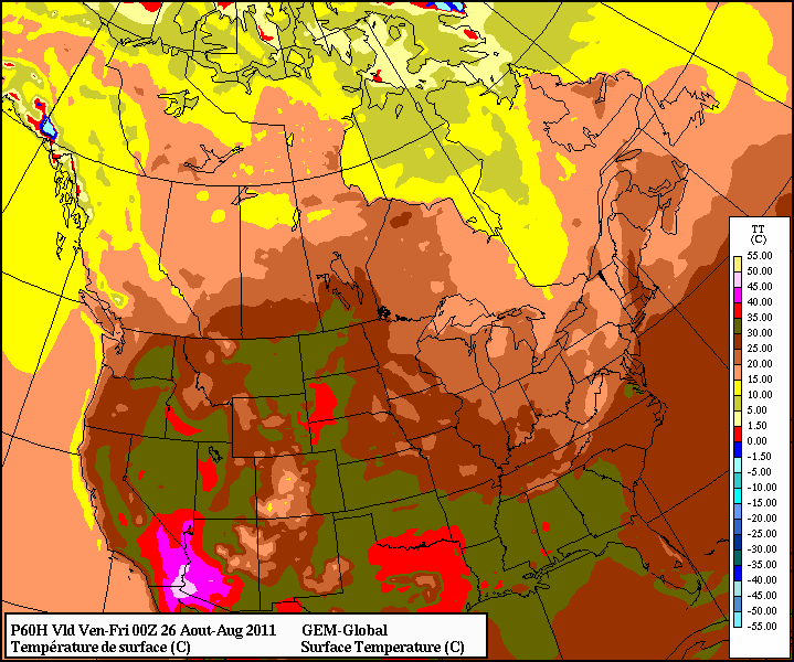
12Z Aug 23 GEM-GLB Temperature valid 00Z Fri Aug 26
However, after just one cooler day, warmer weather is expected to return to Southern Manitoba. By Thursday afternoon, temperatures should push back up towards the 30° mark with a southerly flow that redevelops through the day. Late Thursday evening a cold front will pass across the RRV, bringing us back into daytime highs of 22-25° for the weekend. Currently, no precipitation is expected with this front, but I’ll keep an eye on it through the week.