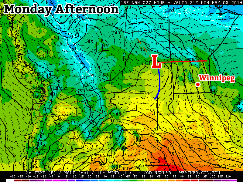
Summer weather will continue to elude us as a complicated weather pattern is set to bring more unsettled weather this week. A series of moderate to strong disturbances will move through Southern Manitoba, each bringing a chance for rain. The first major disturbance looks to move through on Tuesday, with a second major disturbance coming through on Wednesday night.

At this point it appears that each of these pieces of energy will just bring light to moderate rain to parts of southern Manitoba. However, there is always the potential for heavier amounts if convective elements (i.e. thunderstorms) become embedded within the larger area of rain. These disturbances will be coming in from the south-west along a strong jet stream.
This strong jet may also be the focus for severe thunderstorms in the US Great Plains this week, so you may wish to keep tabs on that if you’re a thunderstorm enthusiast!
Monday
Today will be seasonably cool, with high temperatures in the low teens. Skies will be a mixture of sun and cloud to mainly cloudy, but at least no precipitation is expected. There will be a breezy south wind during the day, but it shouldn’t be quite as windy as it was on the weekend.
Tuesday
Tuesday is expected to feature showers in much of southern Manitoba. There is also a slight risk of a thundershower, which may lead to isolated pockets of heavier rain. Temperatures will be in the low to mid teens with a south wind once again.
Wednesday
Wednesday will be, you guessed it, unsettled once again, with the threat of showers remaining in southern Manitoba. Temperatures will be in the low teens, with a light northerly wind.
Long Range
The long range forecast suggests we’ll see warmer temperatures this weekend. By warmer, we’re talking probably upper teens or maybe low twenties. It won’t be anything spectacular, but those values will feel quite warm considering the weather we’ve seen as of late.
