Slightly below-normal temperatures are on the way for the coming few days alongside variable cloudiness, but above-seasonal warmth may be poised to return next week.
Today will be marked by westerly winds behind a cold front that will usher any remaining flurries out of the region and bring sunshine back to the region. Temperatures will slide through the day to around -7°C by this evening as cooler air slumps into the region as winds gradually diminish. A bit of cloud will move through overnight, bringing a slight chance of some scattered flurries, as temperatures dip to a low near -11°C.
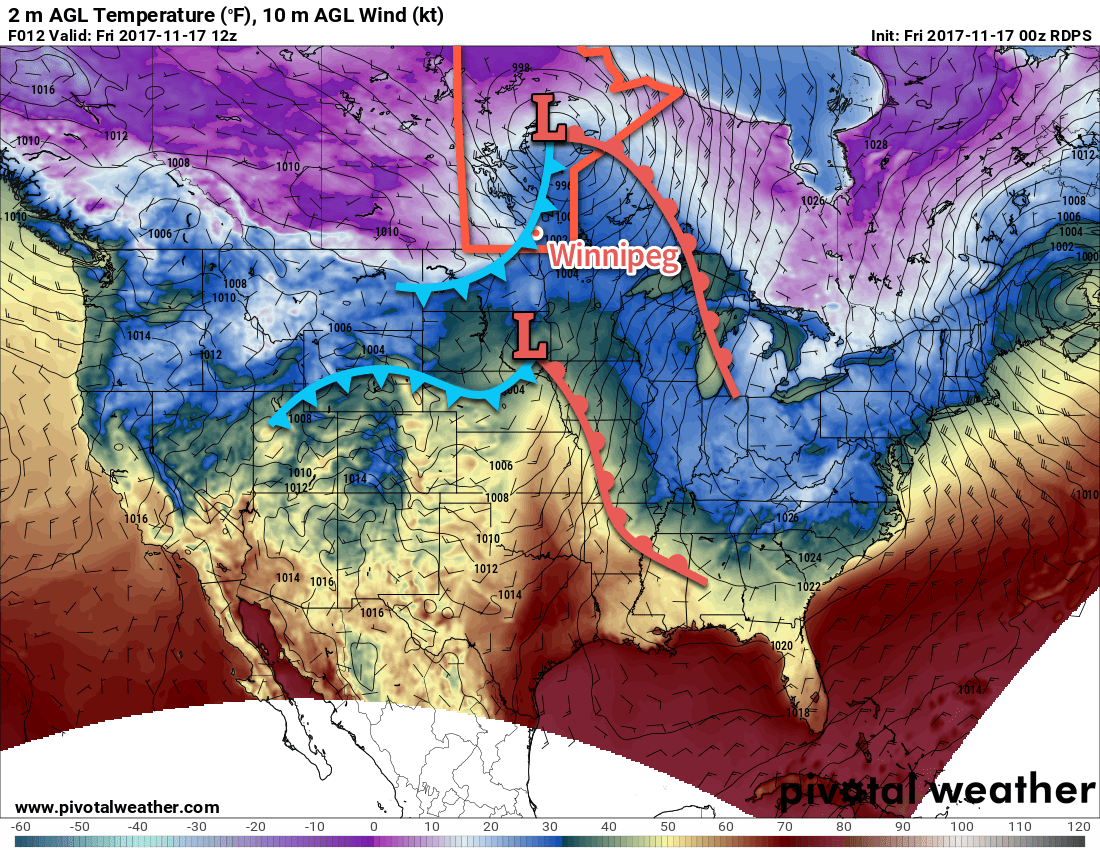
Saturday will see partly cloudy skies as a ridge of high pressure builds eastwards across the Prairies. Winds will pick up early in the day out of the northwest at 20 to 30 km/h, backing towards the west in the afternoon before tapering off as the ridge approaches in the evening. Temperatures will be cool with a high near -8°C. Temperatures will be quite cool on Saturday night as the main ridge axis moves into the Red River Valley. There will be a chance of some light lake-effect precipitation, but will be quite dependant of if there’s enough open water remaining to produce snow.
Lows will depend significantly on how much cloud ends up in the region. While skies are expected to be generally clear, but some cloud will begin building into Manitoba from the west as a warm front sets up in eastern Saskatchewan. Should skies cloud up earlier, lows near -13 or -14°C seem reasonable; should it remain clear all night, temperatures could dip as low as -20 or -21°C. At this point, we’re going to go with an answer somewhere in the middle, with cloud pushing in through the second half of the night and a low near -17°C.
Sunday, at this point, looks like a cloudier morning will give way to a sunnier afternoon. A daytime high near -5°C will be slightly warmer than Saturday as the coldest air moves into Ontario. Winds will be light, making for a relatively pleasant November day. Expect a low near -9°C with increasing cloud on Sunday night.
Long Range Outlook
A low crossing the northern Prairies will bring more cloud and highs back towards 0°C for Monday, followed by a moderate northwesterly wind and the return of cooler weather for Tuesday. After that, things start getting pretty hazy, and there doesn’t seem to be a lot of predictability on which way things will go. The trend appears to be towards a period of above-seasonal temperatures with near-normal precipitation, but we’ll have to wait until a little more consensus appears on how likely that will actually be. That said, it appears the cold snap that defined November’s start has come to an end…for now!
Winnipeg’s seasonal daytime high is currently -2°C while the seasonal overnight low is -11°C.