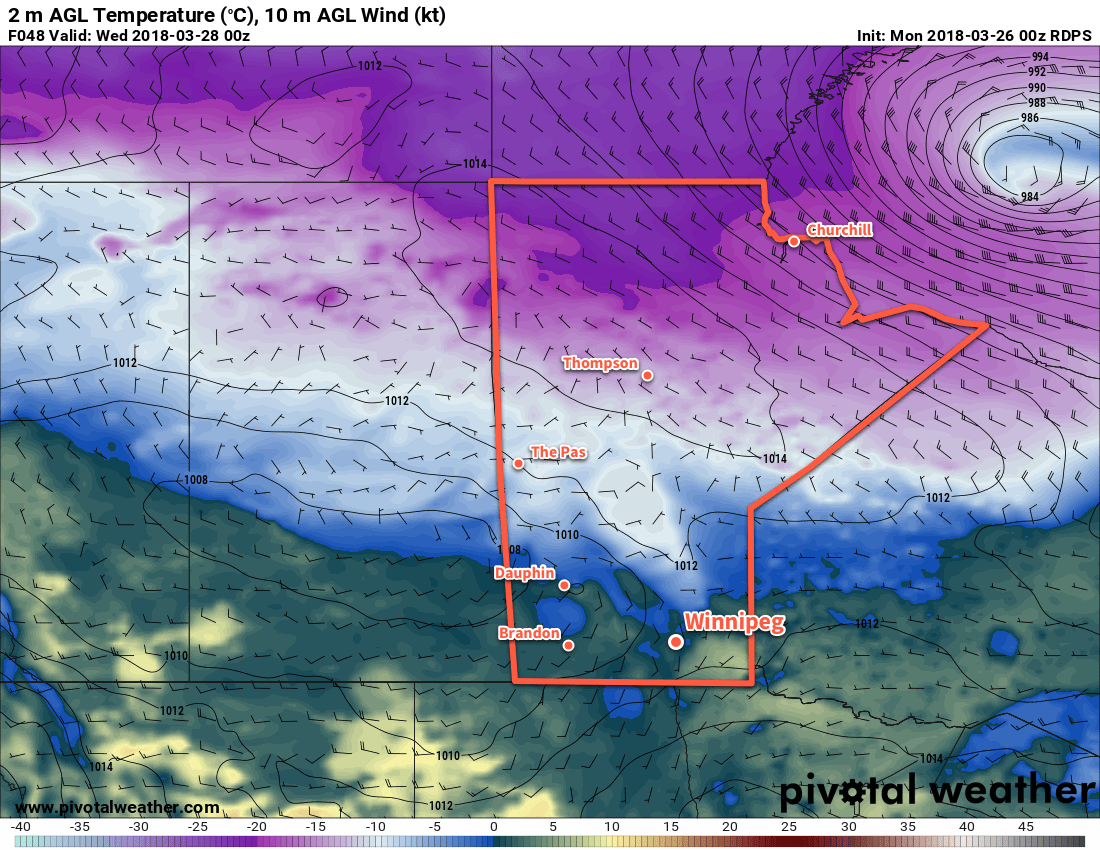
Winnipeg will see a couple more days of near-seasonal temperatures before a cold front swings through on Wednesday. Behind the passage of the cold front, a cooler Arctic air mass will settle over the region, bringing March to a close with significantly cooler-than-seasonal temperatures.
Mostly cloudy skies will continue in Winnipeg today with light winds and a high near +2°C. Temperatures will down to a low near -3°C tonight under mostly cloudy skies as well. A low pressure system moving through northern Manitoba tonight will bring westerly winds into the Red River Valley for Tuesday, which will help clear out the cloud cover and bring some sunshine back to the region. Temperatures should reach a high near +4 or +5°C, but with fairly warm temperatures aloft in advance of the next low pressure system, isolated areas with less snow cover could see temperatures as warm as +7 or +8°C.
As the next low pressure system pushes into southern Manitoba on Tuesday night, more cloud will build back into the region with southerly winds of 15 to 25 km/h. There may be a passing shower or flurry on Tuesday evening, then temperatures will head towards a low near -1°C. The centre of the low pressure system will move through the Red River Vally on Tuesday night, bringing with it what looks like a fair chance of drizzle or freezing drizzle, depending on exactly what the temperature is at the time.
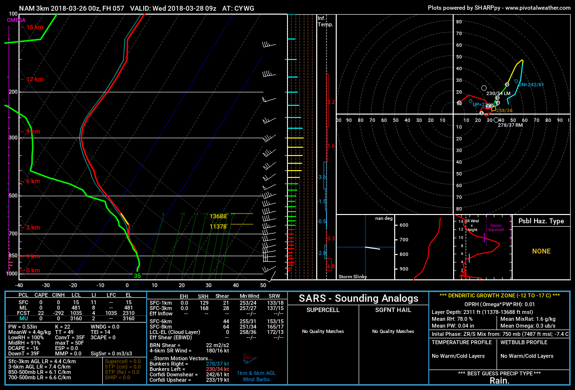
Wednesday will see any remaining drizzle dissipate in the morning as a cold front slumps southwards. Temperatures will drop in the wake of the front to near -3°C by the evening as northwesterly winds of 30 to 40 km/h usher in a colder air mass. The cloud cover should break up on Wednesday night as temperatures drop to a low near -12°C.
Long Range Outlook
The remainder of March into the start of April will bring well below-seasonal temperatures to the region.
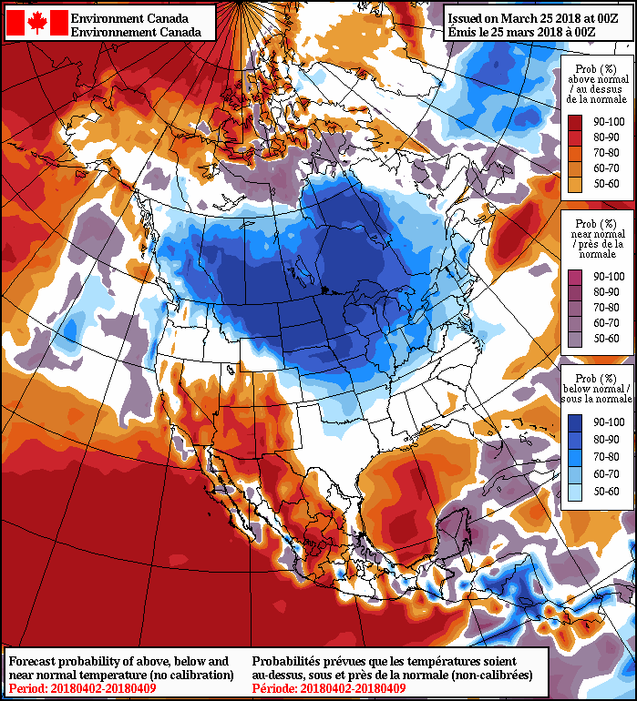
The remainder of the week into the weekend is looking unseasonably cold with daytime highs in the mid-minus to low-minus single digits and overnight lows in the -15 to -20°C range. The cold will linger at least through the beginning of next week.
Winnipeg’s seasonal daytime high is currently 3°C while the seasonal overnight low is -8°C.