Winnipeg will see another beautiful, warm start to the week, but another low pressure system pushing northwards out of the United States will bring showers and thunderstorms back to the region for Tuesday and Wednesday.
Under the influence of a broad area of high pressure, Winnipeg will see beautiful conditions today with plenty of sunshine and a high temperature near 28°C. Winds will be light and humidity will be comfortable, leaving little to complain about! Later in the afternoon, a bit of cloud will begin spreading into the Red River Valley as a low pressure system begins moving into North Dakota.
Temperatures will remain mild tonight as warmer, humid air begins building into the province as the North Dakota low continues to approach. Temperatures in Winnipeg will drop to around 17°C with winds picking up out of the south to around 30 km/h. A few showers or thunderstorms may develop and move through the region overnight.
Winnipeg will see humidity levels increase on Tuesday as dew points climb into the upper teens; combined with a high near 29°C, humidex values are forecast to reach into the mid-thirties. The morning will bring mixed to cloudy skies as any nocturnal convection finishes moving through, then Winnipeg and the Red River Valley will see a few sunny breaks through the early afternoon.
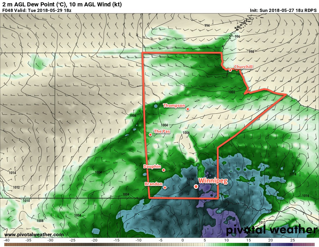
As the heat and humidity builds, showers and thunderstorms will likely develop across much of southern Manitoba in the afternoon. Triggered by the incoming disturbance from North Dakota, the showers and thunderstorms will spread northeastwards through the night. There is a small chance some of these thunderstorms could be severe with large hail being the primary threat. There are indications that a few areas may see some training thunderstorms with local rainfall accumulations of 25-50 mm.
Wednesday will be a much cooler day in Winnipeg with high temperatures only near 22°C. While this is significantly cooler than the city has seen over the past while, it’s in fact near-seasonal for this time of year. Skies will remain mostly cloudy with a good chance of showers as the low centre itself moves through the region. Some breezy northwesterly winds will move in through the afternoon, picking up to around 30 km/h.
Skies will remain mostly cloudy on Wednesday evening with northwest winds near 20 km/h and a low near 14°C.
Long Range Outlook
Winnipeg will see a break from the heat through the remainder of the week with near-seasonal temperatures forecast. Skies look cloudier than not, with generally unsettled weather returning for the end of the week into the weekend.
Winnipeg’s seasonal daytime high is currently 22°C while the seasonal overnight low is 8°C.