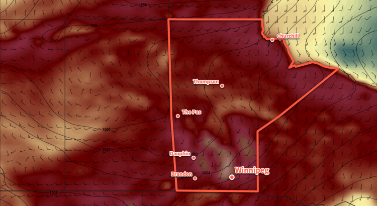
Winnipeg will see a single day of cooler than normal temperatures before they begin to soar back to 30°C and above for the weekend.
Temperatures will be cool today in Winnipeg as a high pressure system moves through the province behind the cold front that passed through on Tuesday morning. The high will clear out any remaining cloud and bring very light northeasterly winds to the region. Winnipeg should see a high near 22°C, followed by a low near 10°C tonight.
Thursday will be a transition day for Winnipeg. Near-seasonal temperatures will return to the region as a low pressure system develops over the western Prairies. This developing low will bring moderate southerly winds back to the region, drawing a more summer-like air mass northwards out of the American Plains. Winnipeg will see mixed skies with a high near 27°C, but that southerly wind increasing to 40 gusting 60 km/h will put a bit of a damper on things. Much of southern Manitoba will see a chance of showers or thunderstorms Thursday evening into the overnight as the low pressure system approaches. Winds will ease a bit into the 20 to 30 km/h range as temperatures head to a low near 18°C.
By Friday, Winnipeg will be back into full-fledged summer mode. The city will see partly cloudy skies as temperatures climb to a high near 32°C. Winds will be lighter than on Thursday, out of the south at just 15 to 25 km/h. Temperatures will remain warm on Friday night with a low near 19°C.
Long Range Outlook
The warmth that moves in on Friday will mark the beginning of a prolonged period of above-seasonal temperatures.
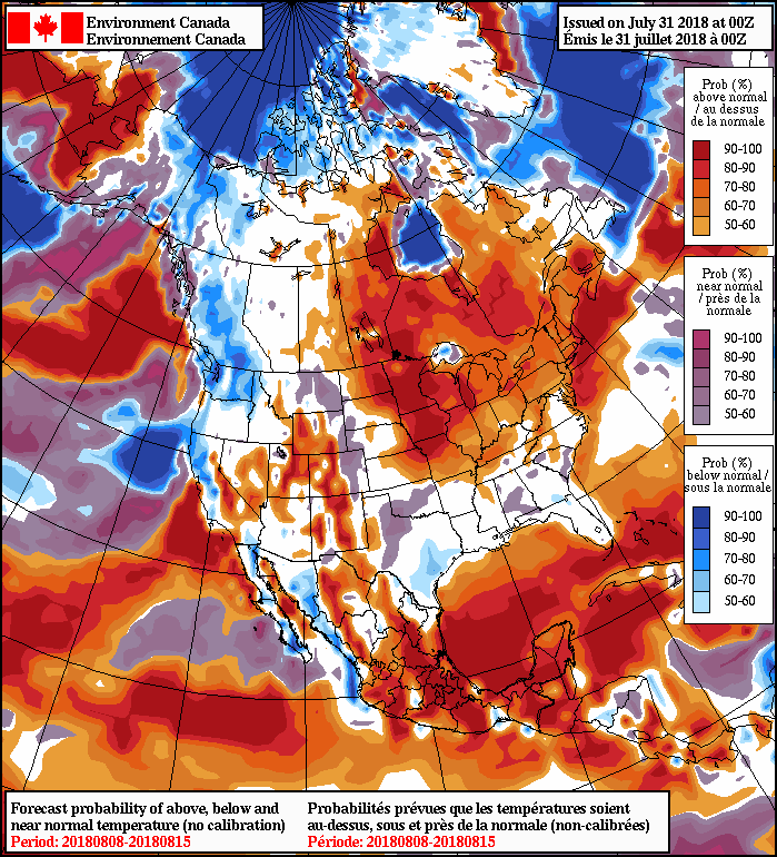
Broad upper-level ridging will develop over the coming week as the subtropical high moves into the central United States. This will sustain a broad dome of very warm air that will easily be spread into our region. Winnipeg will see highs in the low 30s this weekend, followed by upper 20s to mid 30s next week. Lows will remain warm in the upper teens.
Rain-wise, forecasts are showing a high probability of dry conditions. That said, thunderstorms are tricky things, and several upper disturbances rippling through over the coming weeks will bring a few chances for showers or thunderstorms.
Winnipeg’s seasonal daytime high is currently 26°C while the seasonal overnight low is 13°C.